
Wintergreen trails for preschool children
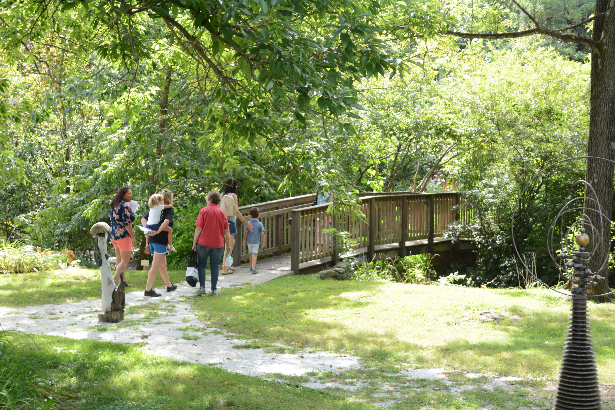
Make sure your children take on trails that match their skill level, size, and physical and emotional maturity. Young children will need constant contact attention outdoors at Wintergreen. An eye on the weather is always wise in the mountains, but especially when hiking with kids. Check over these proven tips for hiking with young kids from Jessica Averett.
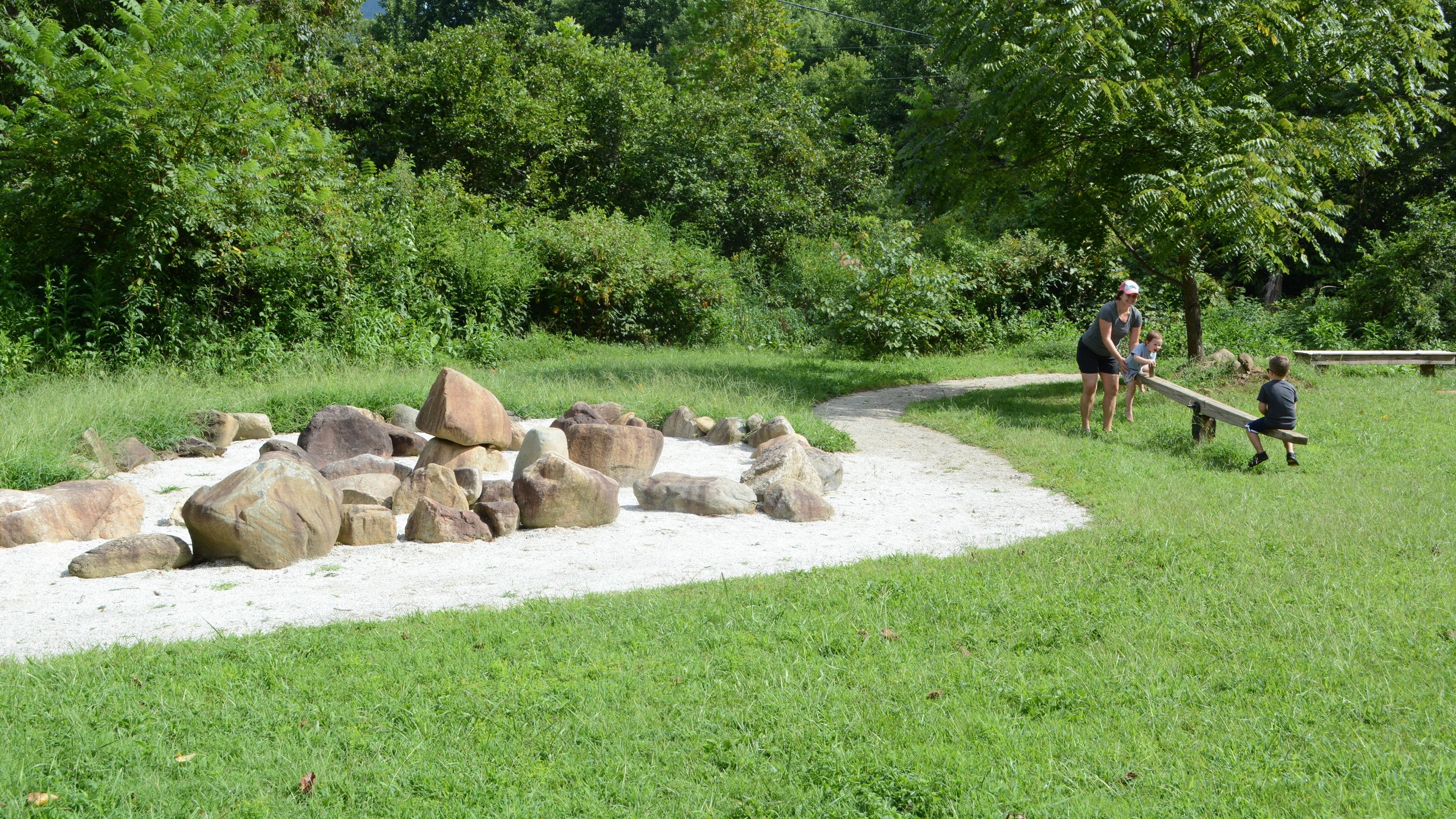
Looking for Wintergreen-area playgrounds for children?
Go here
The trails are open to the public.

Ravens Roost Park
Distance: 0.1 miles.
Blaze Color: Yellow.
Difficulty Level: EASY.
Key Features: overlook platform, bird watching, great vista.
Google map directions to trailhead
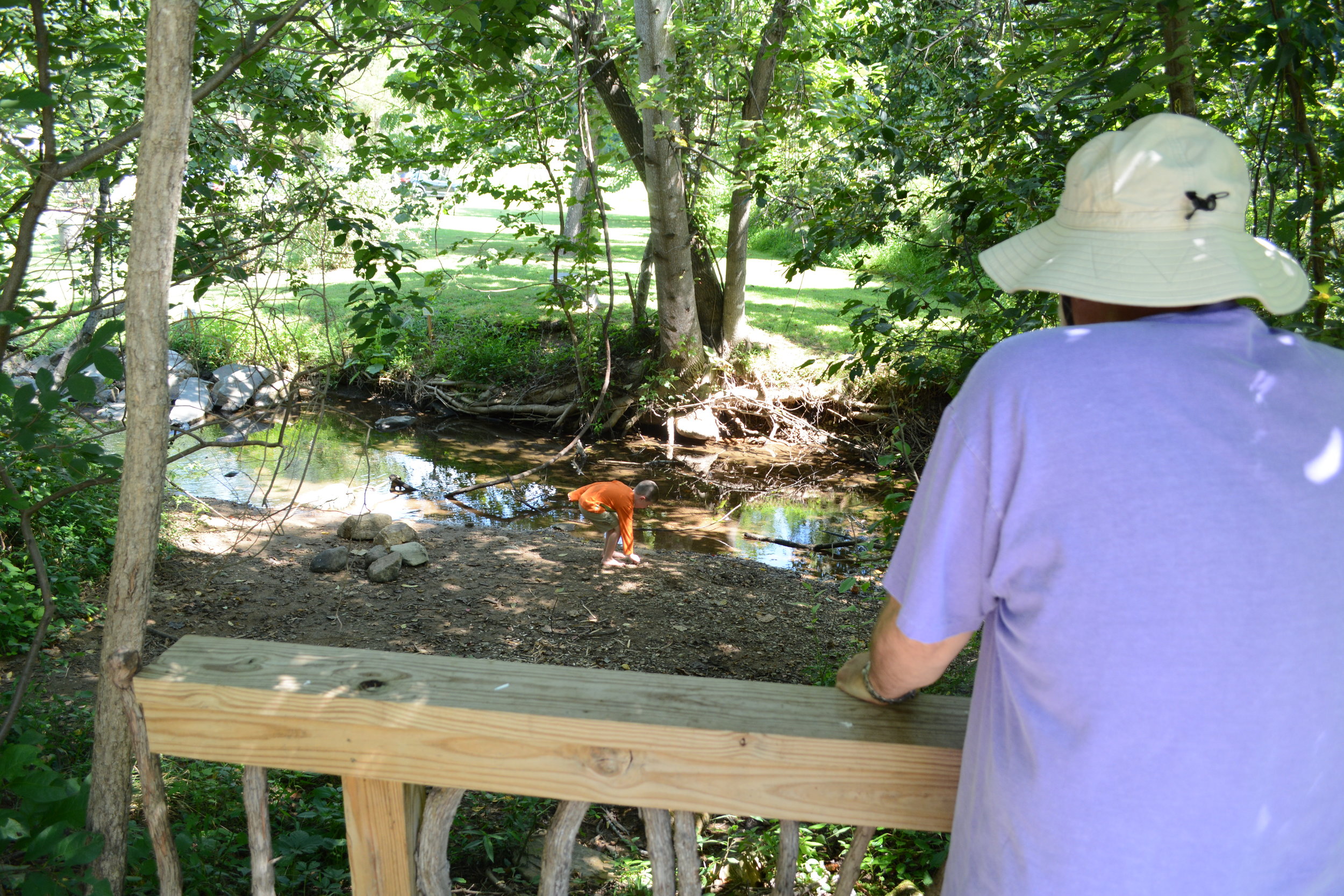
Shamokin Springs Nature Preserve
Distance: 0.3 miles.
Blaze Color: Yellow.
Difficulty Level: EASY.
Key Features: unique area, streams, birding, family favorite.
Google map directions to trailhead
Upper Shamokin Falls Trail and Morgan’s Loop
Distance: 0.4 mile.
Blaze Color: Yellow.
Difficulty Level: MODERATE. Allow plenty of time with strict supervision, not advised for younger tots.
Key Features: waterfall, stream, a family favorite. Morgans Loop offers a return from Upper Shamokin Falls with another view of the waterfall.
Google map directions to trailhead

Trillium Field
Distance: 0.1 mile.
Blaze Color: Yellow.
Difficulty Level: EASY.
Key Features: trillium flowers, informative signage, easy walk.
Google map directions to trailhead
•Trails in Wintergreen’s valley

• Stoney Creek Park
Distance: 1 mile. . Difficulty Level: EASY.
Key Features: paved walk, valley picnic spot, streamside, easy hike. Note: Not a loop trail.
Google map directions to trailhead in Stoney Creek
• Allen Creek Nature Preserve
Distance: .7 miles. Blaze Color: Blue. Difficulty Level: EASY.
Key Features: wetland, rare plants, picnic spots.
Google map directions to trailhead in Stoney Creek
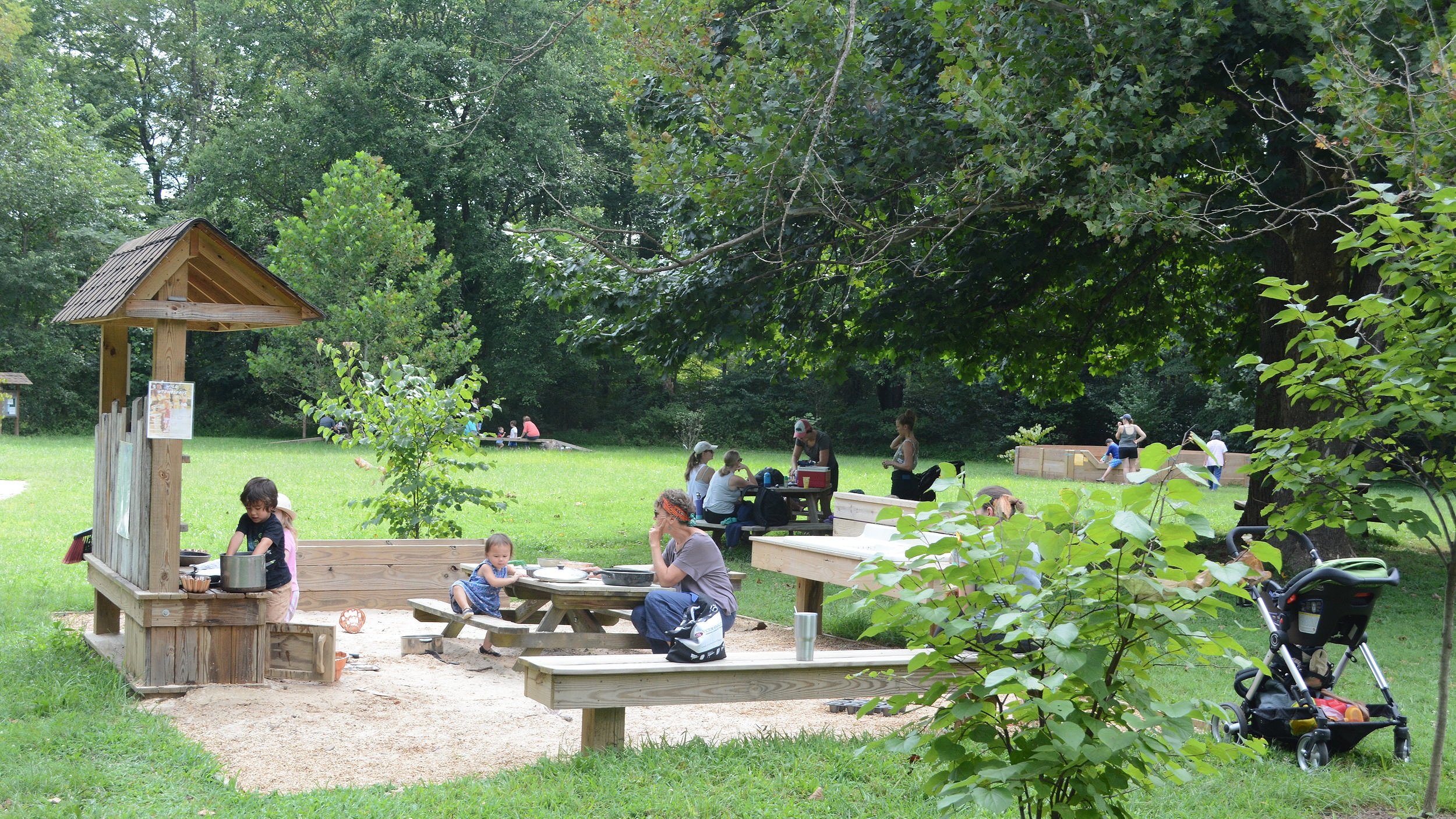
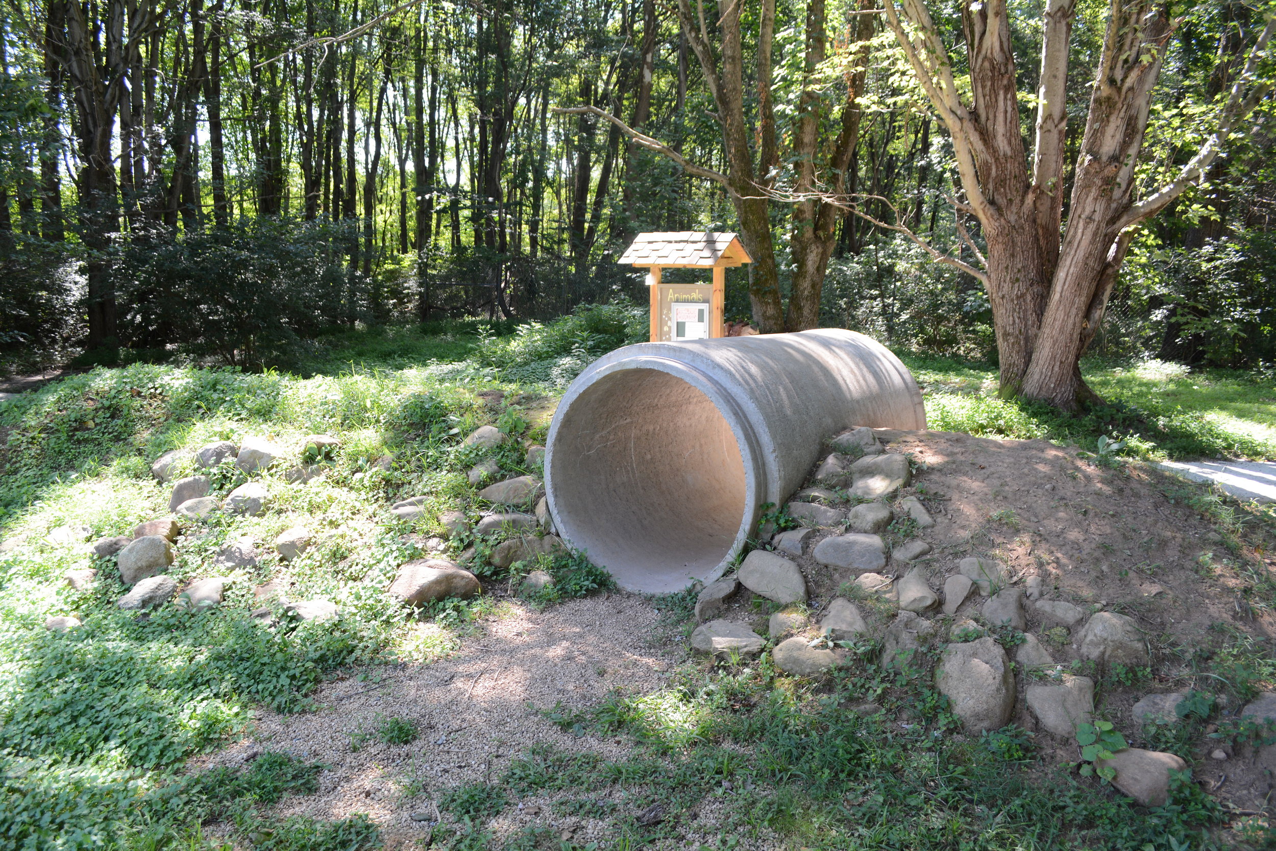
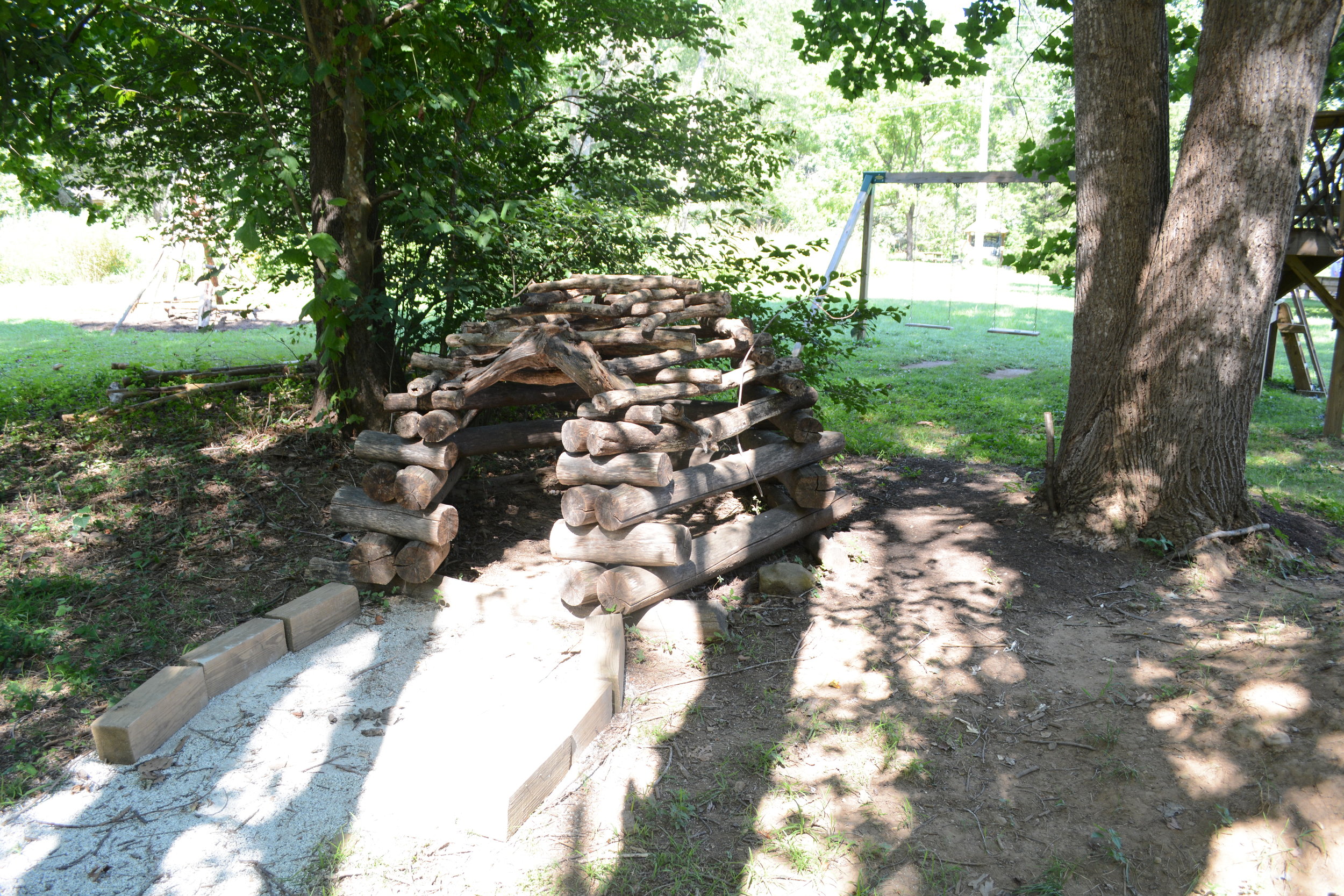
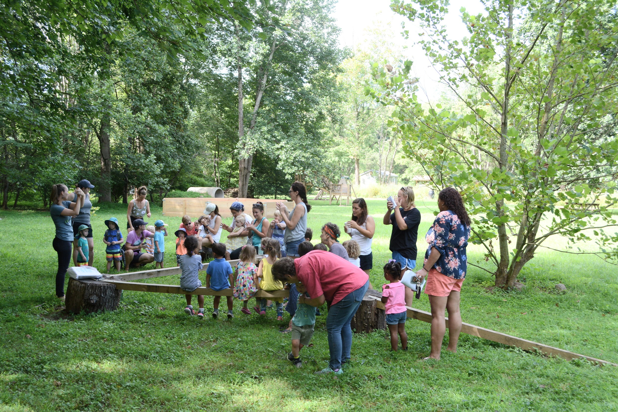
Spruce Creek Park on Route 151
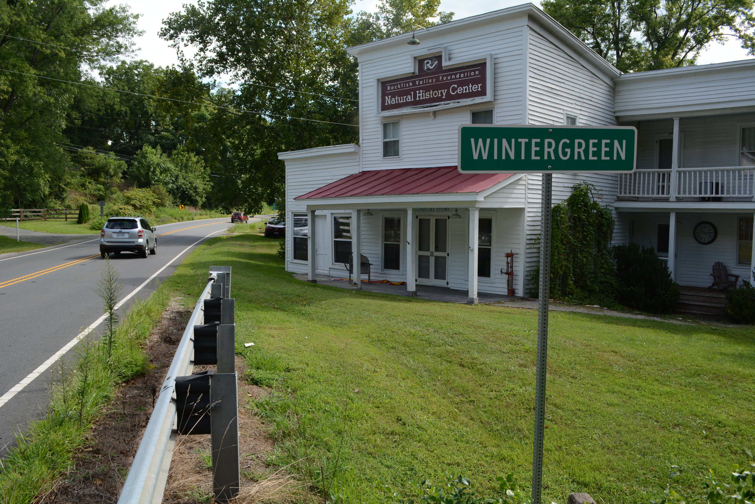
Children and the parenting and grandparenting networks around Wintergreen, Nelson County, and beyond are in agreement: The wooden swing sets made with branches, a huge sandbox pit, large rocks to climb on, a mud kitchen, and (most unique) a creek kids are welcome to play in (and more) that sits behind the Rockfish Valley Foundation’s Natural History Center on Route 151 south of Nellysford is awesome. More here


Wintergreen has over 30 miles of mountain and valley trails,
from extra easy to very challenging
Paper trail maps make for a more safe and enjoyable hike at Wintergreen. Maps are available at Wintergreen Resort's Mountain Inn and the Nature Foundation at Wintergreen.
While Wintergreen is a resort community, know that the many of the mountain and valley trails here–like most trails in the Blue Ridge Mountains–insist on being taken seriously.
It’s wise to have serious footwear as no path is perfect. A serious respect for the wildlife (both big and tiny, plant and animal) is also smart. The weather is a different force among the mountains that deserves extra consideration. Allow plenty of time for your hikes so as to be more safe and to also fully enjoy the trails. Don’t rush. Be alert. Take care when walking in Wintergreen’s wilderness, which starts and ends with your first and last step on any trail.
The best way for people and pets to avoid ticks is to stick to paths or trails that are wide and sunlit, according to the Center for Disease Control.

Go to the interactive Google map of Wintergreen hiking trails here.

Guided hikes are offered by the Nature Foundation at Wintergreen on most Saturdays, with an additional hikes during the fall and summer. Find out more HERE.
You hike at your own risk.
Therefore,…
Be aware that the weather can change rapidly.
Do not hike alone.
Do not underestimate the terrain.
Carry drinking water and a snack.
Be aware of wildlife and respect its space.
Wear proper attire, including footwear.
Carry a hiking map.
Stay on marked trails.
Be aware of your limitations.
Carry a cellphone, but know that coverage is not everywhere.
Most of the trails are open in the winter, but just a little snow and ice can make even easy trails treacherous.
What's that bird?
Check in with the most recent Wintergreen area eBird reports on the links here; click on the name of the bird species on the list to see a photo.
• The Wintergreen Nature Foundation's Trillium House bird sightings
• Spruce Creek Park bird sightings
• more Wintergreen area eBird reports
eBird is the world’s largest biodiversity-related citizen science project, with more than 100 million bird sightings contributed each year by eBirders around the world. Learn more

The Wintergreen Sporting Club’s Hiking group explores hiking opportunities in the central Virginia area. The group’s hikes will vary from easy to challenging, long and short. Learn more.