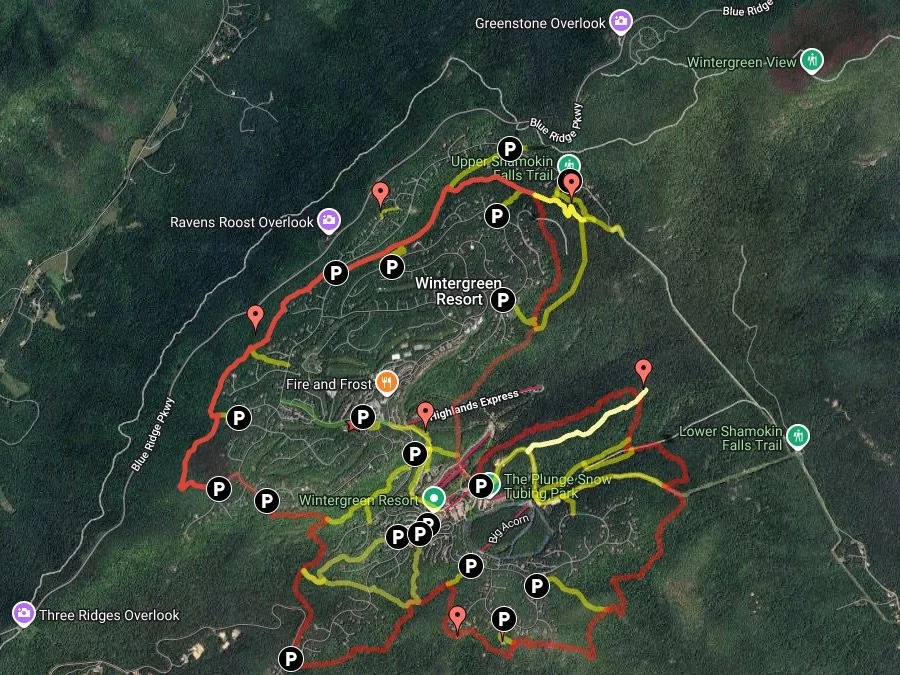
Interactive Map of all Wintergreen Hiking Trails
The resort’s ski slope trail map is HERE
Interactive Wintergreen Trail Map
Interactive Valley Trails
Use the search bar to find trails you’re interested in
Paper trail maps make for a more safe and enjoyable hike at Wintergreen. Maps are available at Wintergreen Resort's Mountain Inn and the Nature Foundation at Wintergreen.
Guided hikes are offered by the Nature Foundation at Wintergreen on most Saturdays, with an additional hikes during the fall and summer. Go HERE.
Wintergreen’s trails are maintained by The Nature Foundation at Wintergreen’s volunteers and staff. Learn more.
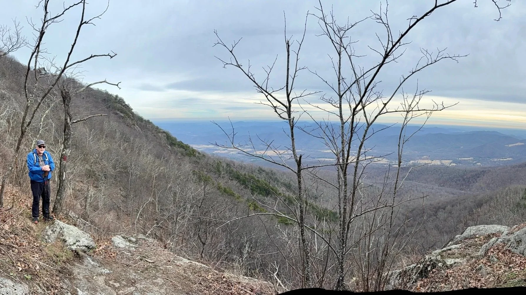
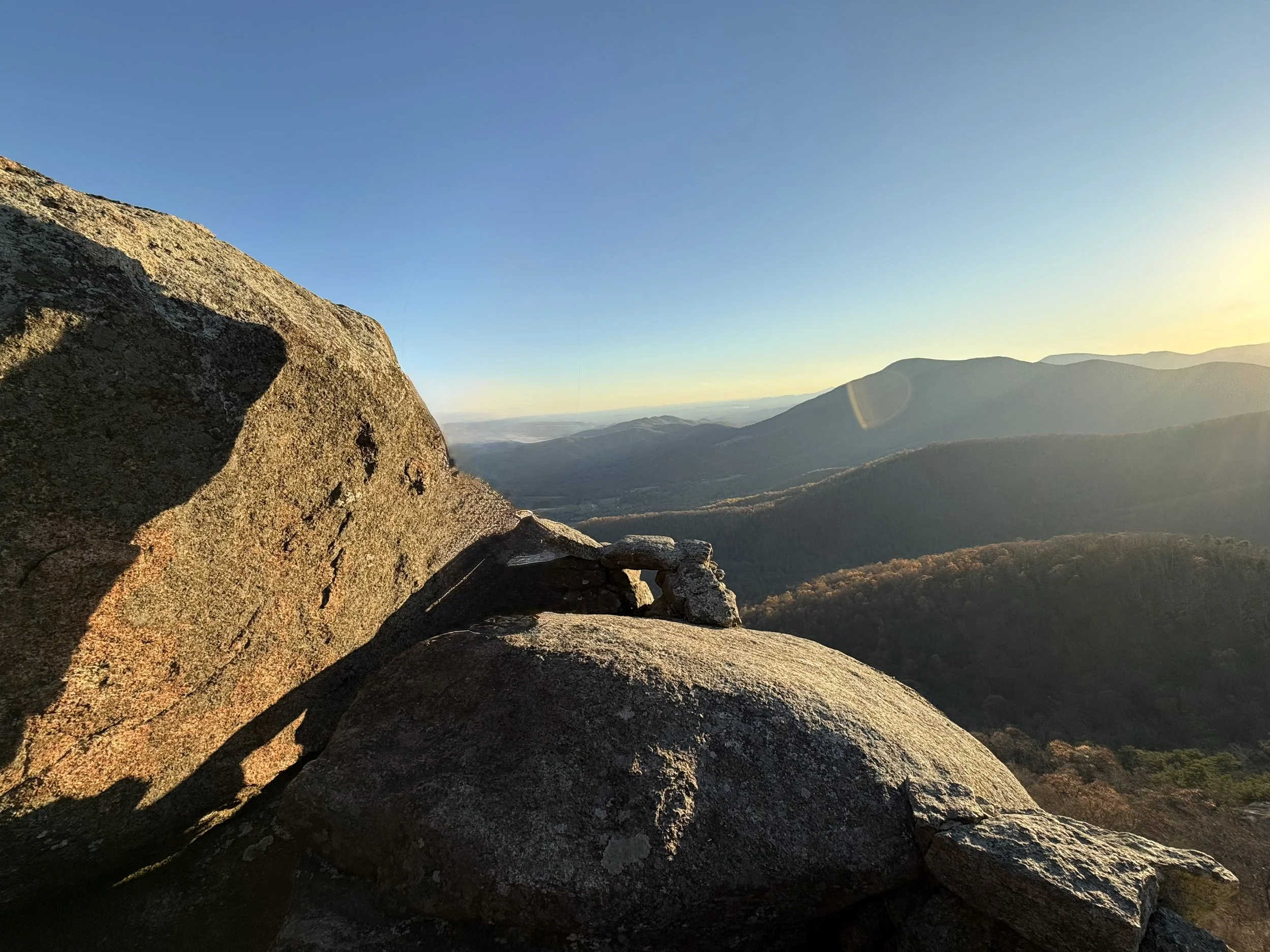
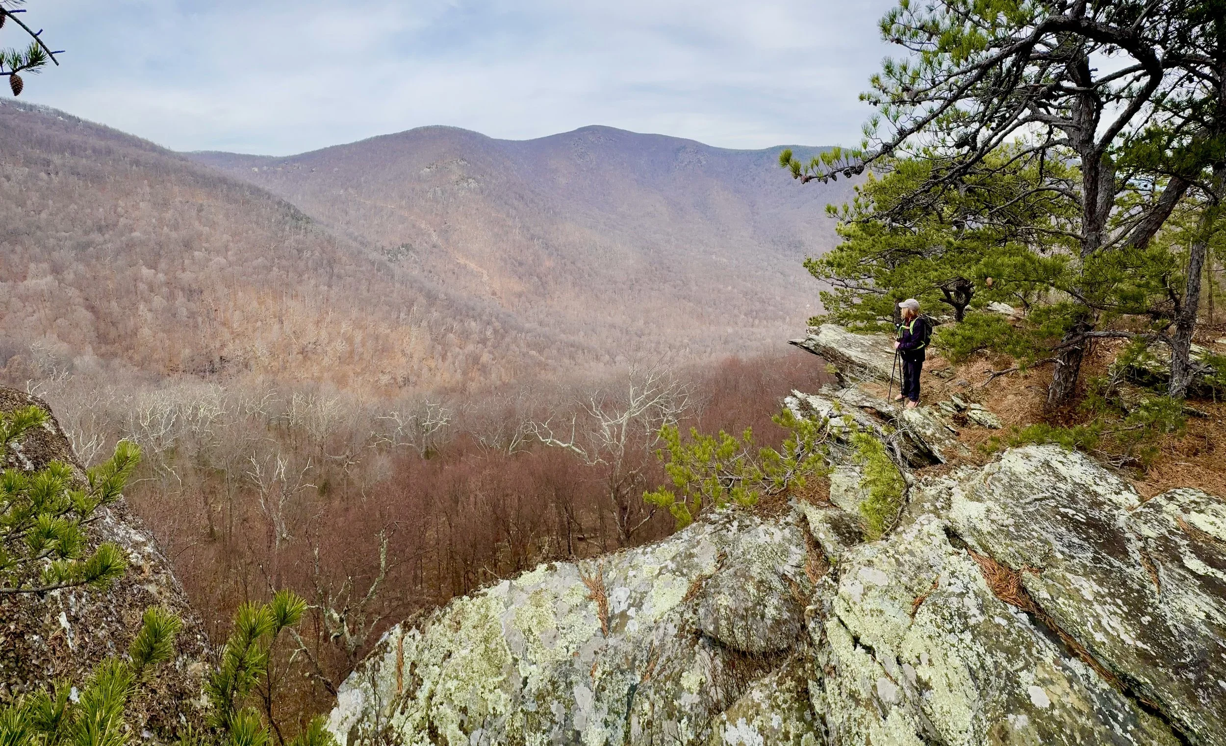
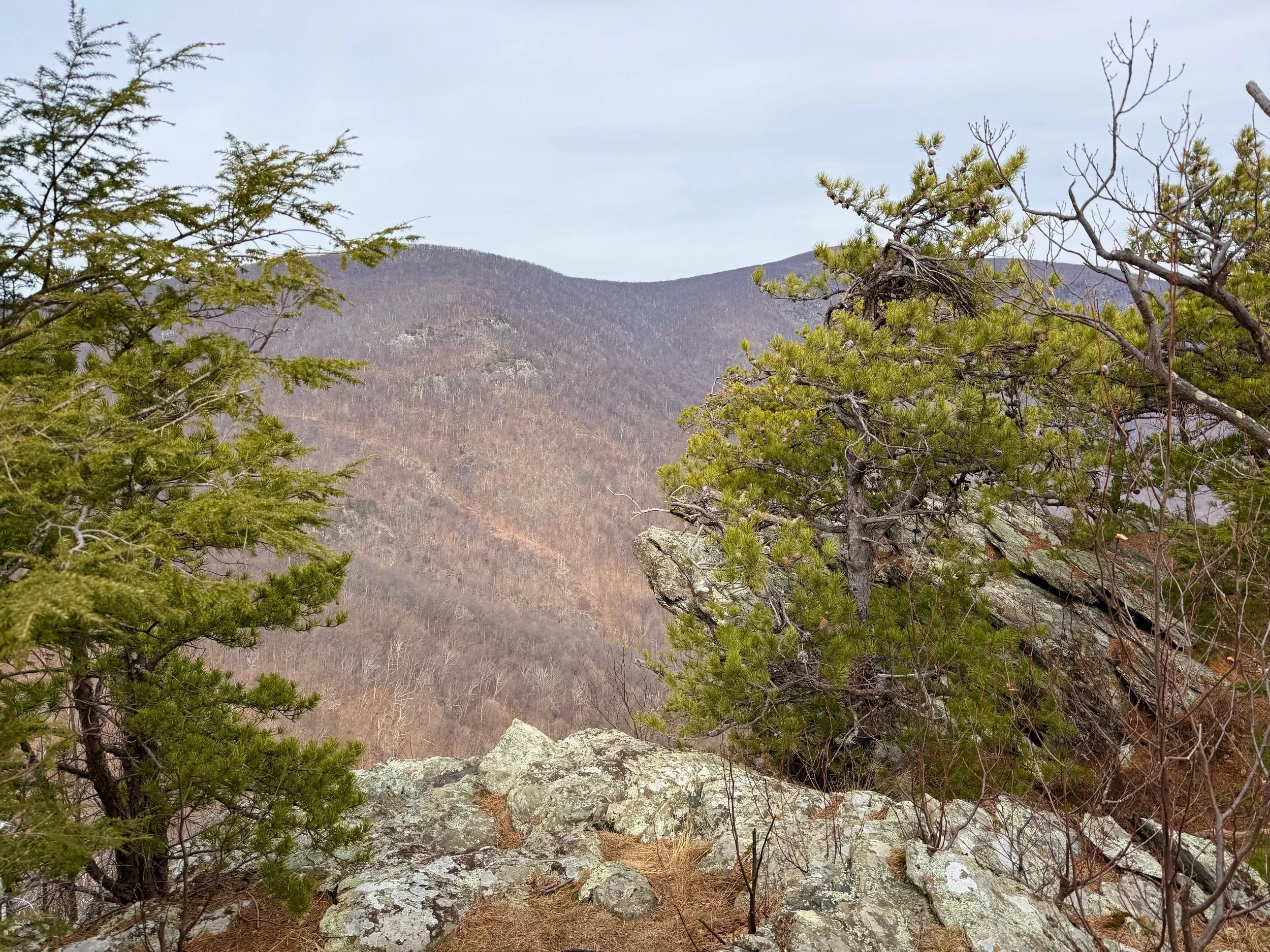
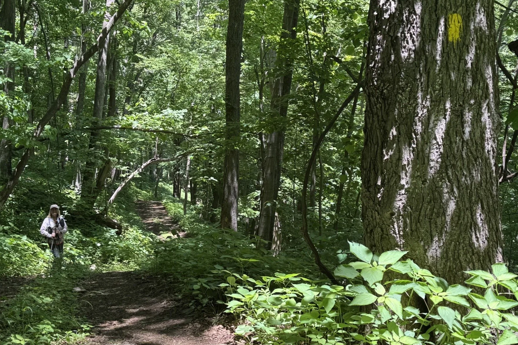
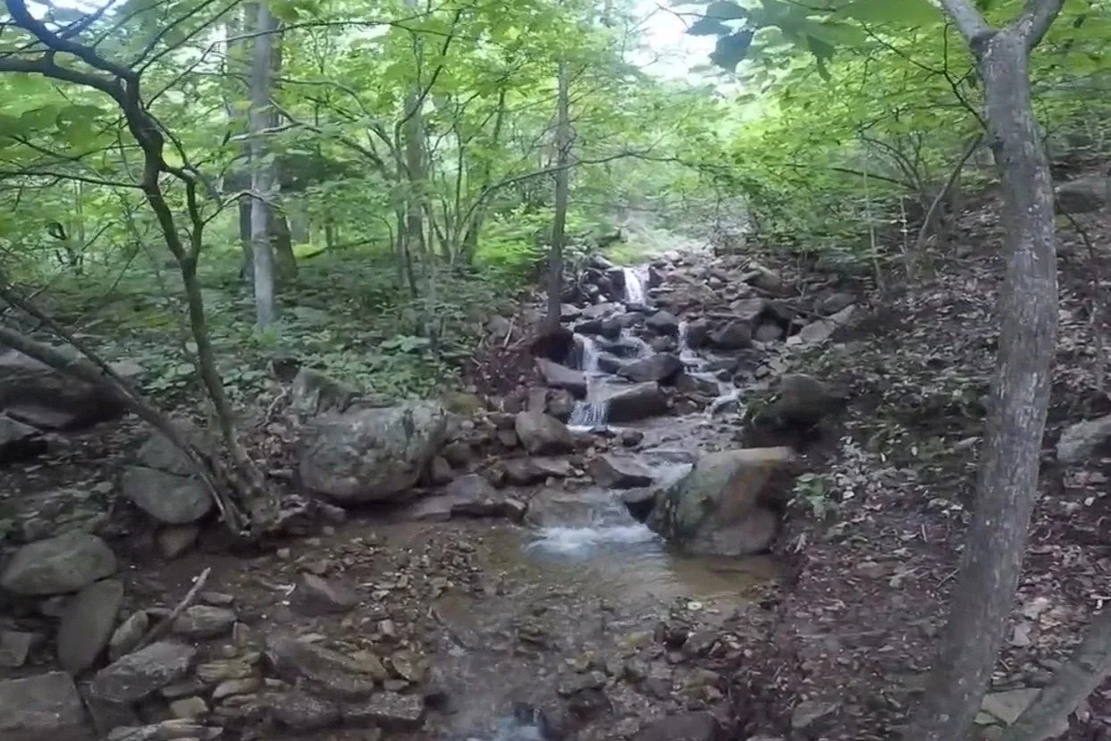
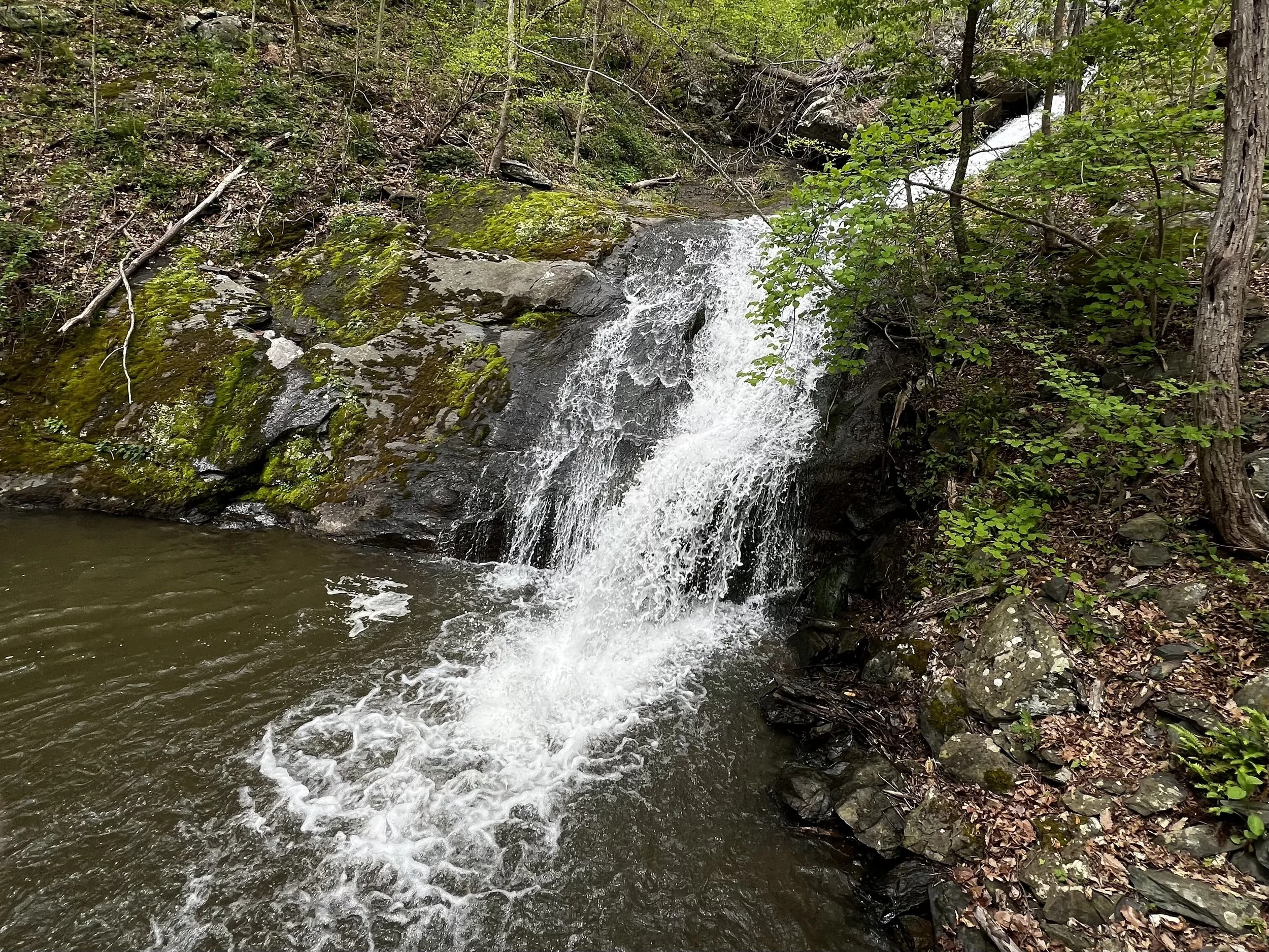
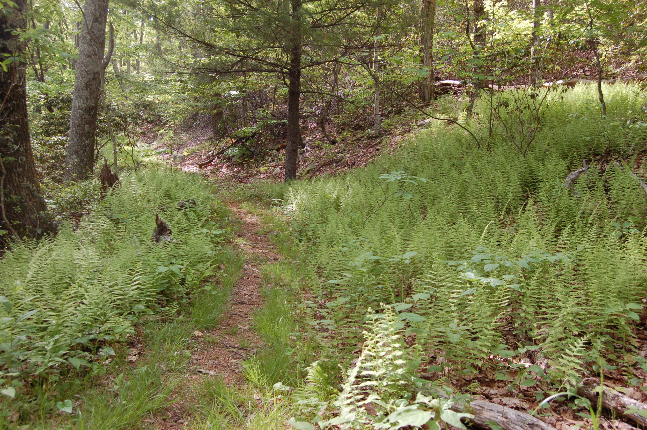
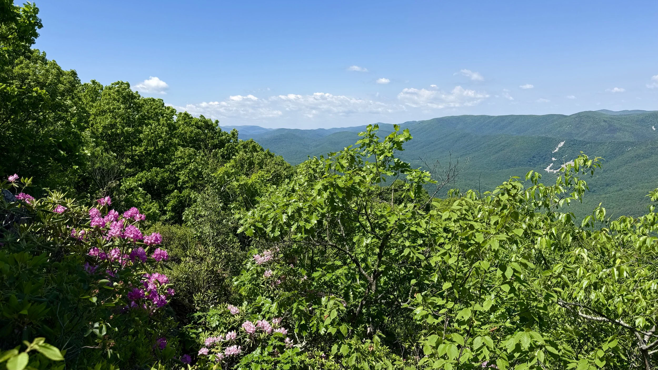
Try these hikes on Wintergreen’s trails
This 3.0-mile loop hike goes through rocky forested trail to spectacular vistas. Blackrock Trail is located on a south-facing slope. Brimstone trail is steep with rocky cliffs which provide incredible views of Three Ridges Mountain and points to the southwest. The trail meanders below the Plunge and consists of a series of steep, short up and down sections.
The 2.0-mile Cedar Cliffs Trail to the scenic vista is an out-and-back hike starting on the maintenance road (Grassy Ridge) which connects with the Cedar Cliff Main Trail. The trail meanders through dense forest cover and ends on a spectacular cliff that overlooks the Shamokin Gorge to the north.
This 2.4-mile loop hike follows the Cedar Cliff North trail to the spectacular view at Cedar Cliff overlook. The trail continues on the Cedar Cliff South trail to the Hemlock Spring trail. This beautiful scenic hike is boulder strewn and provides a beautiful scenic walk.
This is a 2.1-mile loop hike takes you to the beautiful Shamokin Springs Falls. While the overall elevation gain is moderate, there are a few somewhat steep/rocky sections, especially along the falls. The Loggers Alley is a well-graded forested trail, while the Chestnut Springs trail is rocky and steeper.
This 2.5-mile loop trail has forests, streams and a waterfall. Begin the Laurel Springs trail to the Fortunes Ridge loop by starting from Wintergreen Resort’s parking lot F. This hike will send you through an array of forest types, including mountain laurel thickets, yellow birch, hemlock remains, and oak hickory forest.
This 3.4-mile out-and-back hike begins on a jeep trail and then meanders through dense forest cover. The end of the trail is located at the base of a cascading waterfall that begins just below the Upper Shamokin Falls Trail.
This 0.4-mile out-and-back trail is an excellent introduction to the beauty and natural history of the area. The trail consists of steep rock scrambles and rocky steps that lead to a spectacular view.
This 2.1-mile out and back hike goes to a spectacular vista on the Old AT. The hike starts at the Shamokin Springs trail and continues on the Old Appalachian Trail. This trail is a beautiful, forested walk with some short rocky sections.
This 2.8-mile route follows the Old Appalachian Trail to Shamokin Falls. This waterfall flows year-round but is best visited after it has recently rained. The trail can be very rocky and muddy in spots, so good hiking footwear is recommended. There are a few spots where bog boards are in place to help navigate through areas that are often wet.
Upper Shamokin Falls with the Morgan Loop (0.8-miles) is one of the most popular and beautiful hikes on Wintergreen’s mountain. Follow the sound of falling water to the falls and be sure to stop and look around at the evergreen ferns and wildflowers.
The Nature Preserve is one of the most unique environments on the mountain. The high elevation wetland and braided streams allow northern tree species like birches and American beech to thrive. The preserve also provides habitat for numerous fern, wildflower, and bird species.
The 12-mile Wintergreen Loop hike encircles Wintergreen Resort (also referred to as Potatopatch Mountain). This hike is extremely challenging using multiple Wintergreen trails. Highlights include stunning views, waterfalls, and beautiful mountain laurel blooms. Challenges consist of steep, rocky sections and slippery spots. Good footwear and a map are essential.
