Distance: 0.8 miles.
Difficulty Level: moderate. 🟦
Elevation Gain: 272 ft.
Time: 1 -1.5 hours.
Blaze Color: yellow.
Key Features: waterfalls, hiking, wildflowers, rocky, forest, loop hike
Access: There is on-street parking at the trailhead near 2070 Laurel Springs Drive.
Google Maps directions to parking area.
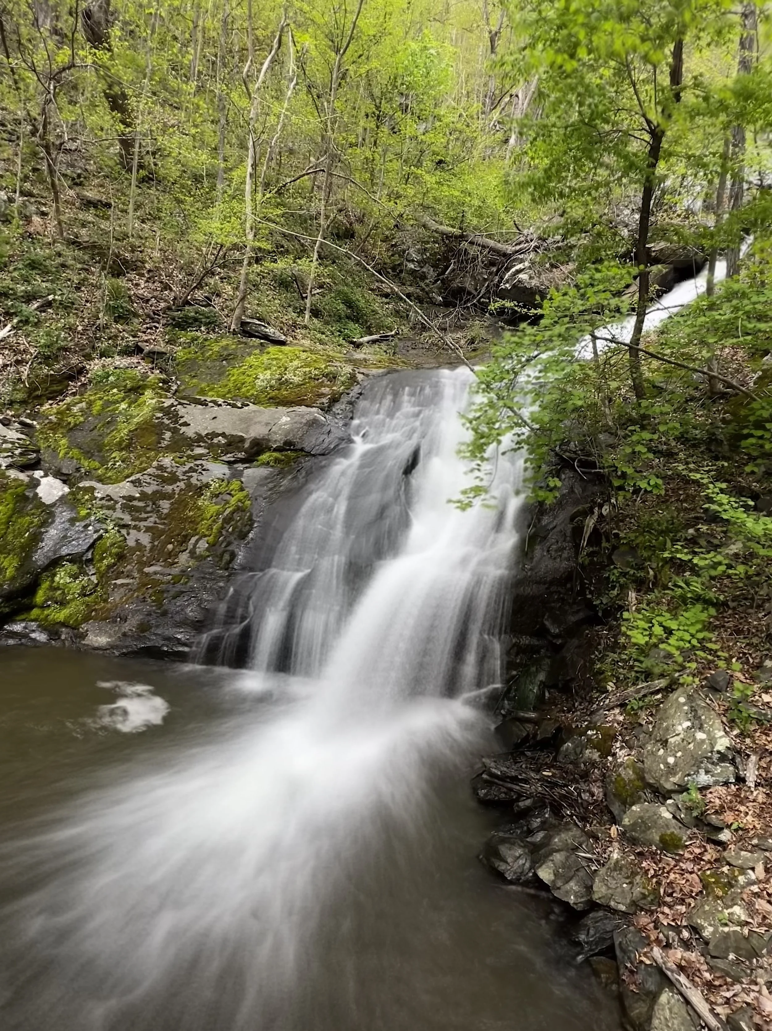
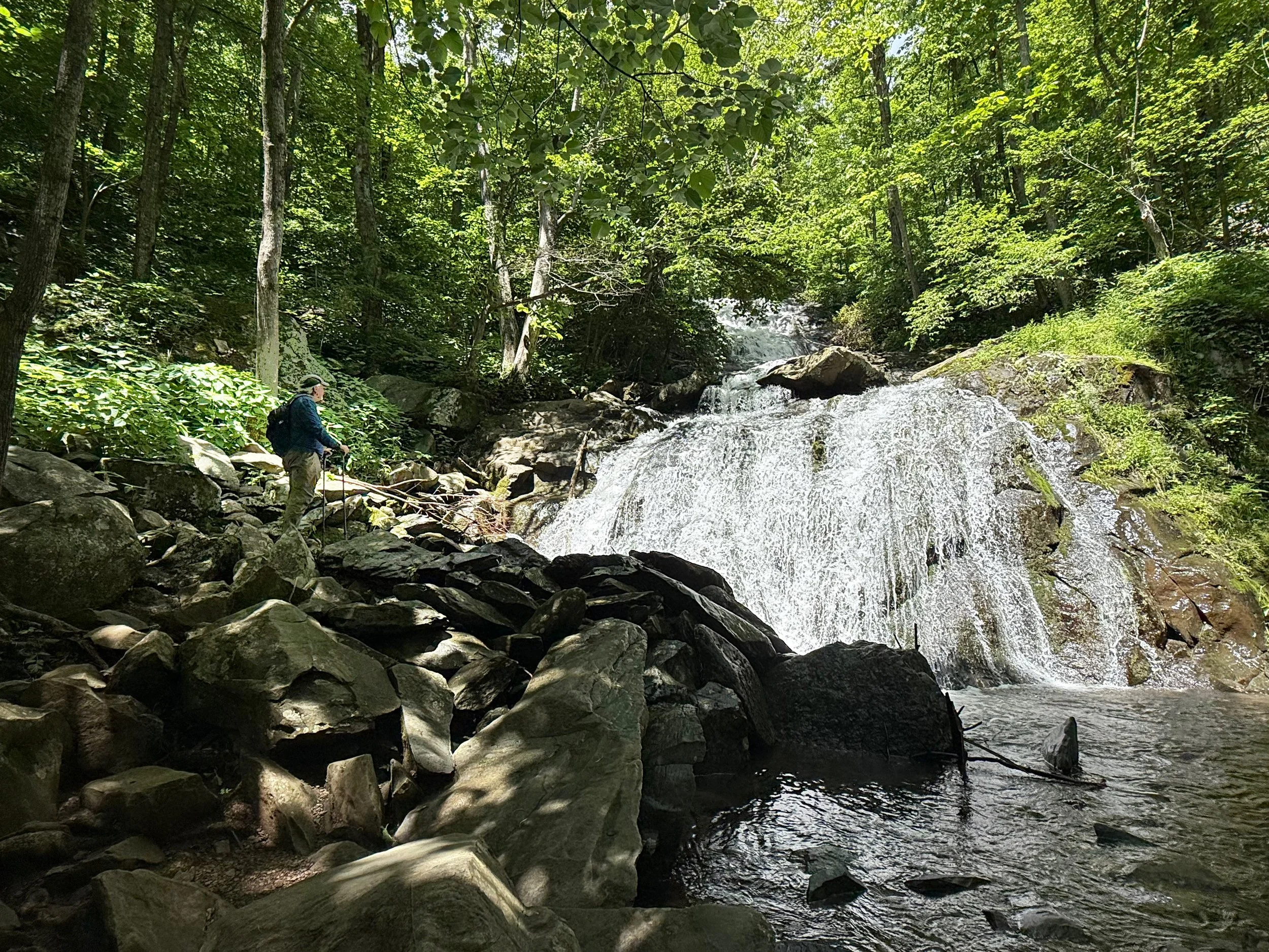
Upper Shamokin Falls with the Morgan Loop is one of the most popular and beautiful hikes on Wintergreen’s mountain. Follow the sound of falling water to the falls and be sure to stop and look around at the evergreen ferns and wildflowers. Don’t forget your camera on this hike for the entire family.
From the Laurel Springs Connector Trail, turn left on the Upper Shamokin Falls Trail, and hike 1/4 mile to the fall. If you return at this point, the total hike will be 0.6 miles. Otherwise, continue on the trail and turn left at the Loggers Alley Trail and then left on Morgan’s Loop to make the loop trail. The hike is steep and rocky.
Please refrain from climbing on the edges of the falls, as the rocks are slippery when wet. Use caution in the winter.