Distance: 2.8 miles.
Difficulty Level: moderate to difficult. ◆
Time: 1.5 to 2 hours.
Elevation Gain: 710 ft.
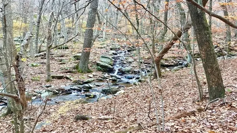
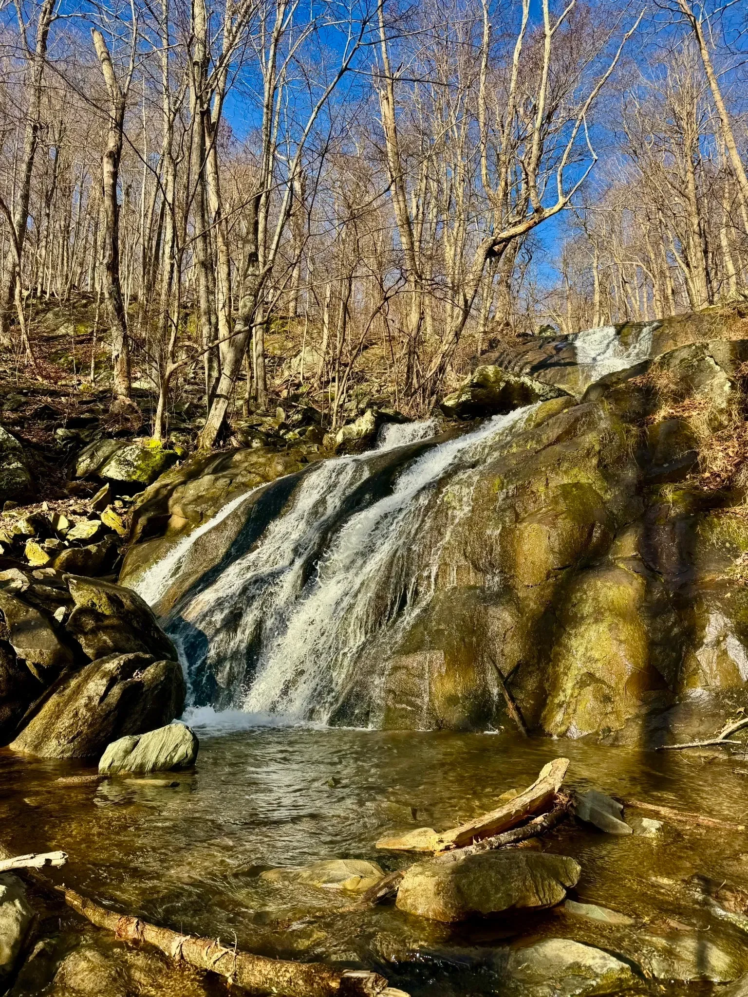
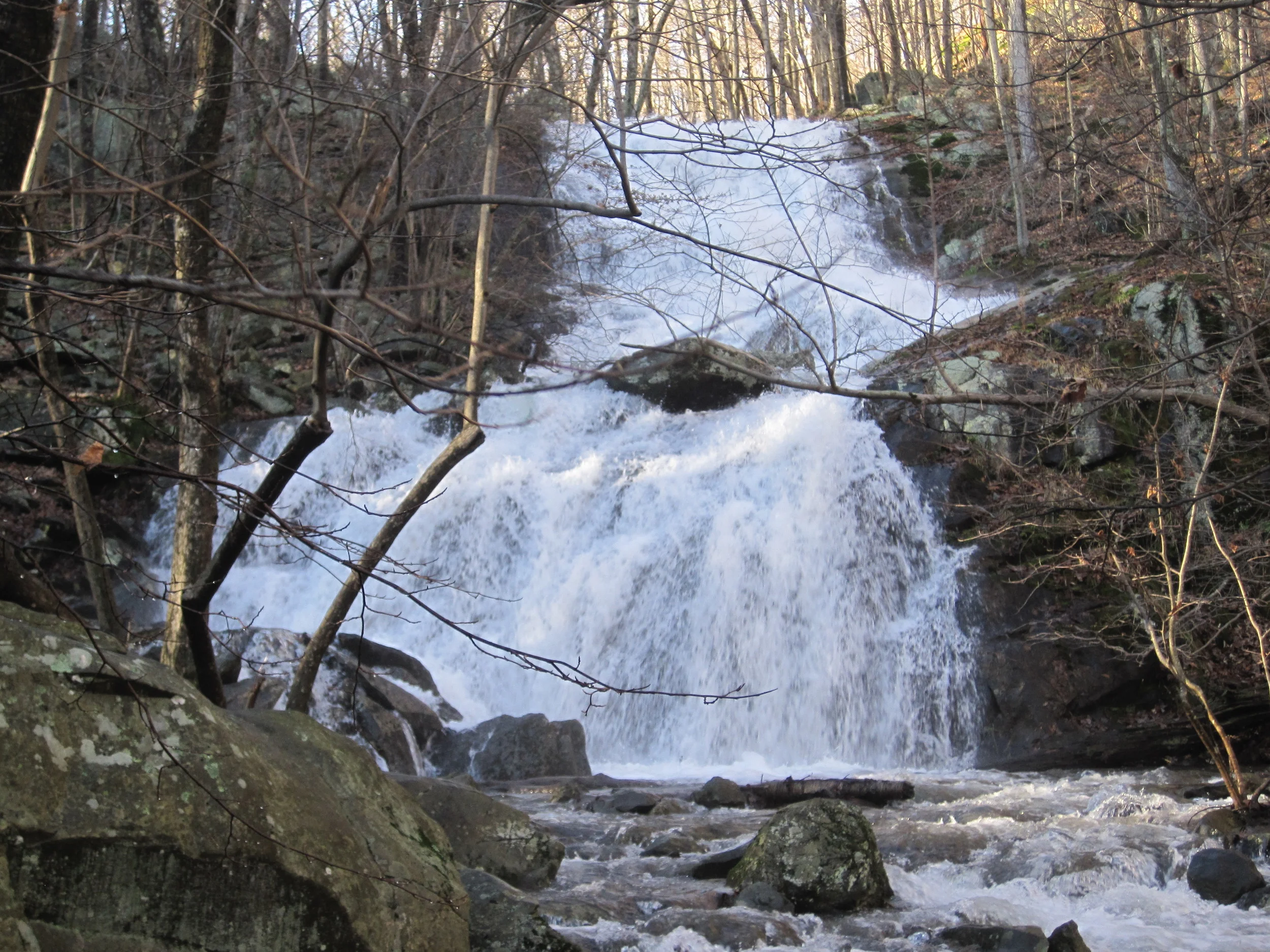
Key Features: streams, waterfall, wildflowers.
Blaze Color: yellow/red
Access: The trail can be accessed from on-street parking on Laurel Springs Road. Note: it can also be accessed via the Shamokin Springs Nature trail parking lot.
Google Maps directions to parking area.
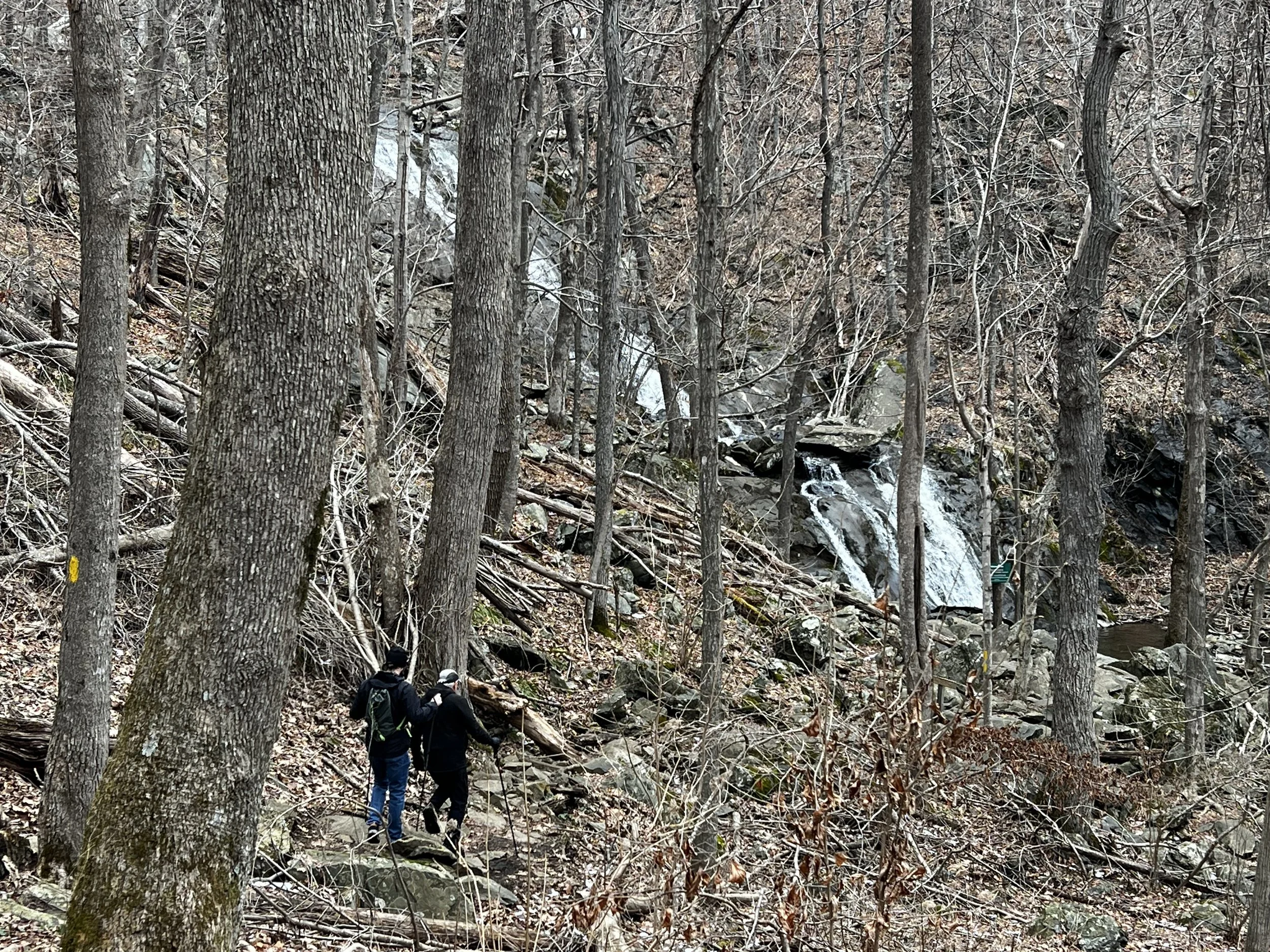
This out and back route follows the Old AT (Appalachian Trail) to Upper Shamokin Gorge Trail and Upper Shamokin Falls Trail. This waterfall flows year-round but is best visited after a recent rain.
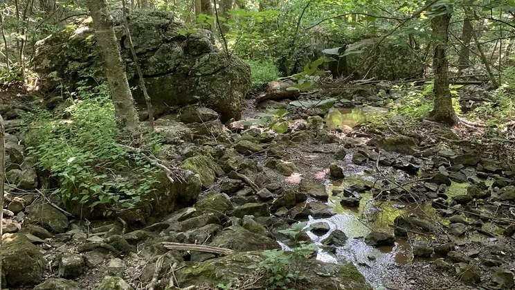
The trail can be very rocky and muddy in spots, so good hiking footwear is recommended. There are a few spots where bog boards are in place to help navigate through areas that are often wet.
This route is mostly moderate, although there are some difficult areas on the Upper Shamokin Gorge Trail.