Distance: 2.1 miles.
Difficulty Level: moderate. 🟦
Time: 1.5 hours.
Elevation Change: 330 ft.
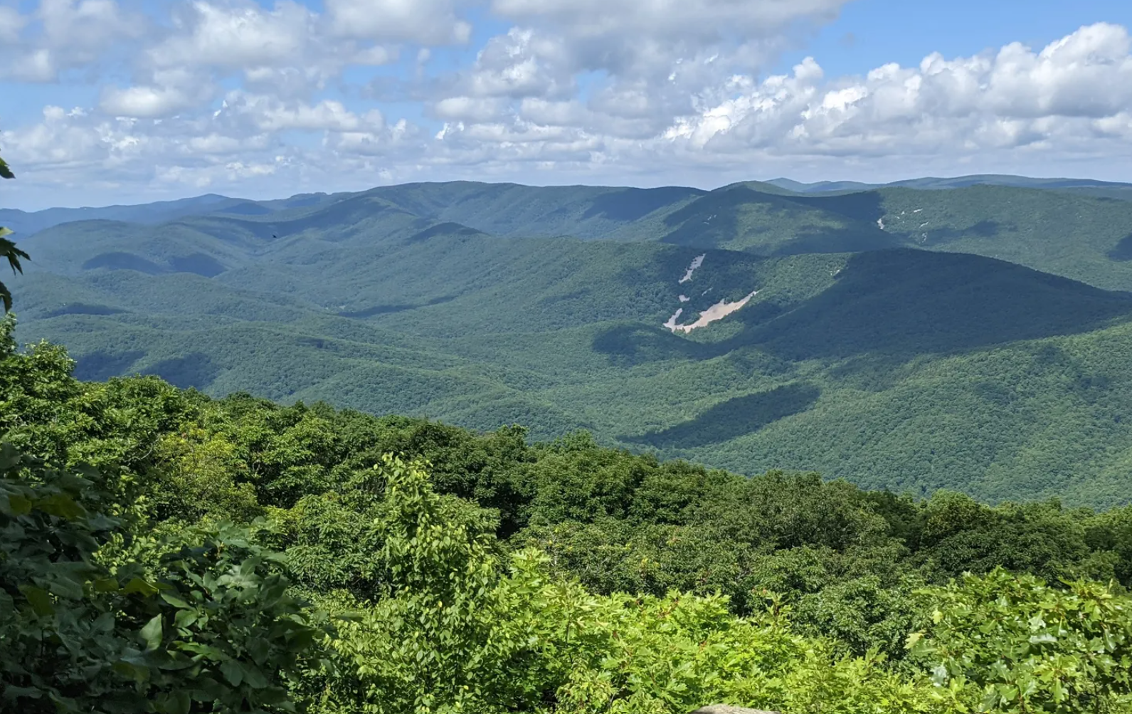
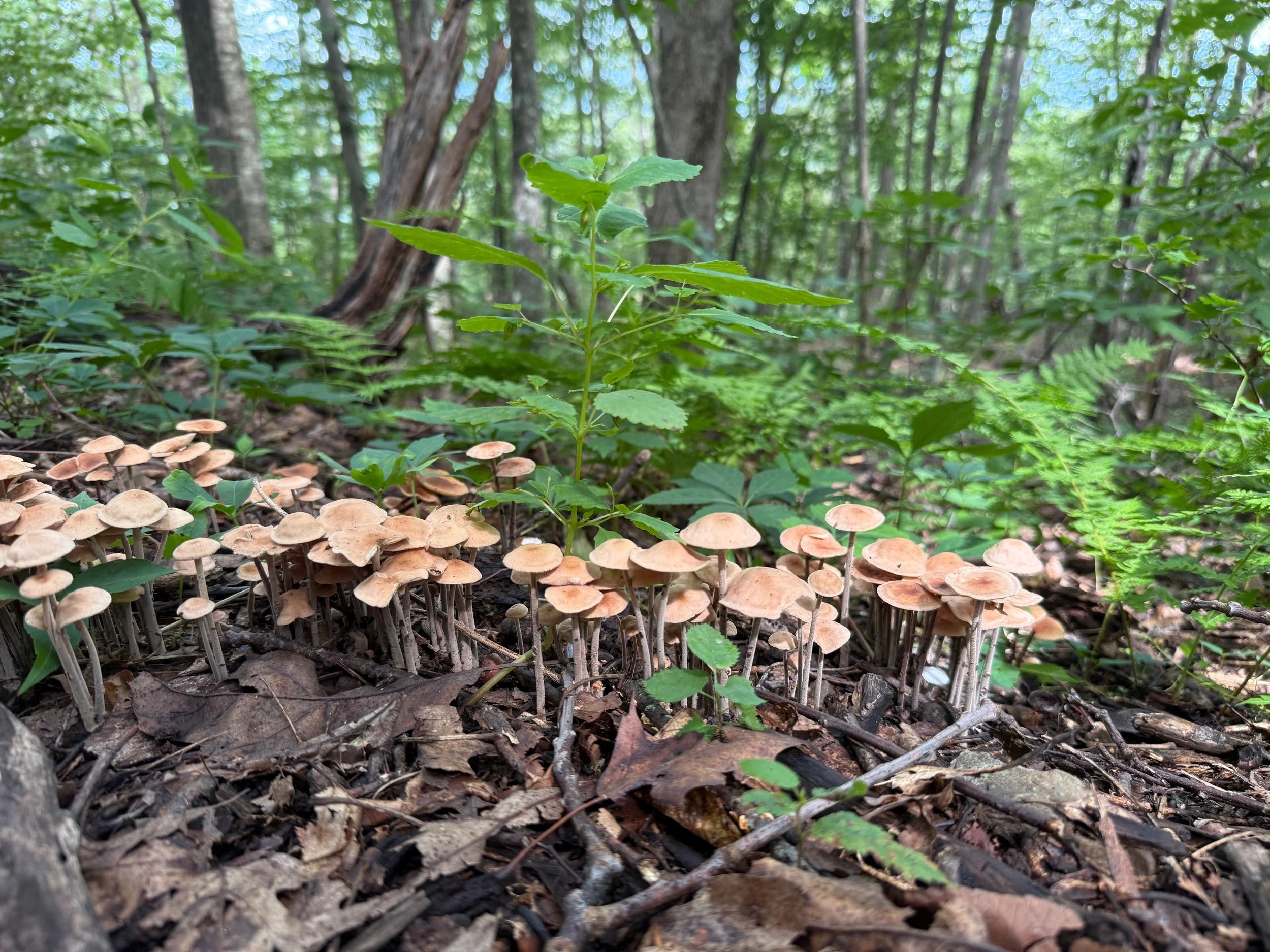
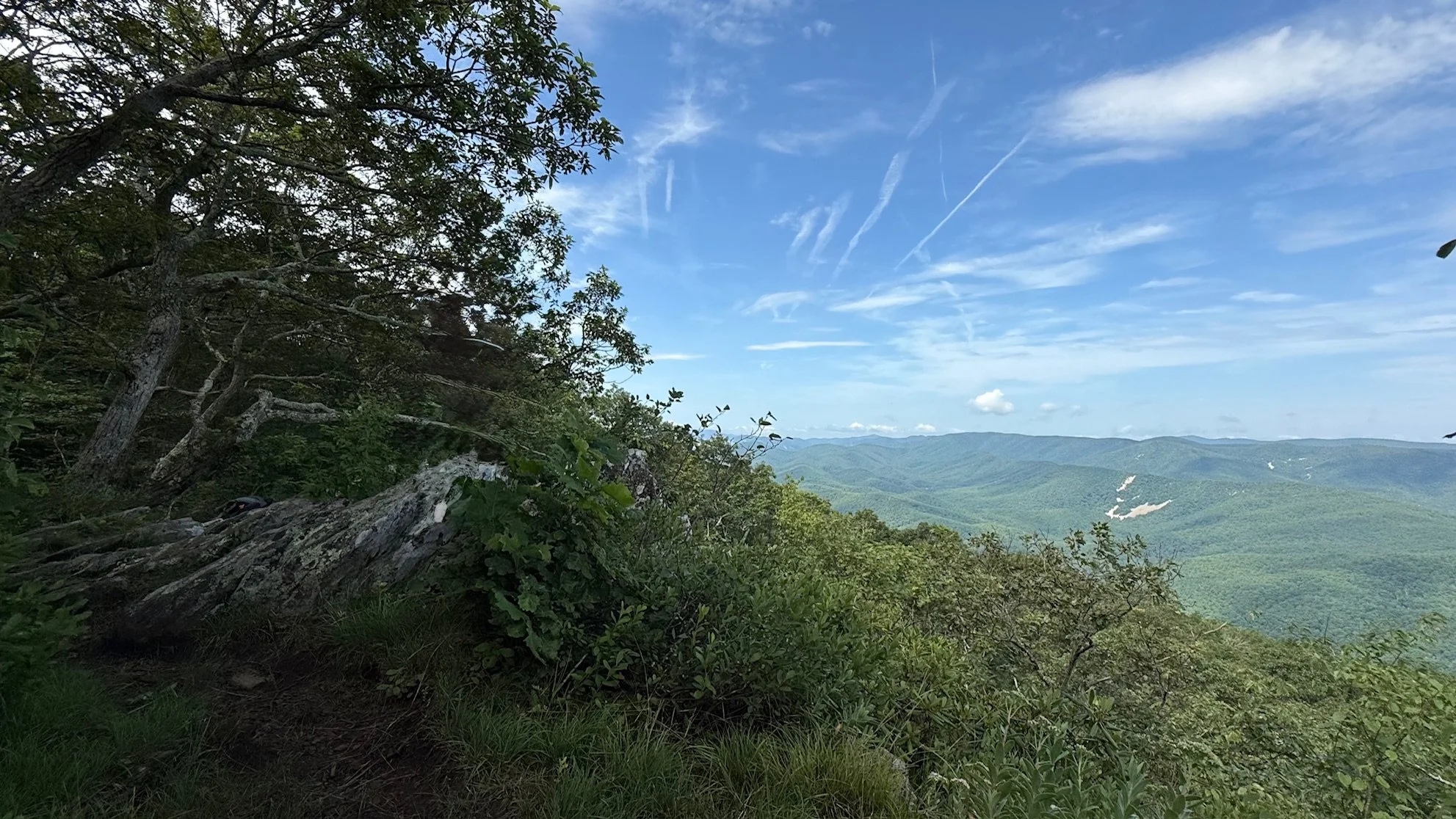
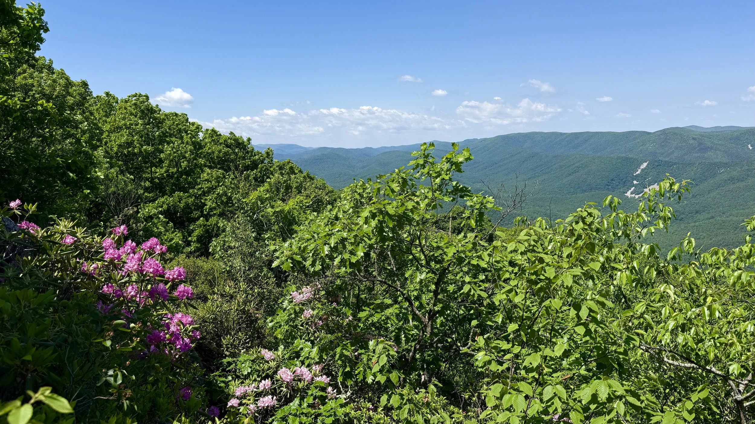
Key Features: scenic view, streams, wildflowers.
Blaze Color: red/yellow.
Access: The trail can be accessed from a small parking lot (4-6) located at the corner of Blue Ridge Drive and Shamokin Springs Road.
Google Maps directions to parking area.
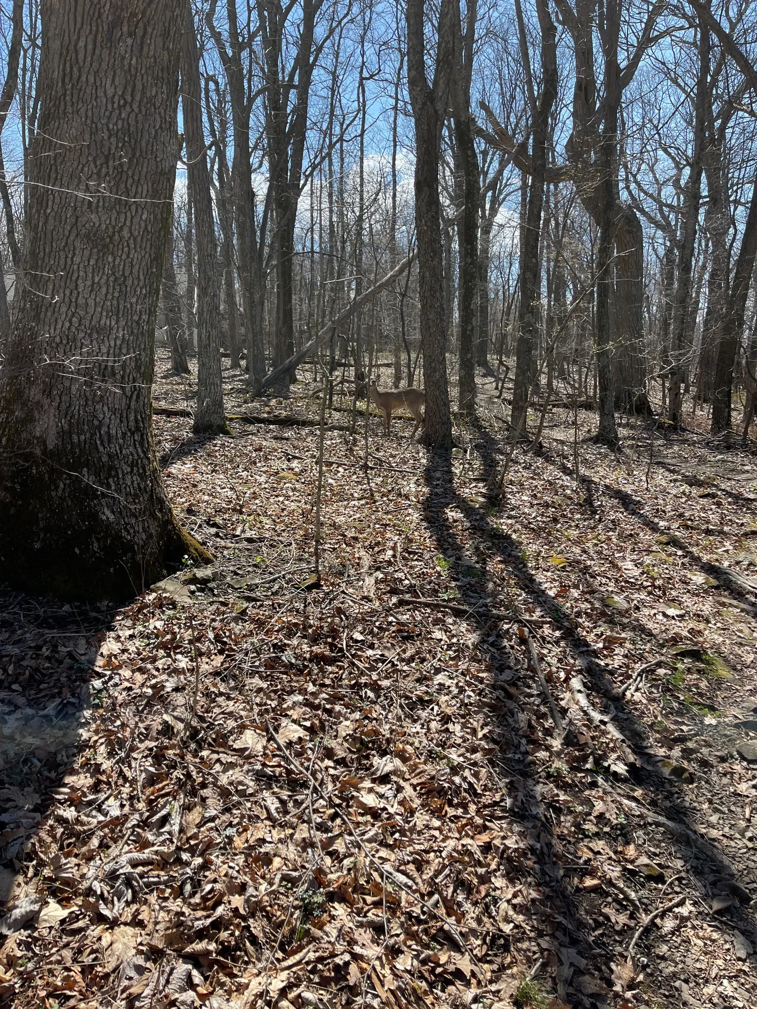
The trail is mostly a nicely graded forested trail with some short rocky sections. Thhis out-and-back hike starts at the Shamokin Springs Trail which intersects the Old AT (Appalachian Trail); turn left (south) on the Old AT.
Continue on the Old Appalachian Trail for approximately 0.9 miles to the viewpoint (near the Laurel Springs Access).