Distance: 13 miles.
Difficulty Level: most difficult. ◆◆
Time: 7 - 10 hours.
Elevation Change: 3,400 ft.
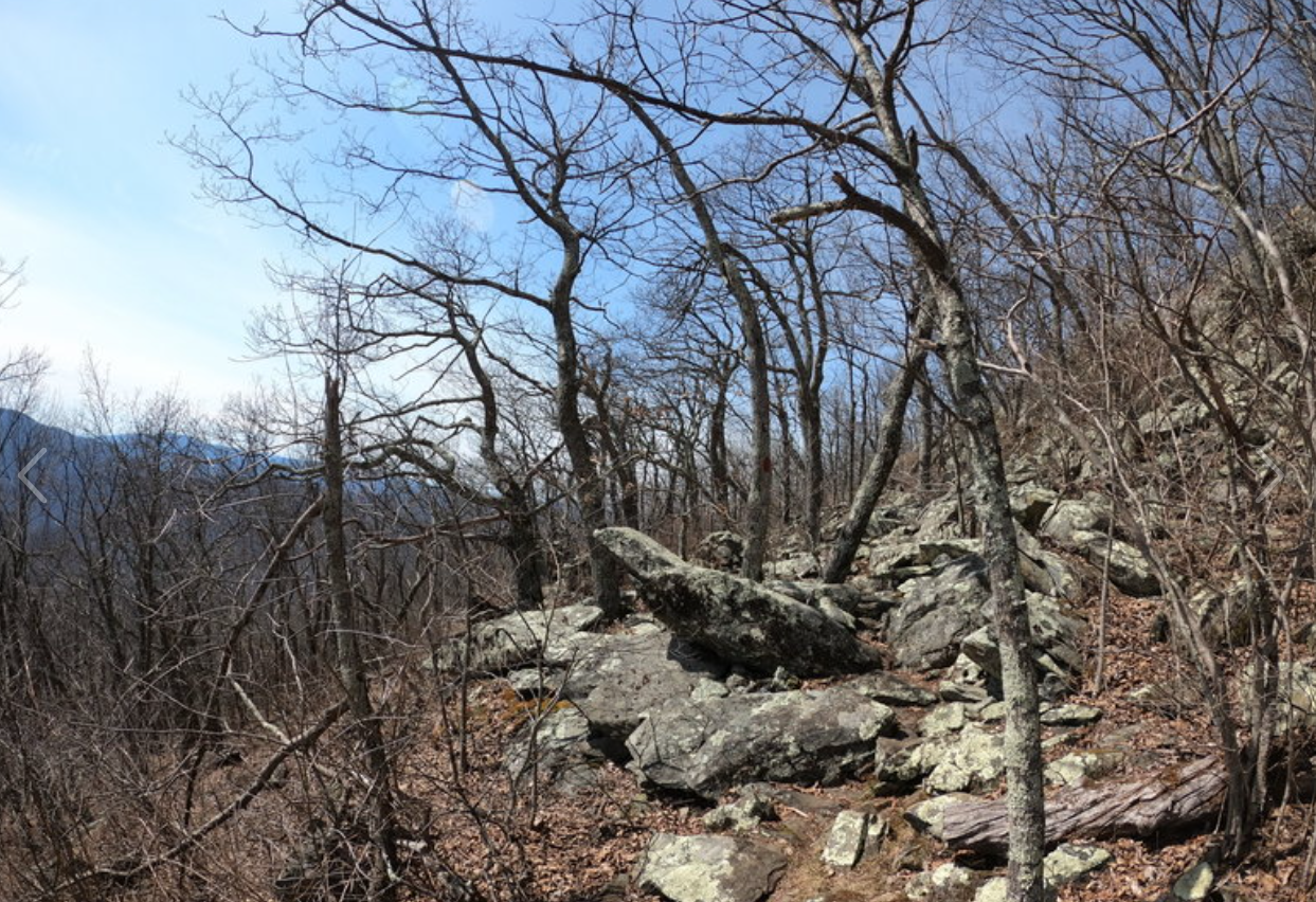
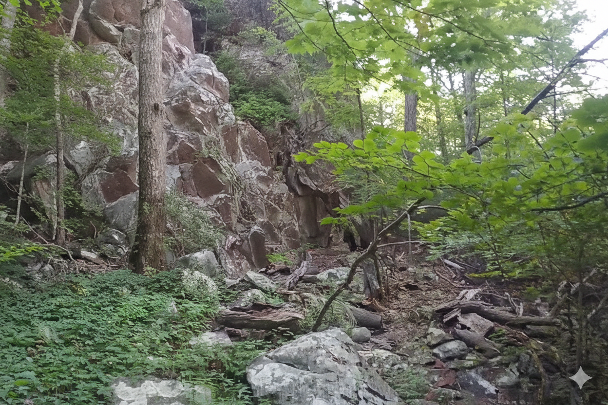
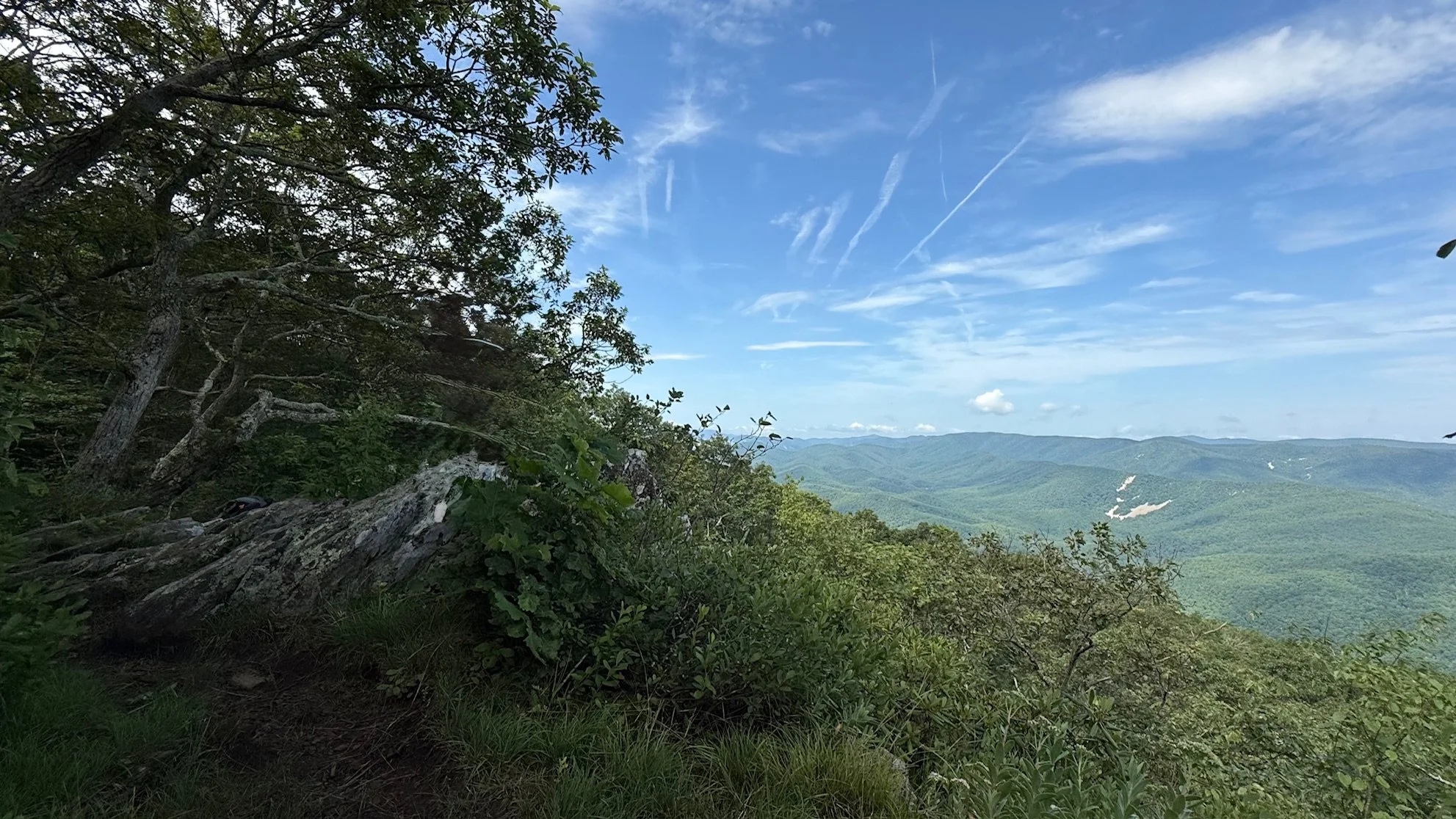
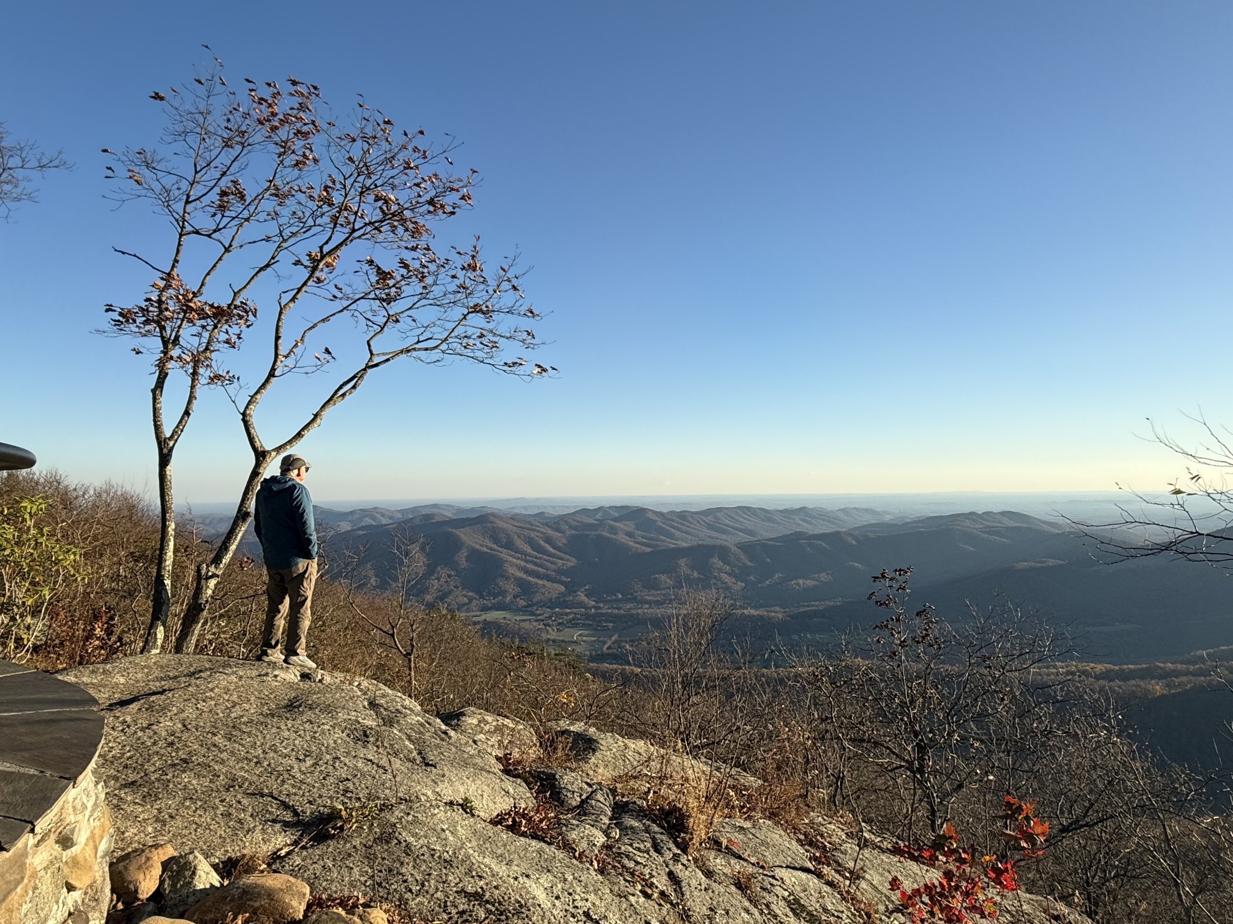
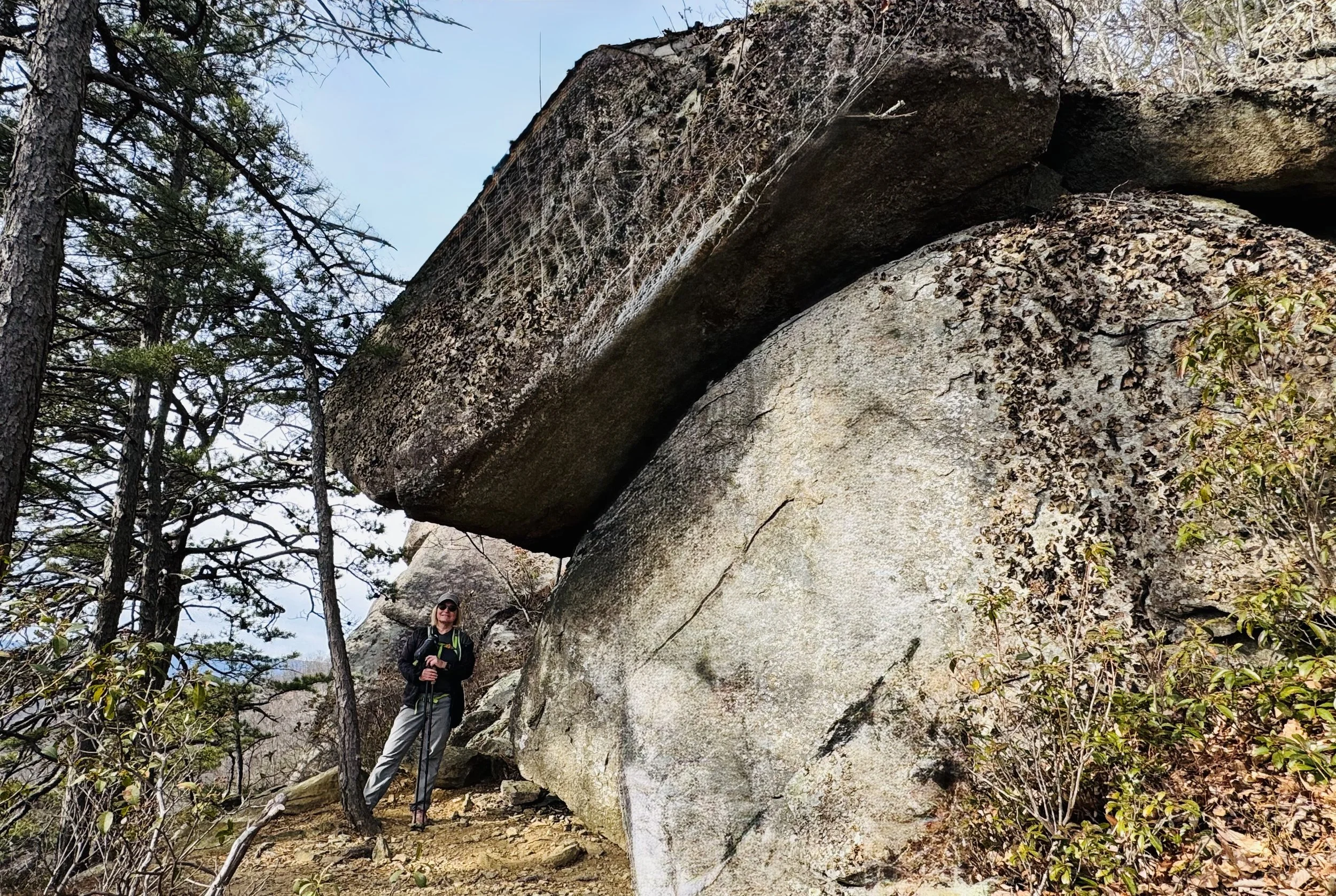
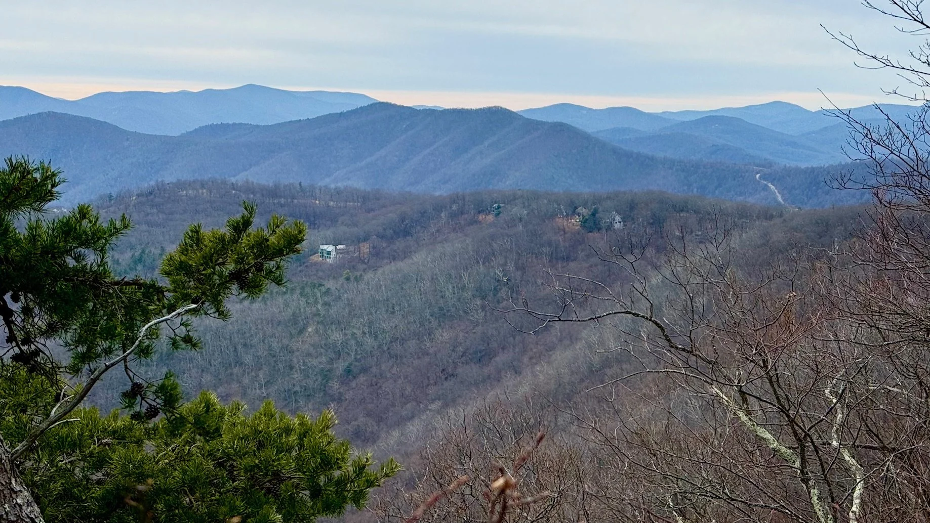
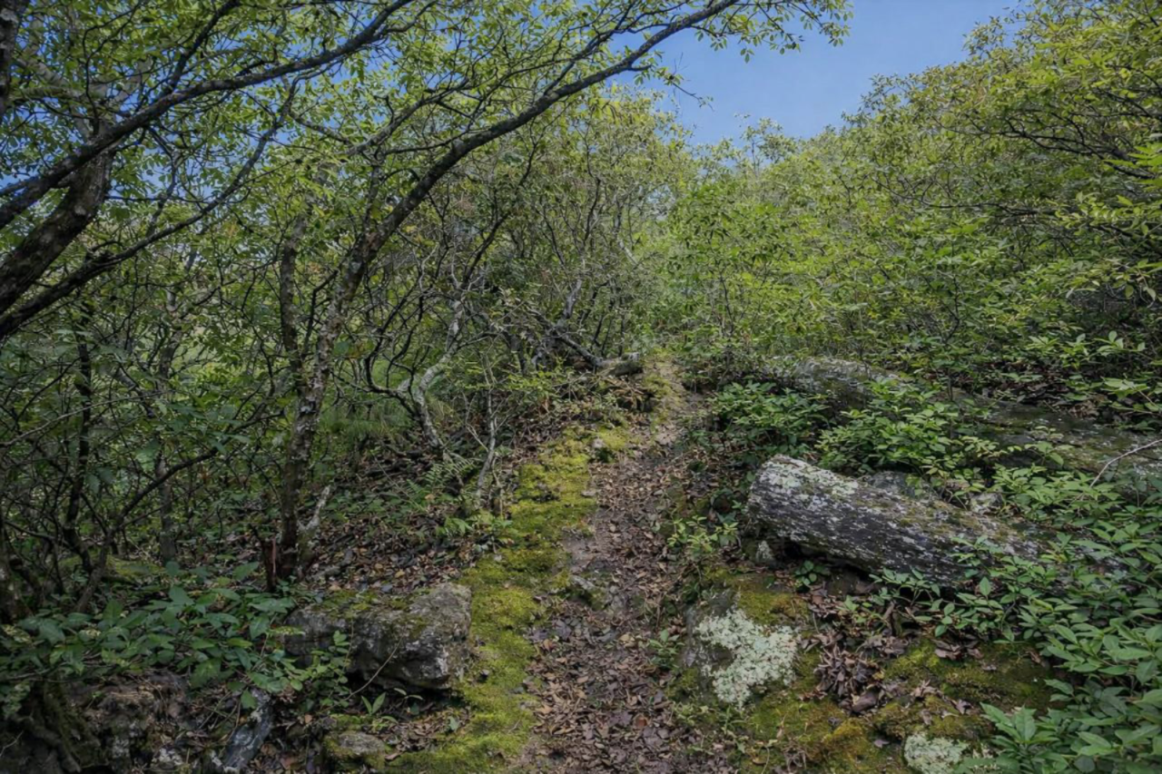
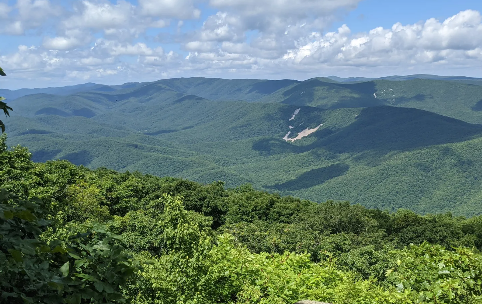
Key Features: scenic views, rocky, scrambles, wildflowers, waterfalls.
Blaze Color: red/yellow
Access: This hike starts at the Old AT trailhead on Laurel Springs Road.
Google Maps directions to parking area.
This trail has numerous access points around Wintergreen.
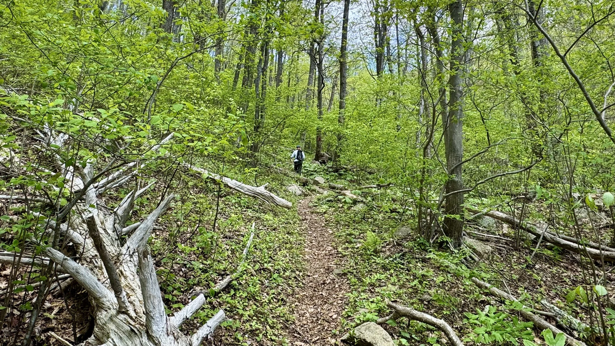
The Wintergreen Loop hike encircles Wintergreen Mountain (also referred to as Potatopatch Mountain). This long hike is extremely challenging and uses multiple Wintergreen trails. Highlights include stunning views, waterfalls, and beautiful mountain laurel blooms. Challenges consist of steep, rocky sections and slippery spots. Good footwear and a map are essential.
Parts of the trail are closed in the winter during ski season.