Distance: 0.3 miles (one way).
Difficulty Level: moderate. 🟦
Time: 0.5 hours.
Elevation Change: 180 ft.
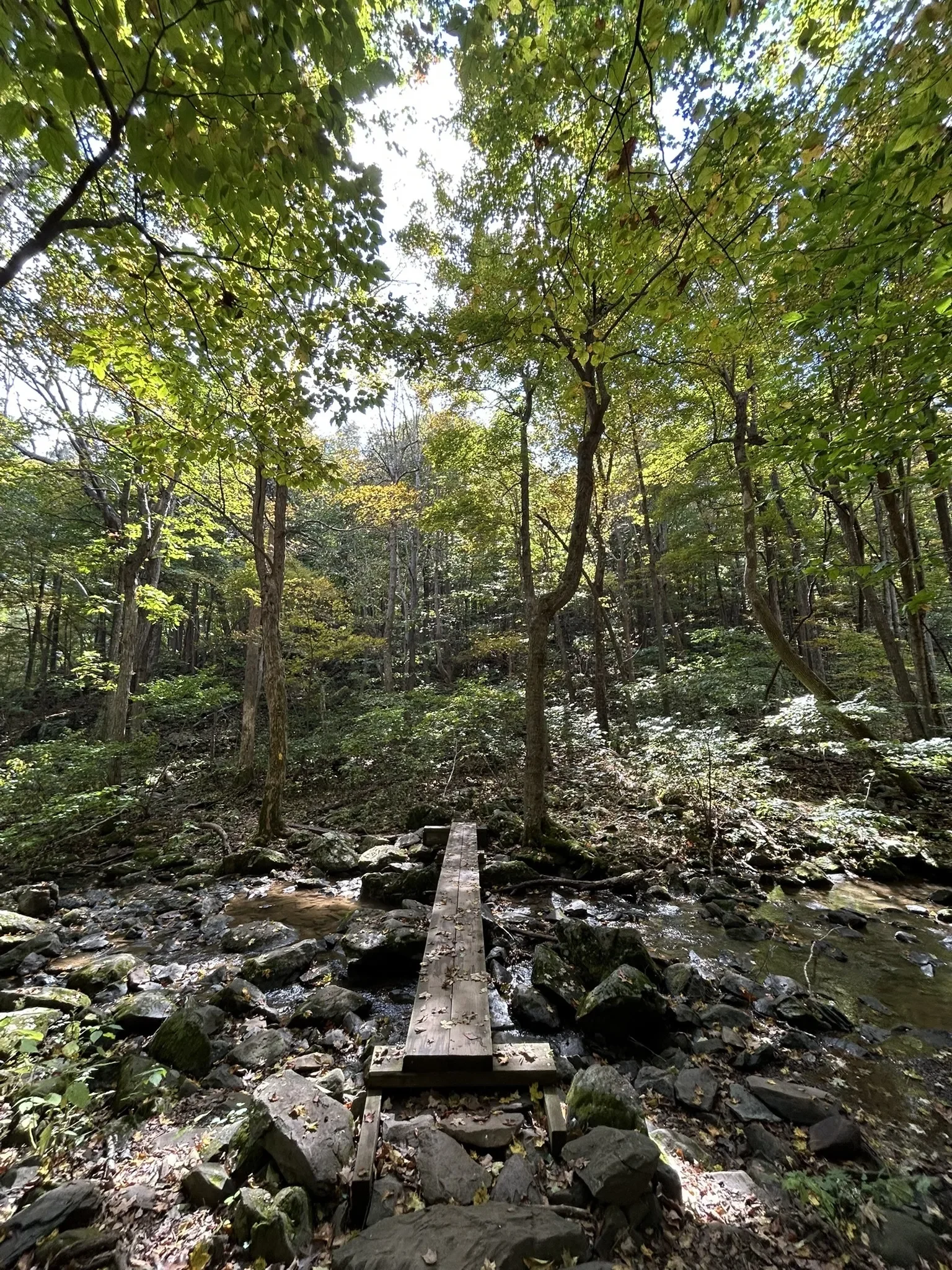
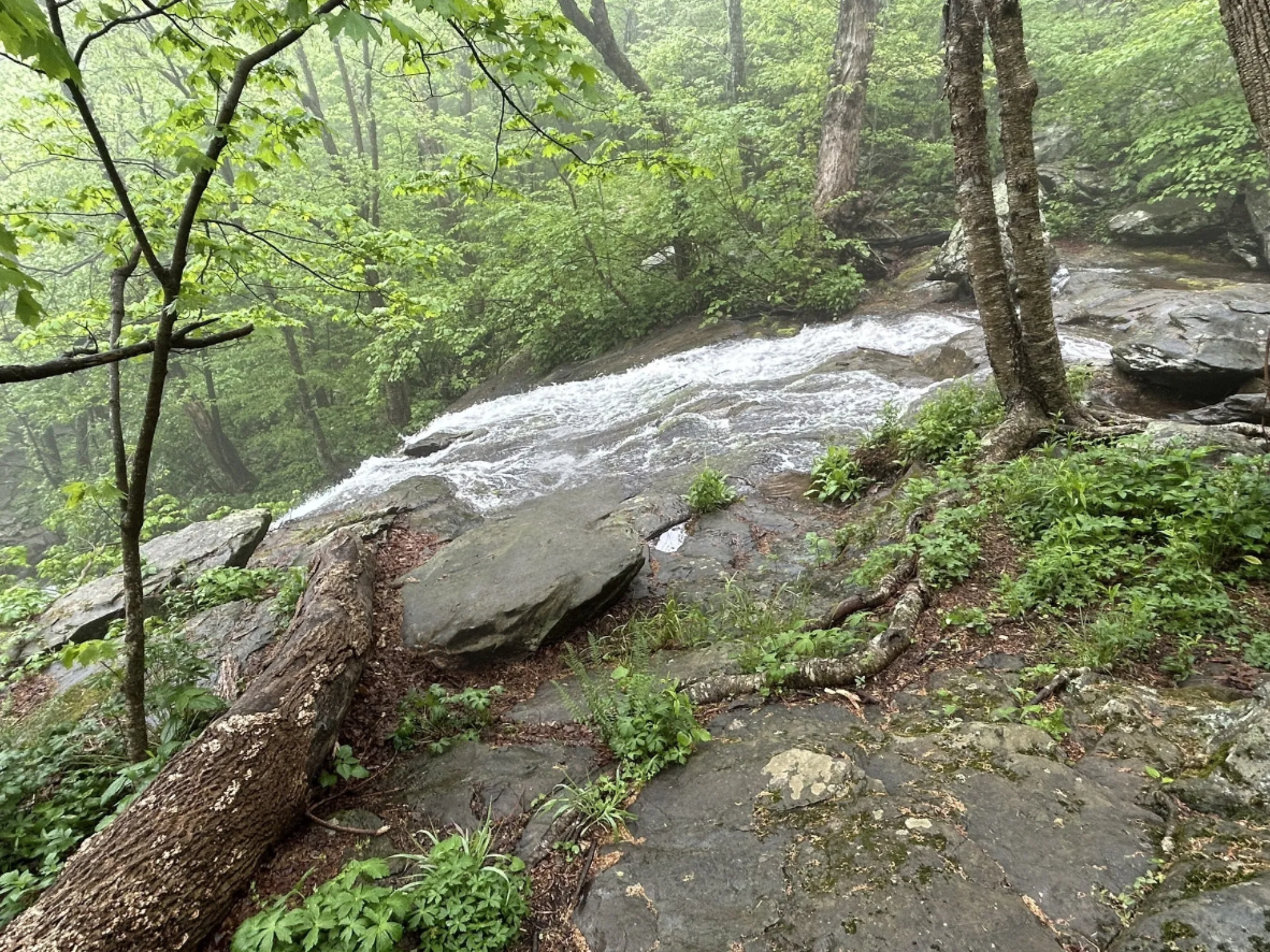
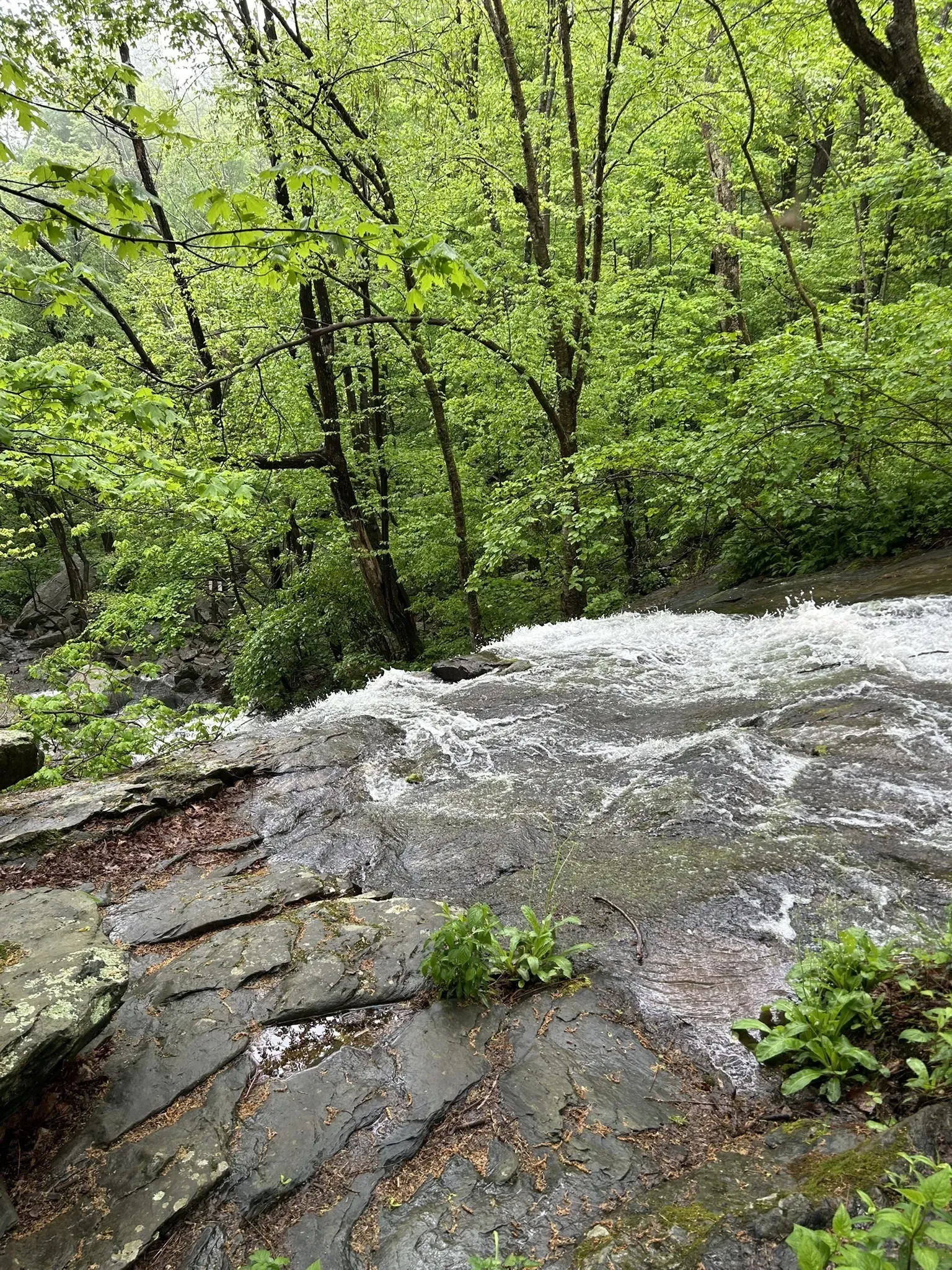
Key Features: waterfall, rocky.
Blaze Color: yellow.
Access: Closest access is from the Laurel Springs Access Trail on Laurel Springs Drive.
Google Maps directions to the parking area.
The Morgans Loop Trail serves as the completion of the loop trail around the Upper Shamokin waterfall. It features a unique view of the top of the waterfall.
The Laurel Springs access trail provides a steep access back to the parking area.
Longer Loop Trail: Upper Shamokin Falls with the Morgan Loop (0.8-miles) is one of the most popular and beautiful hikes on Wintergreen’s mountain. For details, click here.
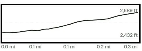
Trail Elevation via AllTrails.com.