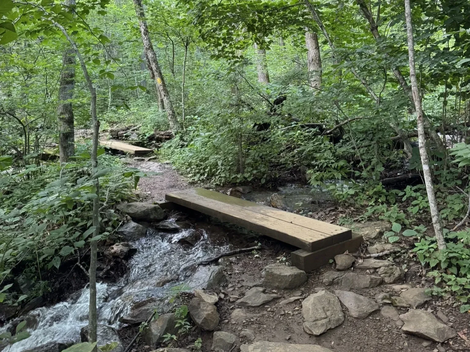
Distance: 0.7 miles (loop).
Difficulty Level: easy. 🟢
Time: 0.5 hour.
Elevation Change: 30 ft.
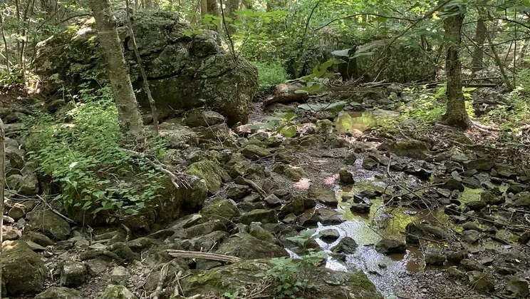
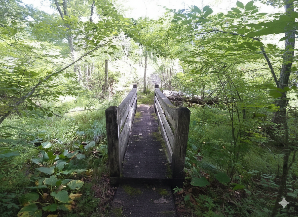
Key Features: wetlands, streams, family-friendly.
Blaze Color: blue.
Access: Parking lot off of Towhee Court.
Google Maps directions to parking area.

Distance: 0.7 miles (loop).
Difficulty Level: easy. 🟢
Time: 0.5 hour.
Elevation Change: 30 ft.
Key Features: wetlands, streams, family-friendly.
Blaze Color: blue.
Access: Parking lot off of Towhee Court.
Google Maps directions to parking area.
Distance: 1.1 miles (one way).
Difficulty Level: moderate. 🟦
Time: 1 hour.
Elevation Change: 250 ft.
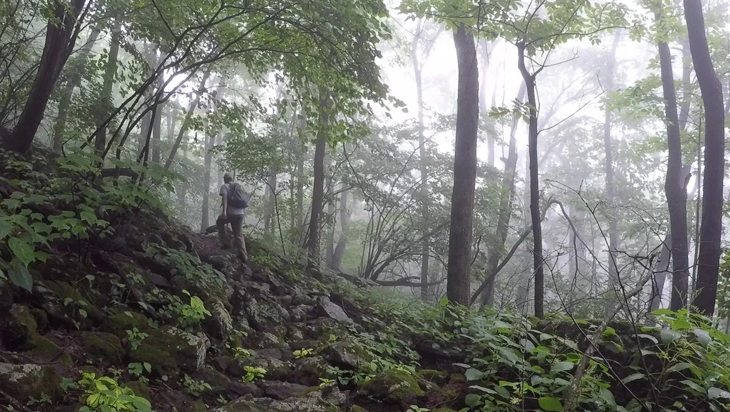
Key Features: rocky, wildflowers, stream.
Blaze Color: red.
Access: Closest access is the Chestnut Park Access Trail (limited shoulder parking).
Google Maps directions to parking area.
Distance: 1.1 miles (one-way).
Difficulty Level: moderately difficult. ◆
Time: 0.5 -1 hours.
Elevation Change: 510'gain/260’loss.(starting at Fortunes Ridge Drive)
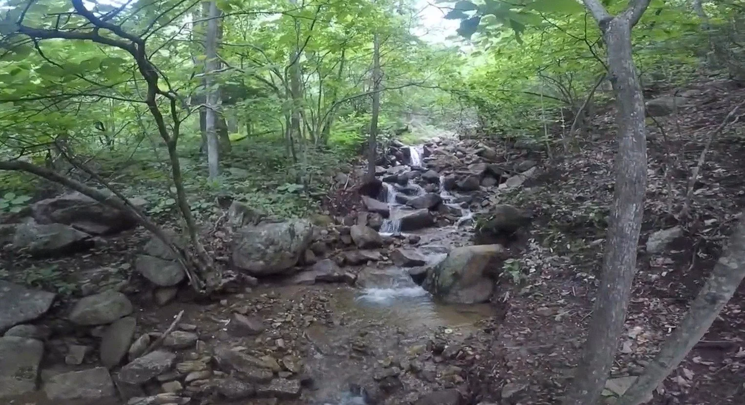
Key Features: waterfalls, wildflowers, dense forest, streams.
Blaze Color: red.
Access: Closest access is from the intersection of Fortunes Ridge Dr and Wintergreen Dr. (Limited parking, 1-2 cars)
Google Maps directions to parking area.
Distance: 0.6 miles (one way).
Difficulty Level: moderate. 🟦
Time: 0.5 - 1.0 hours.
Elevation Change: 370 ft.
Key Features: rock outcroppings, wildflowers, streams, woodlands.
Blaze Color: yellow.
Access: Parking is at the resort’s Discovery Center/Snow Tubing parking lot.
Google Maps directions to parking area.
Distance: 1.5 miles (one way).
Difficulty Level: easy to moderate. 🟦
Time: 1 hour.
Elevation Change: 240 ft gain/750 ft loss.
Key Features: wildflowers, birdwatching, family-friendly.
Blaze Color: Yellow/Red.
Access: Access at the southern end is at the Discover Ridge Parking area.
Google Maps directions to parking area.
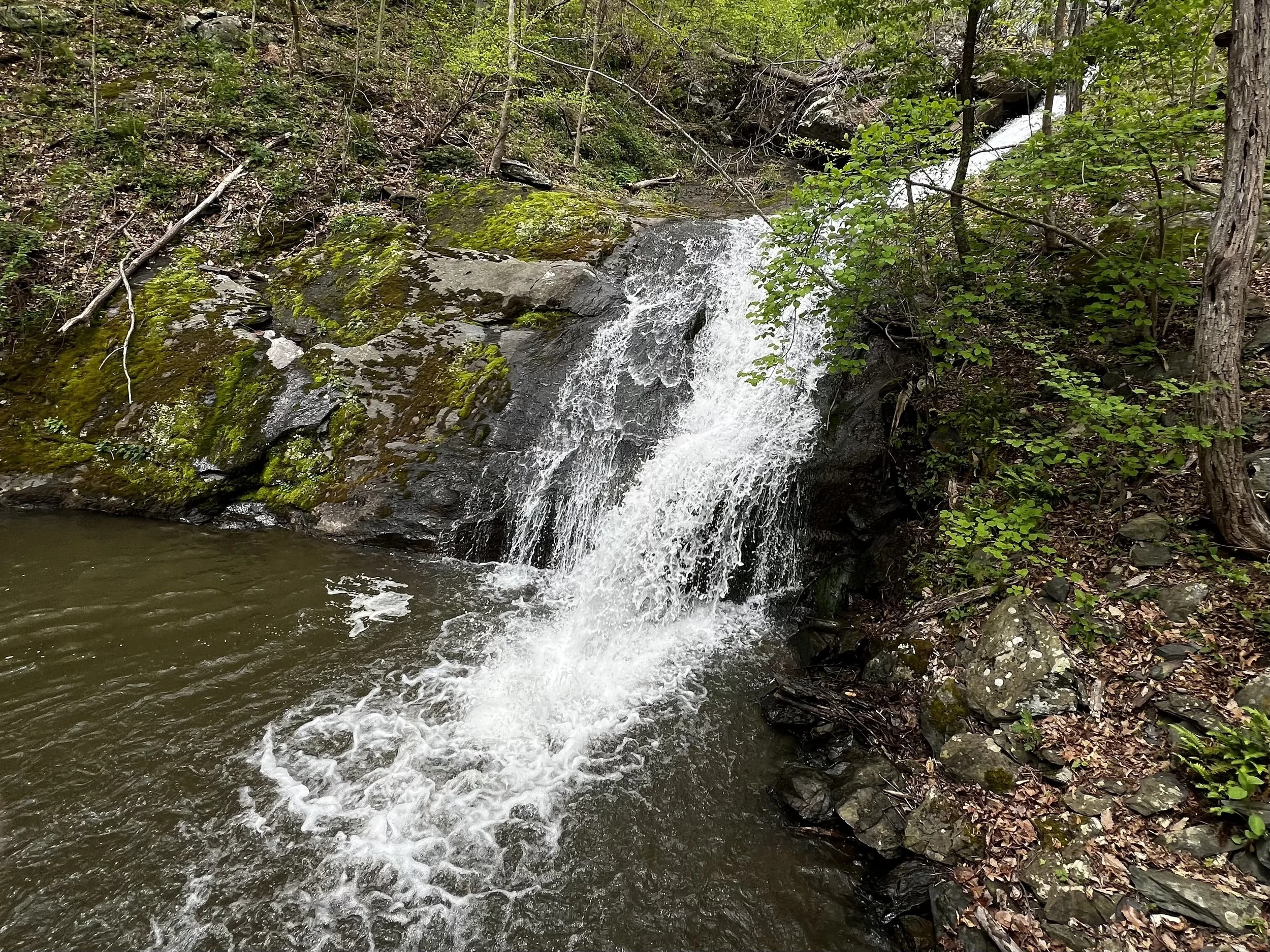
Distance: 1.7 miles (one way).
Difficulty Level: moderate. 🟦
Time: 1-2 hours.
Elevation Change: 700 ft.
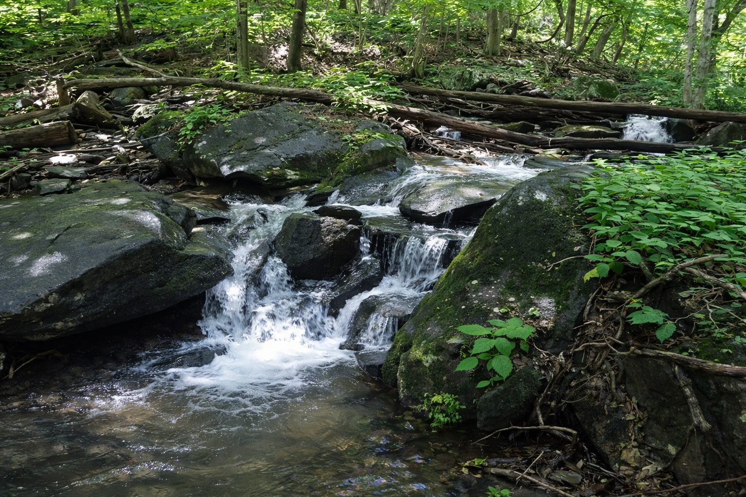
Key Features: waterfall, streams, wildflowers, family friendly.
Blaze Color: blue.
Access: Parking at the end of Old Stoney Creek Road (at gate).
Google map directions to parking area.
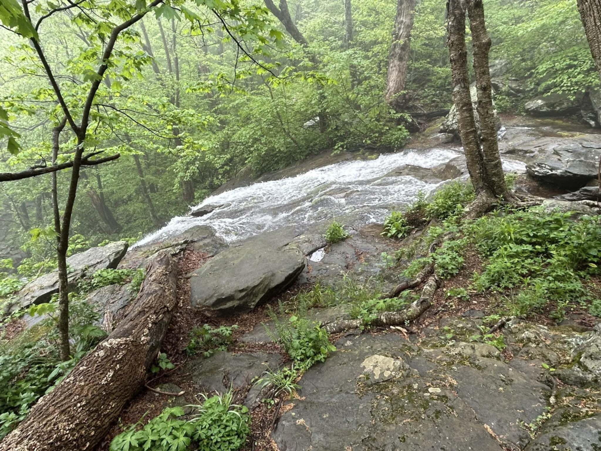
Distance: 0.3 miles (one way).
Difficulty Level: moderate. 🟦
Time: 0.5 hours.
Elevation Change: 180 ft.
Key Features: waterfall, rocky.
Blaze Color: yellow.
Access: Closest access is from the Laurel Springs Access Trail on Laurel Springs Drive.
Google Maps directions to parking area.
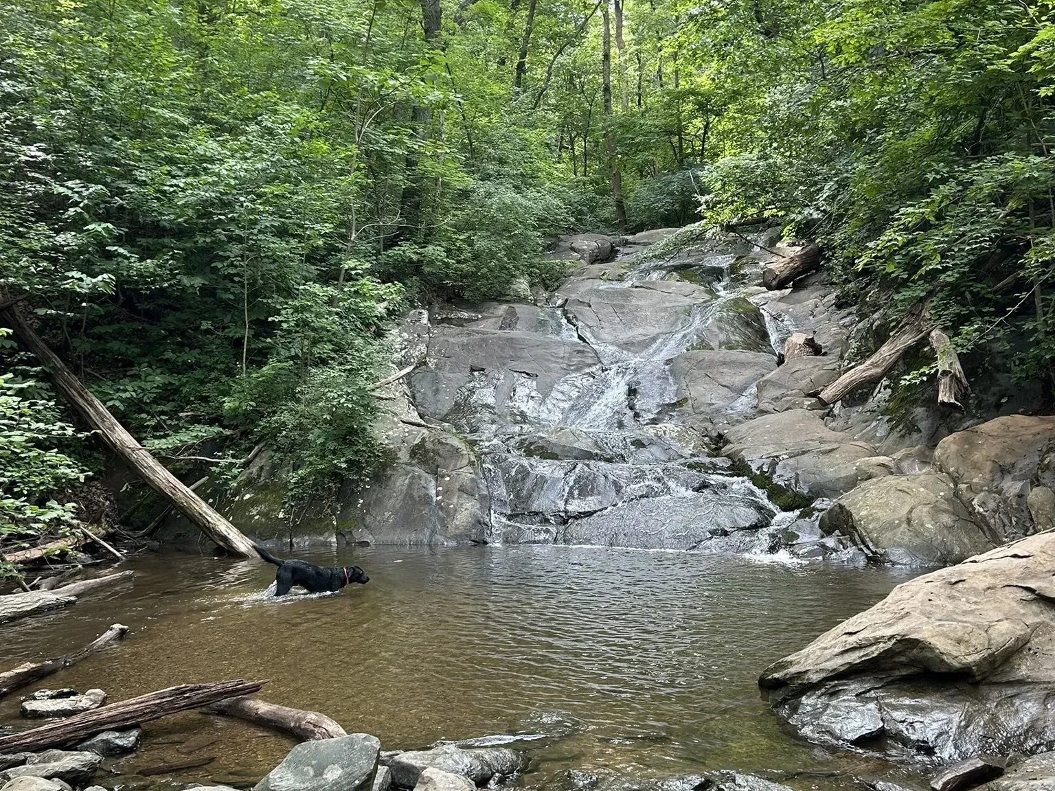
Distance: 0.6 miles (one way).
Difficulty Level: moderate. 🟦
Time: 0.5 hour.
Elevation Change: 300 ft.
Key Features: waterfall, streams, family-friendly.
Blaze Color: blue.
Access: Parking on Pauls Creek Court.
Google Maps directions to parking area.
Distance: 0.3 miles (loop trail).
Difficulty Level: easy. 🟢
Time: 0.5 to 1 hour.
Elevation Gain: 42 ft.
Key Features: streams, hiking, wildflowers, birding, family-friendly, forest, loop hike.
Blaze Color: yellow.
Access: The trail can be accessed from a small parking lot (4-6 cars) located at the corner of Blue Ridge Drive and Shamokin Springs Road.
Google Maps directions to parking area.
Distance: 0.9 miles (one way).
Difficulty Level: easy. 🟢
Time: 1-2 hours.
Elevation Change: flat.
Key Features: streams, wildflowers, family friendly, paved, flat, picnic.
Blaze Color: blue.
Access: Parking is off of Stoney Creek West, 1/10th of a mile past Creekside Close on the left side of the road.
Google Maps directions to parking area.
Distance: 0.8 miles (one way).
Difficulty Level: difficult. ◆
Time: 1.0 hours.
Elevation Change: 270 ft.
Key Features: rocky, streams, challenging.
Blaze Color: red/yellow.
Access: Access the trail from the Old Appalachian Trail. Park at the Old AT Access on Laurel Springs Road.
Google Maps directions to parking area.