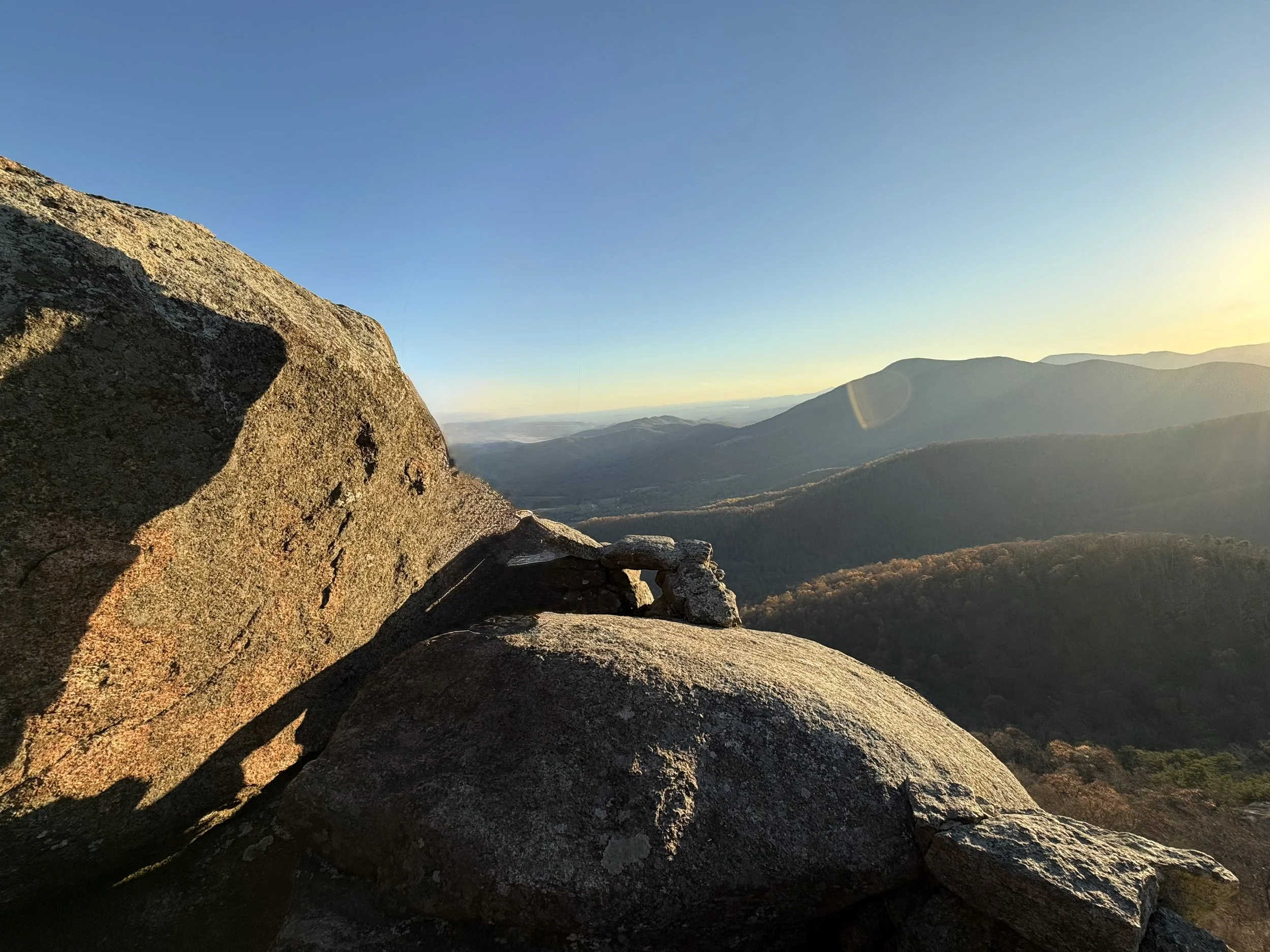
Distance: 0.2 miles (one way).
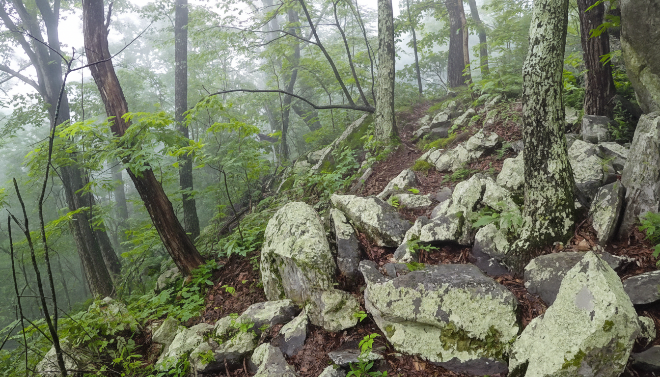
Difficulty Level: moderately difficult. ◆
Time: 30 minutes.
Elevation Change: 200 ft.
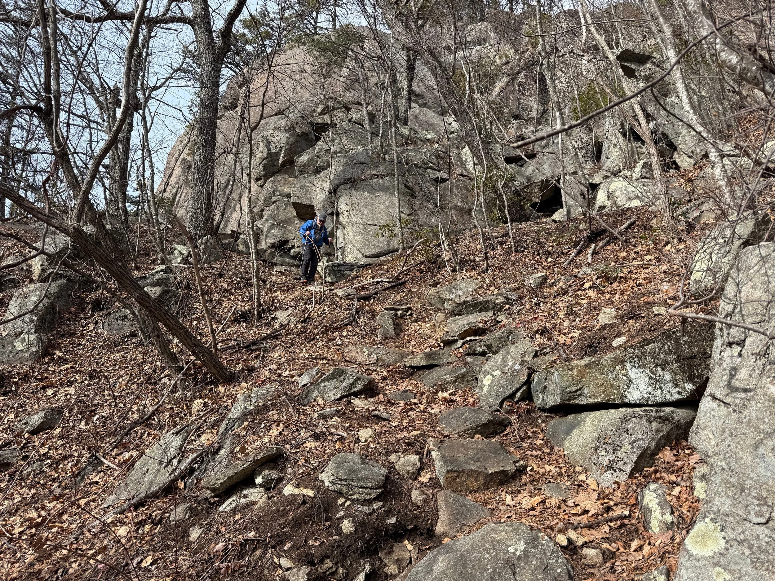
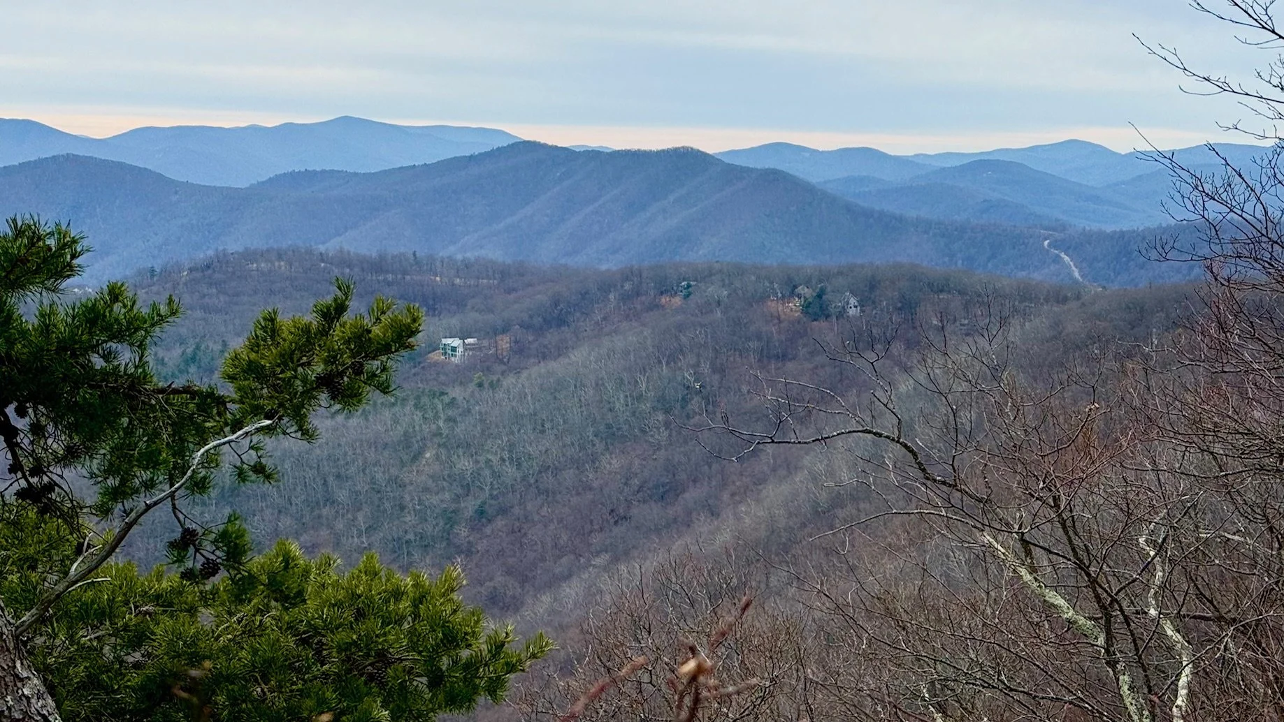
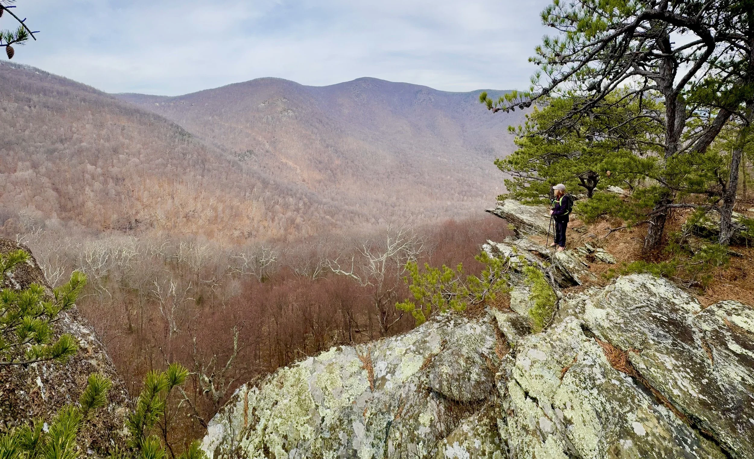
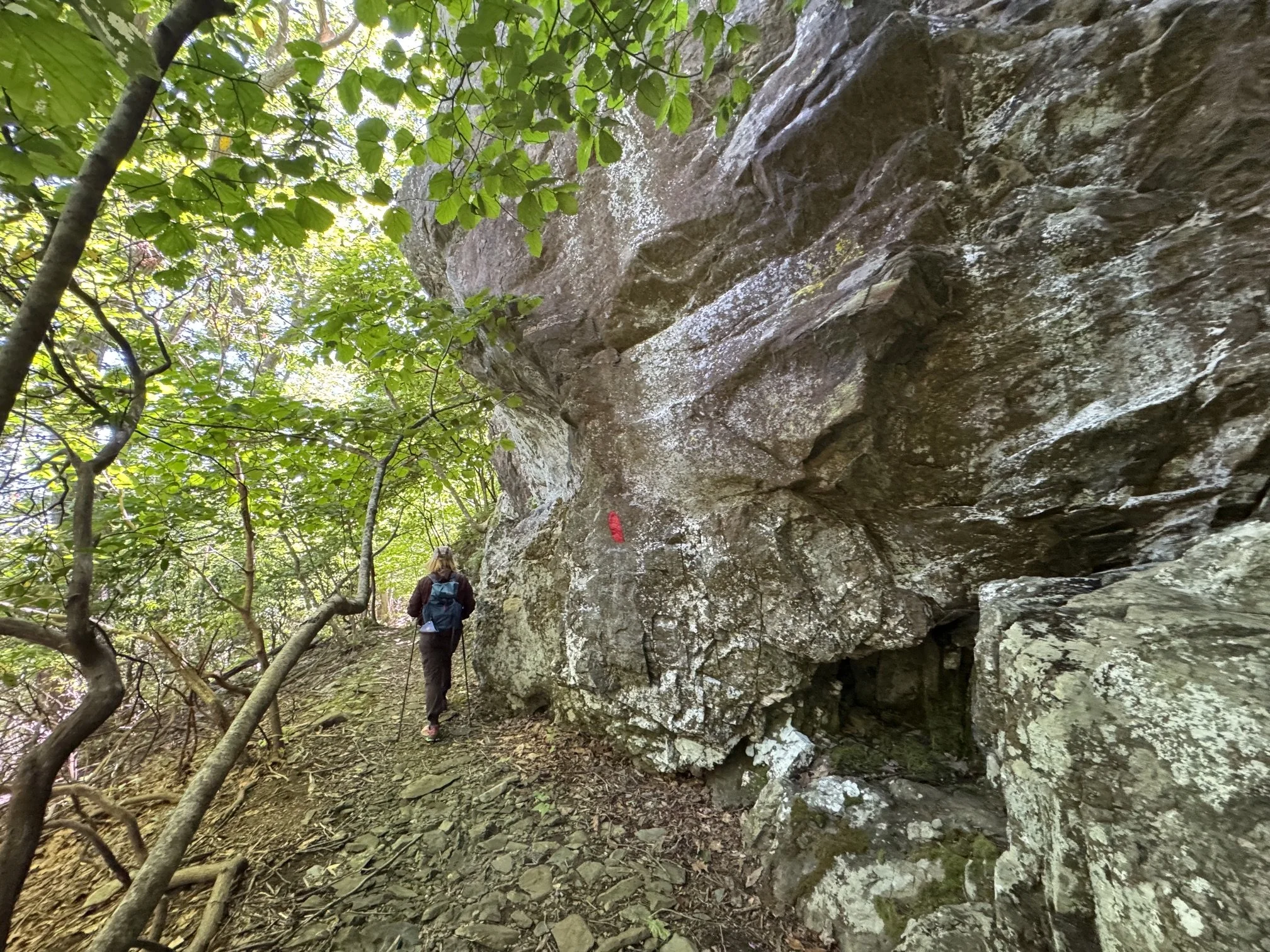
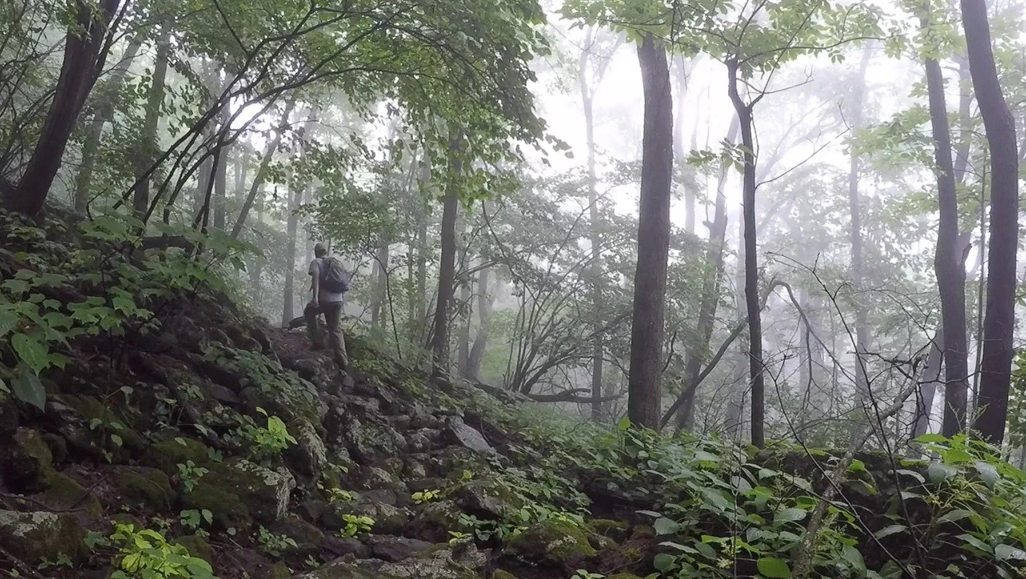
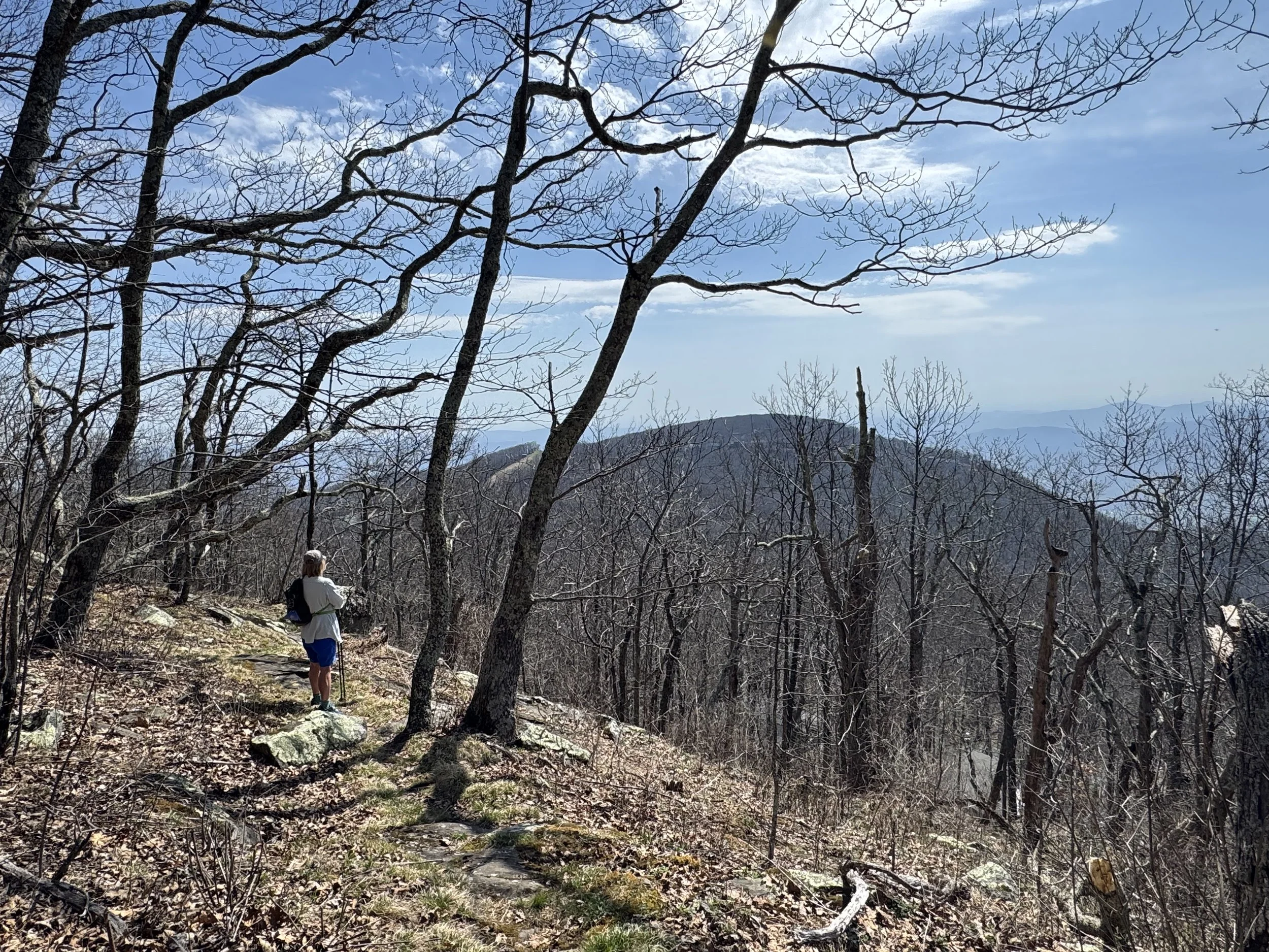
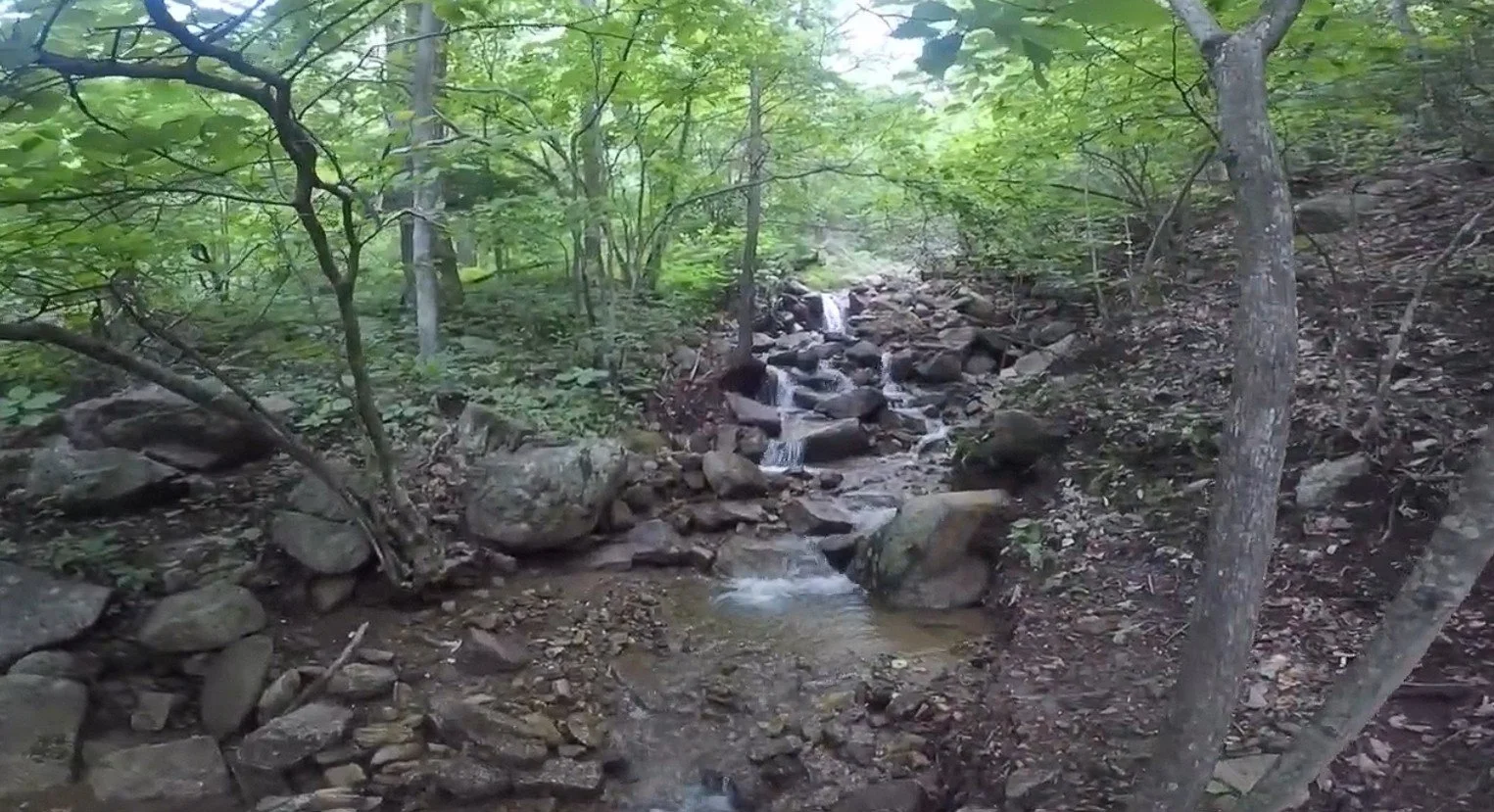
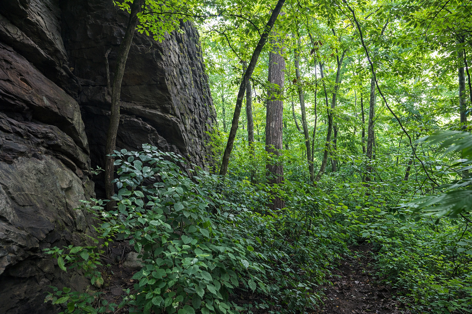
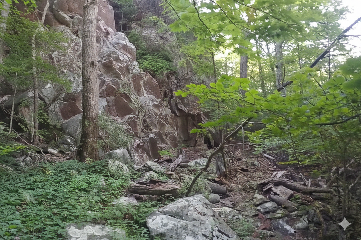
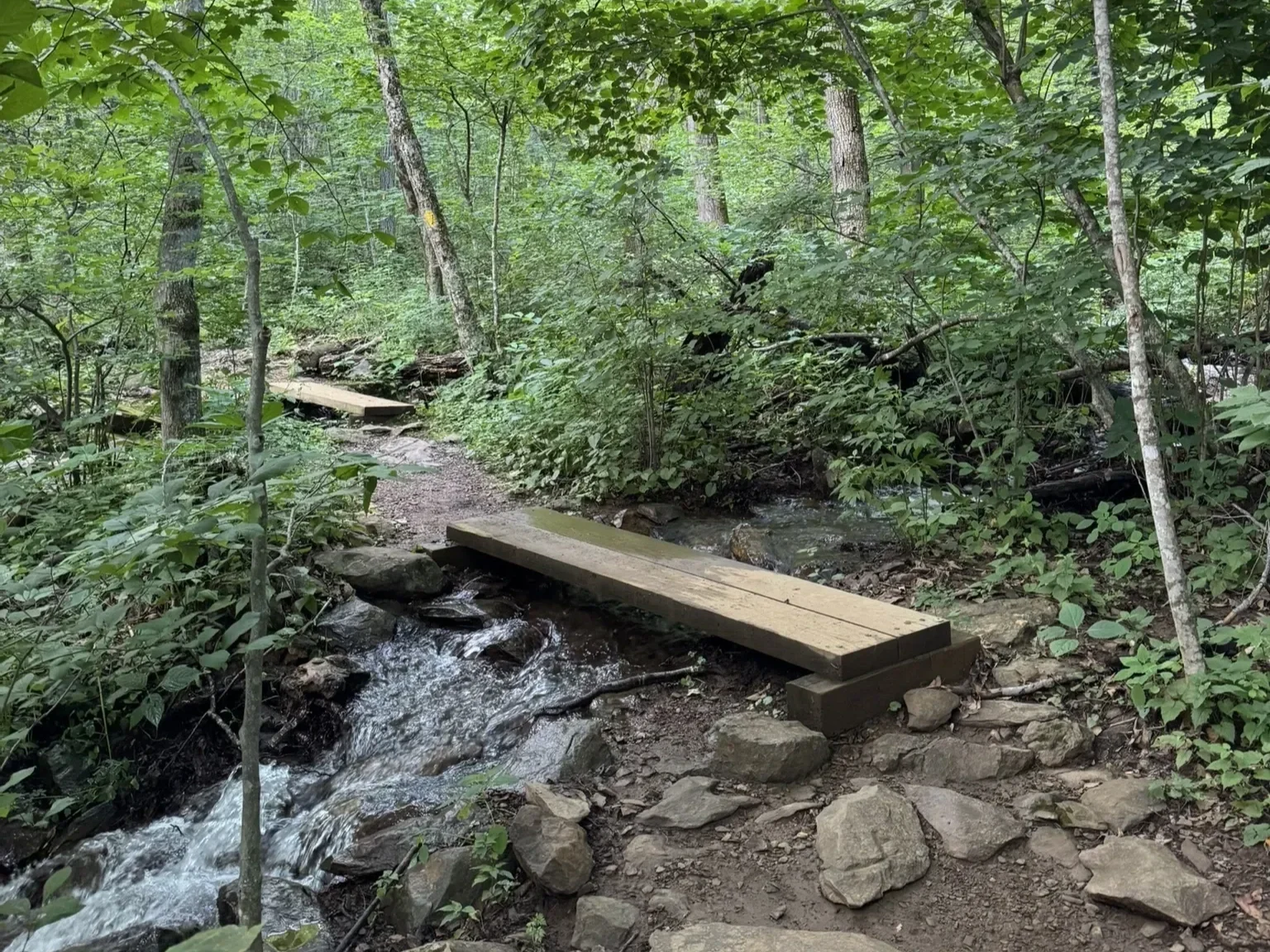
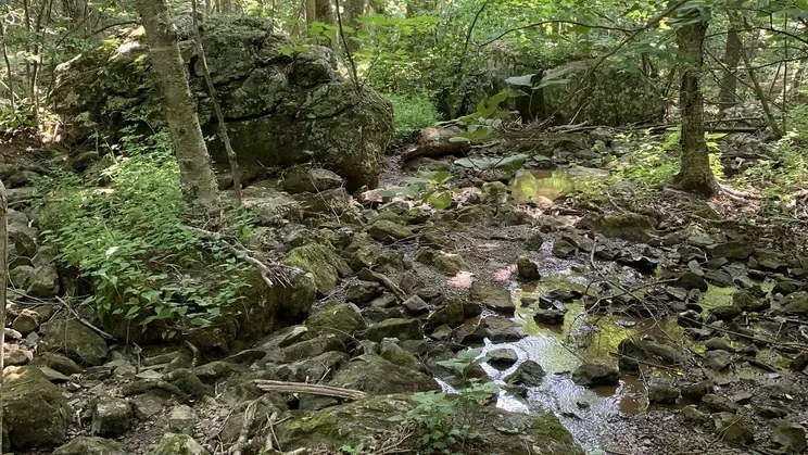
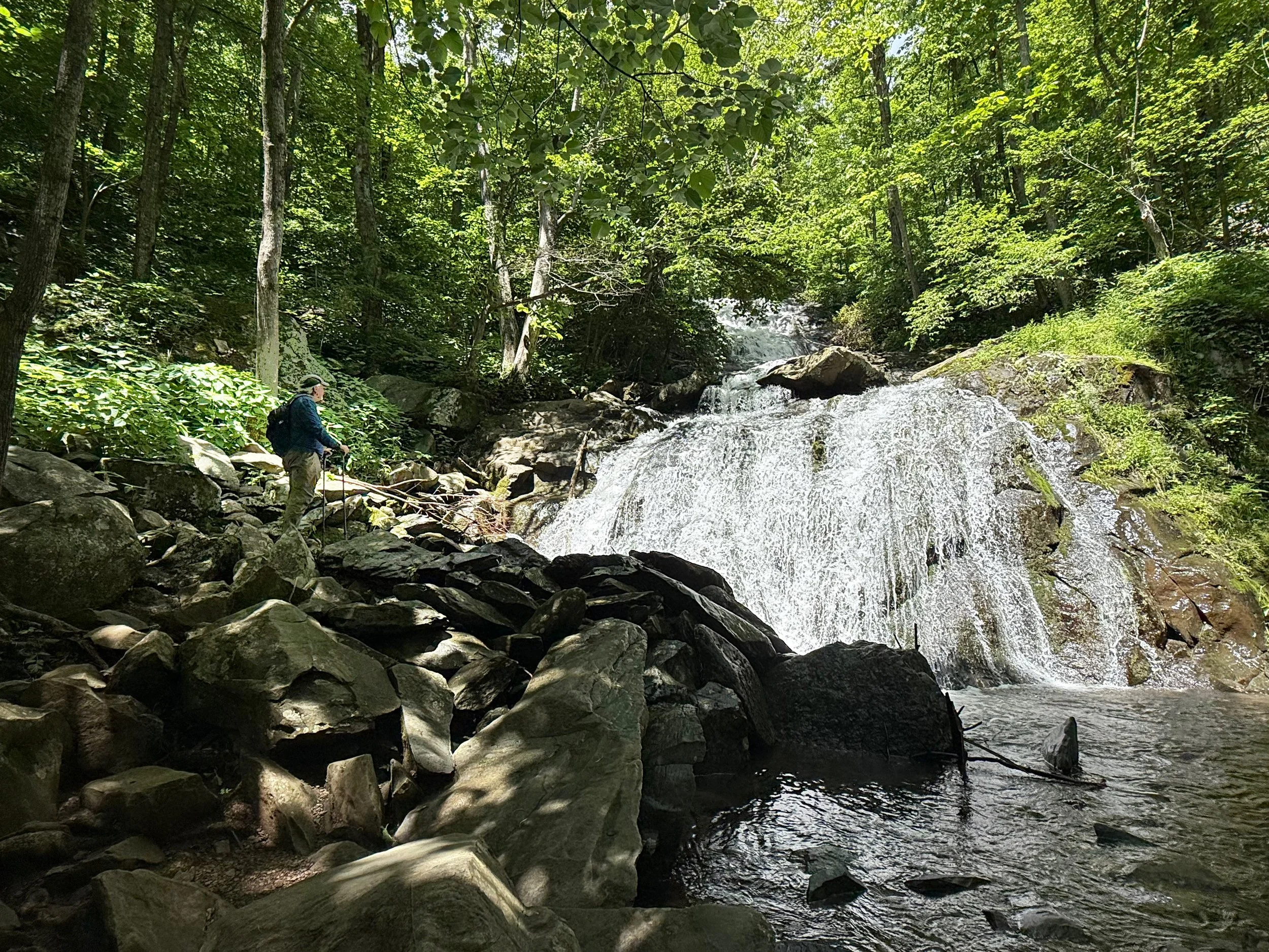
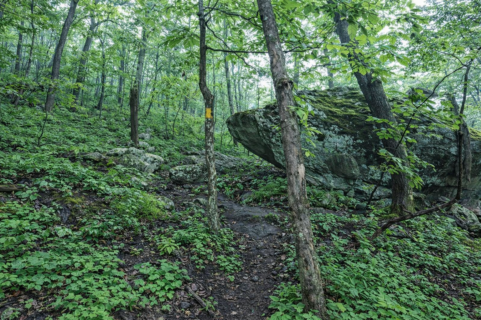
Key Features: rocky, rock scramble, scenic views, geology.
Blaze Color: yellow.
Access: Start from Blackrock Park.
Google Maps directions to Blackrock Park parking lot.