Distance: 1.6 miles (one way).
Difficulty Level: difficult. ◆
Time: 1 hour.
Elevation Change: 210 ft./720 ft.
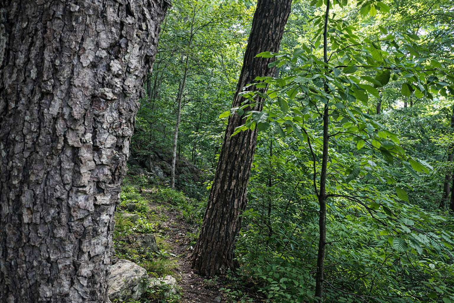
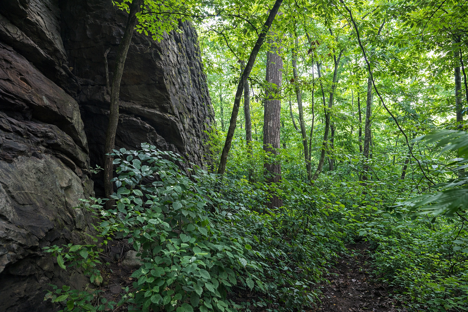
Key Features: rocky, birdwatching
Blaze Color: red.
Access: The closest access to the southern end of the trail is from the 0.4-mile Pedlars Edge Access Trail off Blackrock Circle.
Google Maps directions to parking area.
This trail connects to the Blackrock Trail at the south end and to the Cedar Cliff South/Hemlock Springs trails at the north end.
Pedlars Edge Trail is named after the geologic formations found at this elevation–the “pedlar formation,” which was formed 1.1 million years ago.
The power-line section is a birdwatcher's delight, with the creation of an edge that attracts wildflowers and seeds for birds to feed on. Allow extra time for access and return. Use caution in winter.
When hiking north on the trail, beware of a marked left turn, to avoid continuing on an unmaintained path to "intern Gulch", named for two occasions where a Nature Foundation intern ended up behind some homes in the valley.

Trail Elevation via AllTrails.com.