Distance: 1.7 miles (one way).
Difficulty Level: moderate. 🟦
Time: 1-2 hours.
Elevation Change: 700 ft.
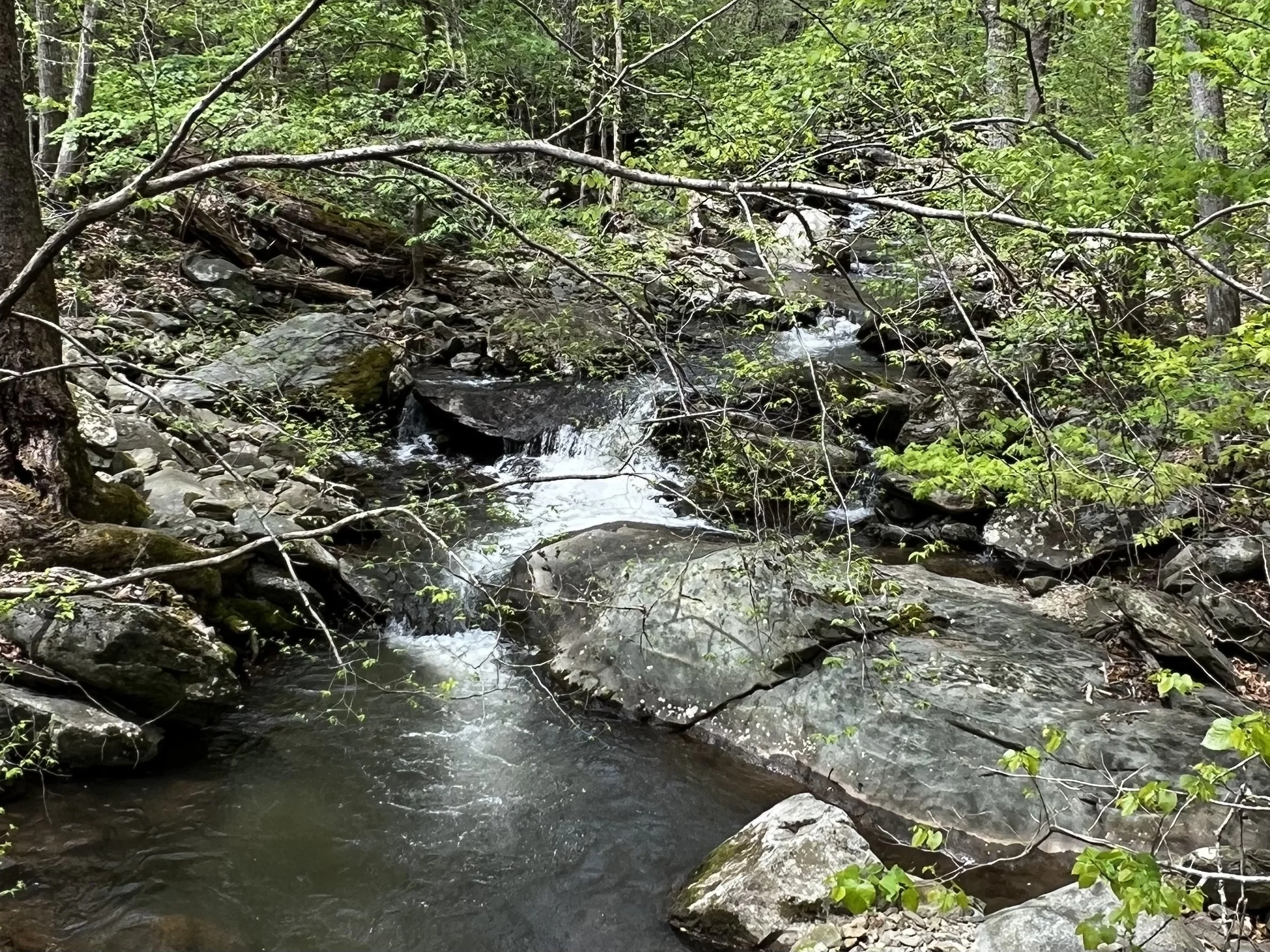
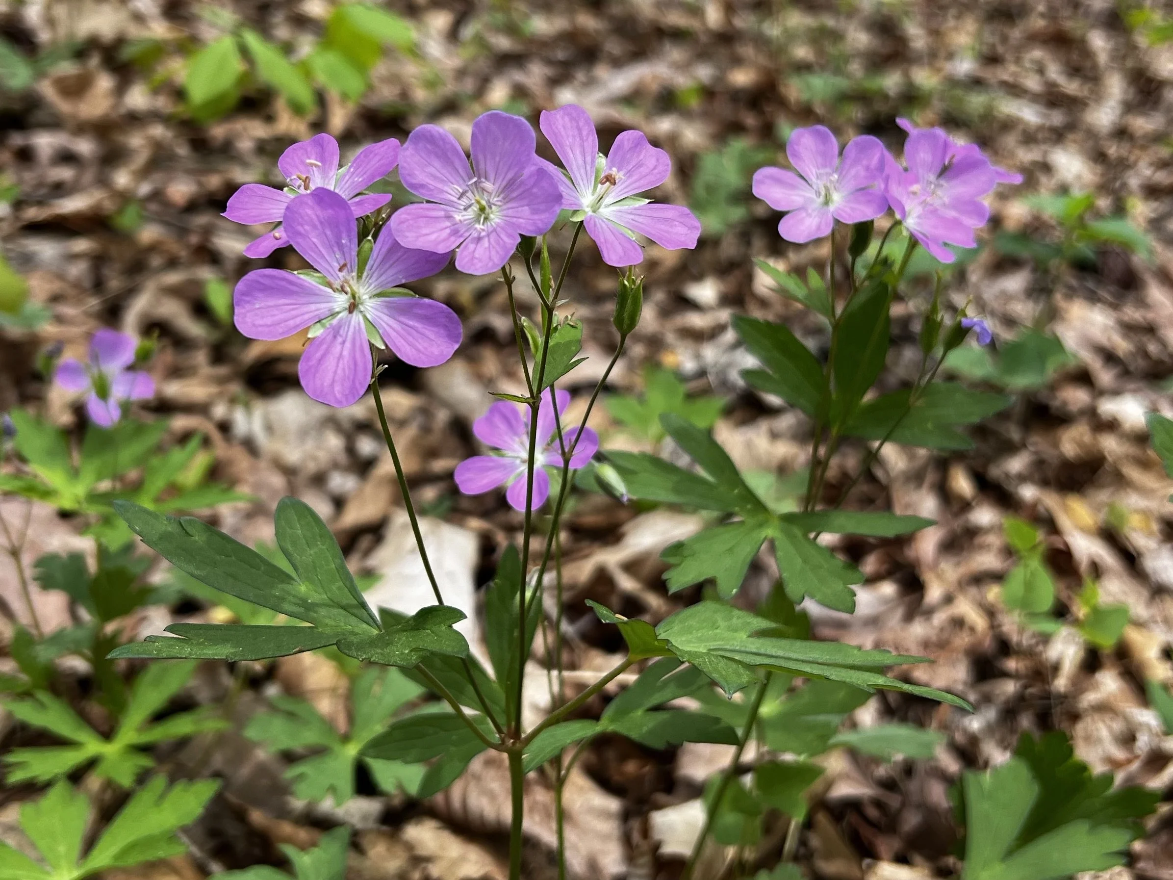
Key Features: waterfall, streams, wildflowers, family-friendly.
Blaze Color: blue.
Access: Parking at the end of Old Stoney Creek Road (at yellow gate).
Google map directions to the parking area.
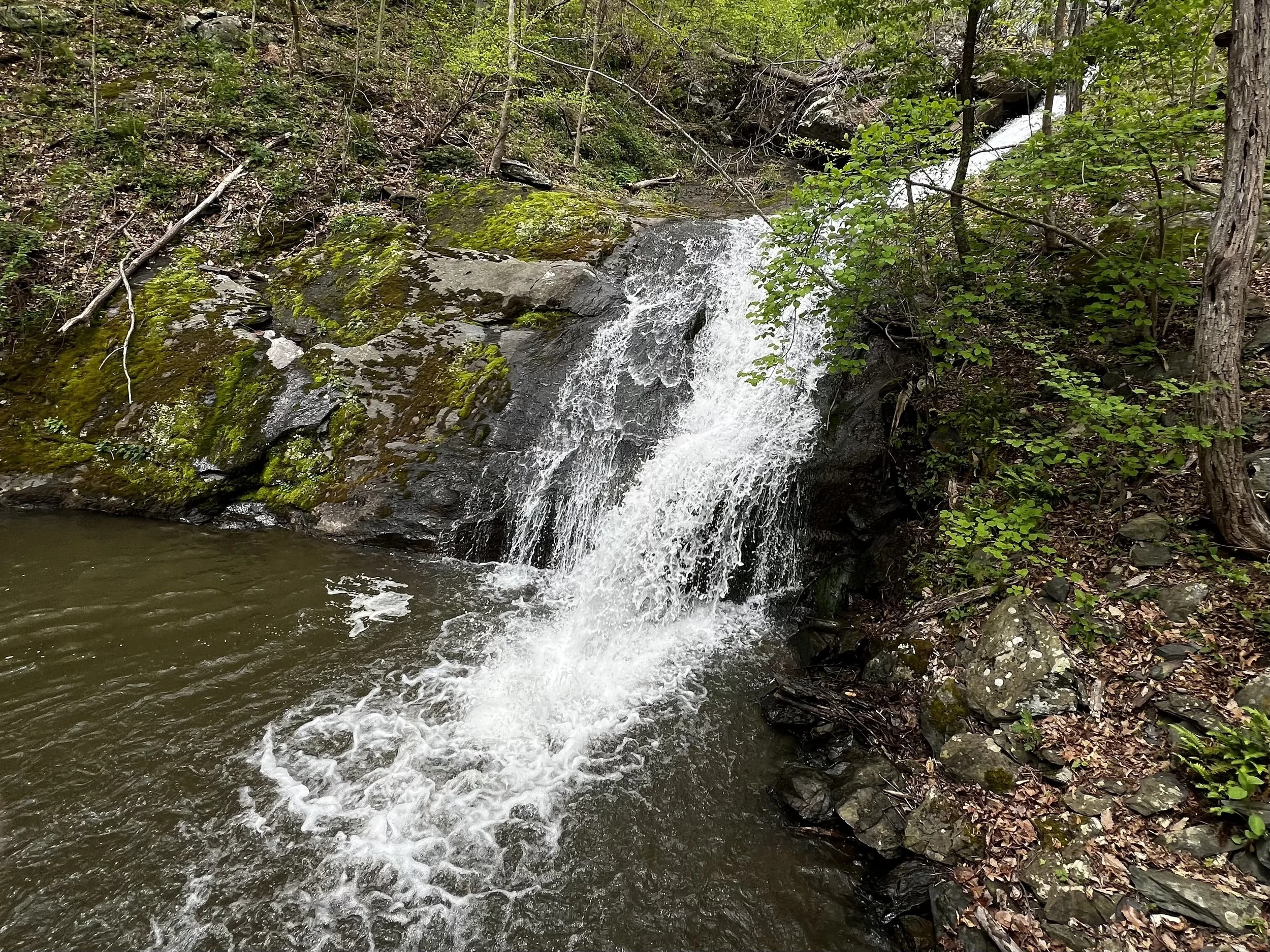
Lower Shamokin Fall Trail is the longest destination trail on the property, ending at the base of a cascading waterfall that begins just below the Upper Shamokin Falls Trail.
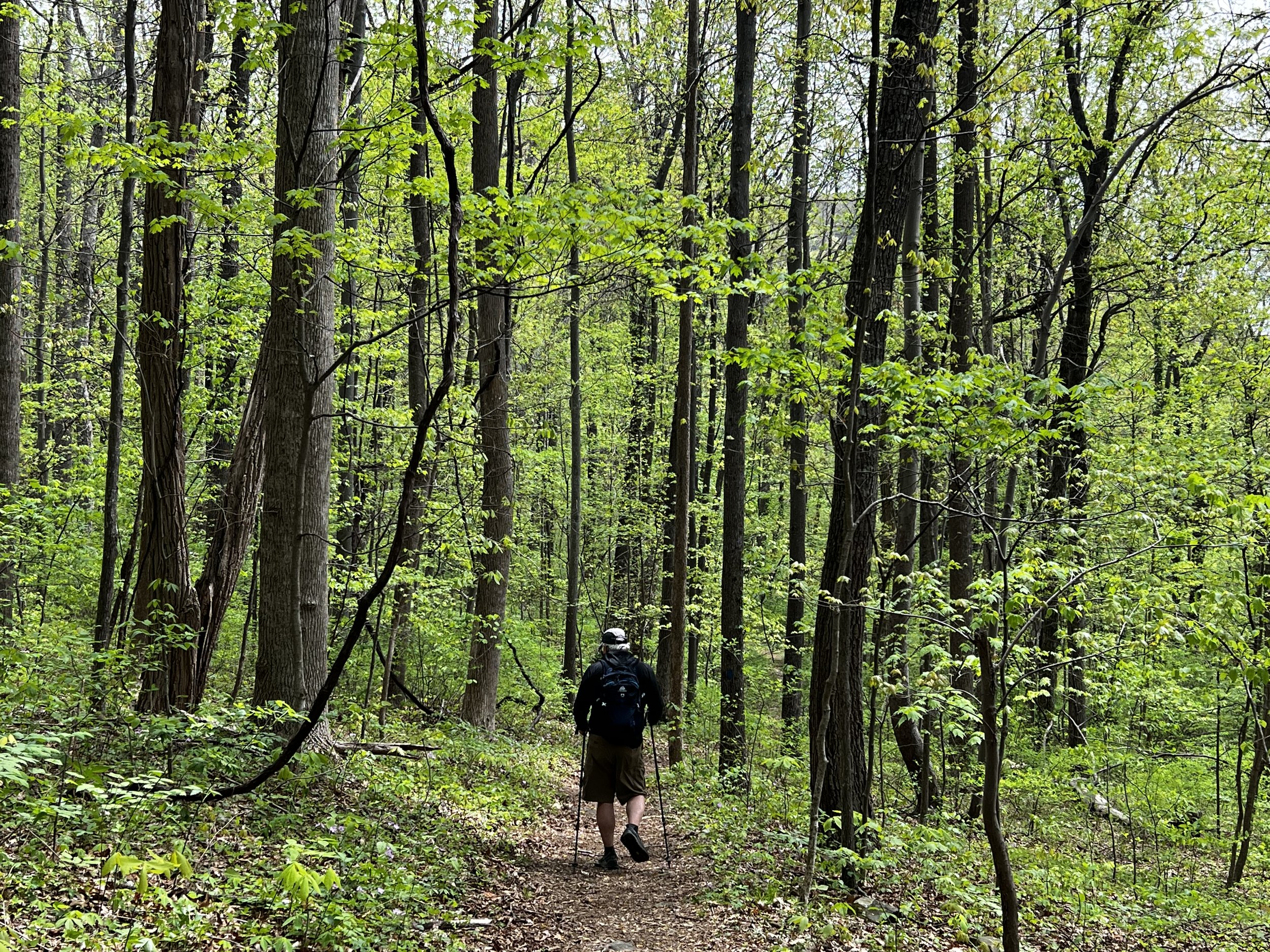
From the parking area in the valley, the trail follows a gravel two-track to Peggy's Pinch pump station and power station. Stay to the right of the pump house building, cross the pedestrian footbridge, then turn right to head up the jeep road. At the red gate, there is a sign saying that the road is to be used only by owners and accompanied guests. This only applies to vehicle traffic, as the blue-blazed trail follows this road for about three-quarters of a mile, then veers to the left, leaving the jeep road at a sign. From there, it is a foot trail up to the falls, which is rocky in places.
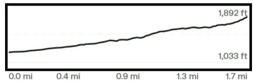
Trail Elevation via AllTrails.com.