Distance: 1.0 mile (one way).
Difficulty Level: most difficult. ◆◆
Time: 1-1.5 hours.
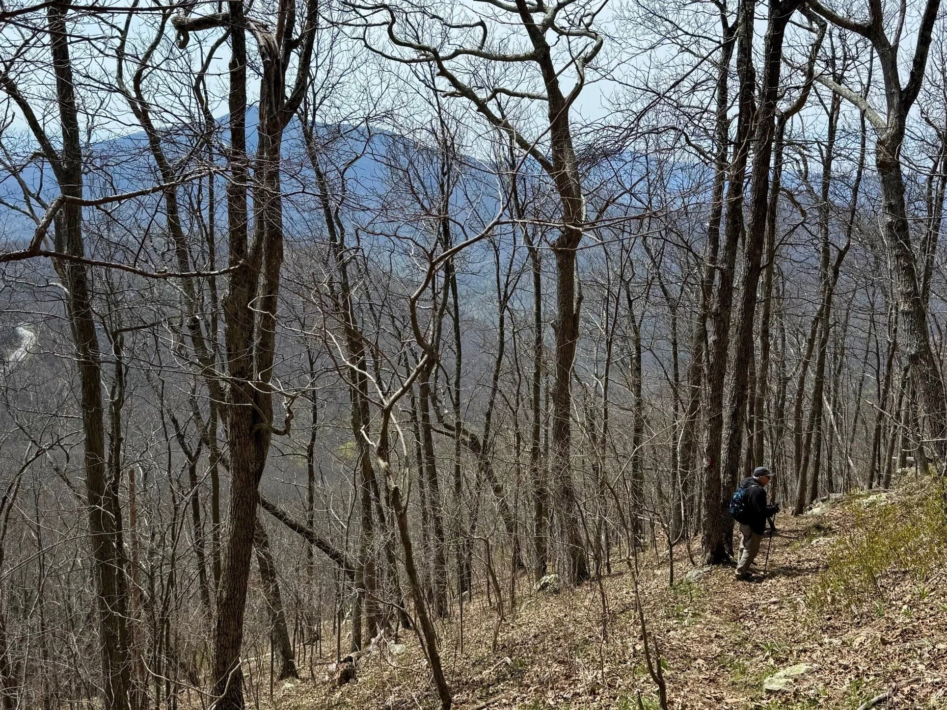
Elevation Change: 850 ft.
Key Features: rocky, geology.
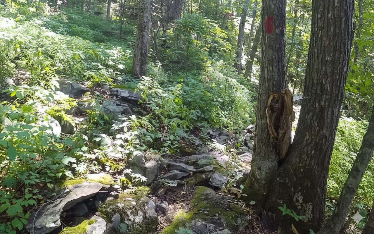
Blaze Color: red.
Access: Southern end of the trail is accessed from Fortune Ridge Road. The northern end of the trail is accessed from the Devils Knob trail and the White Oak trail.
Google Maps directions to the limited parking at the trailhead on Fortune Ridge Road.

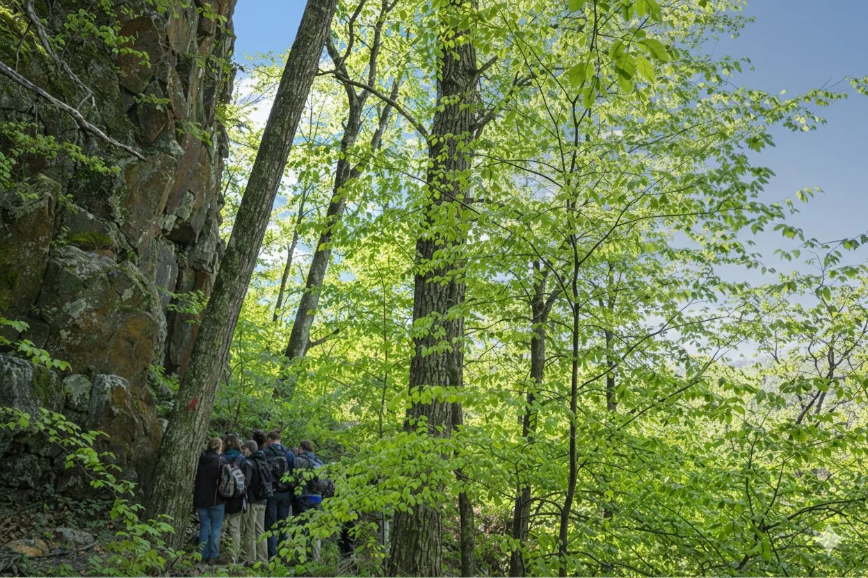
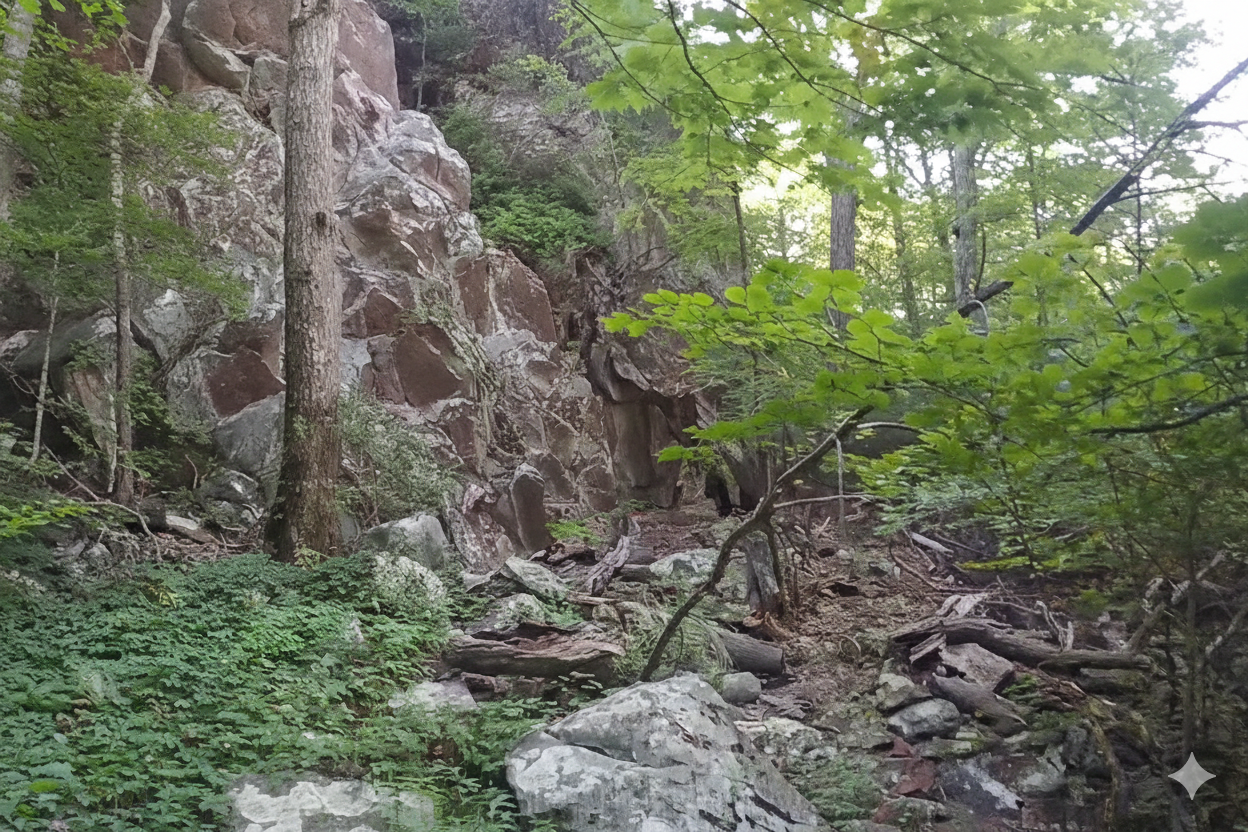
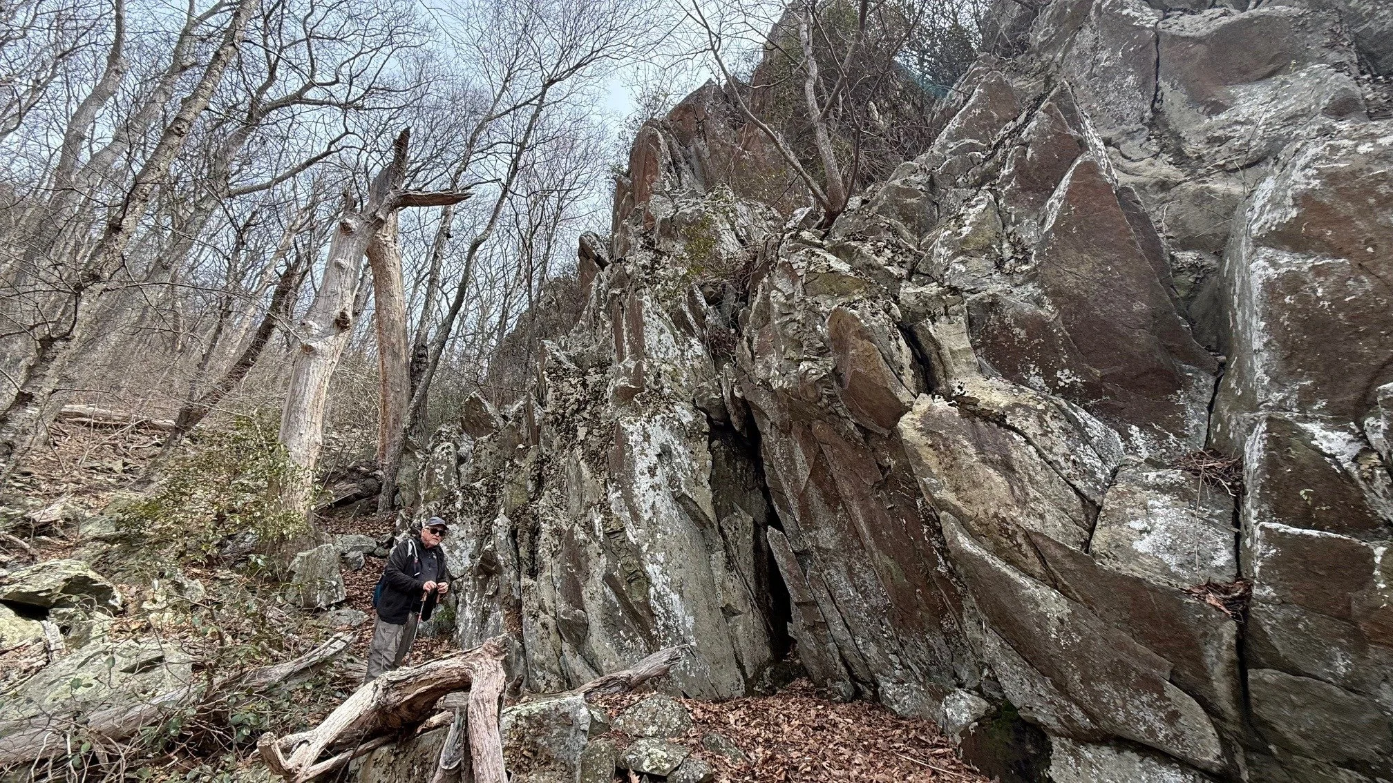
Pond Hollow is one of the most interesting and challenging trails on the mountain. It is located within a geologic fault line.
The fault line is located in the center of the trail and easily recognized by the 50-100-foot swath of displaced boulders.
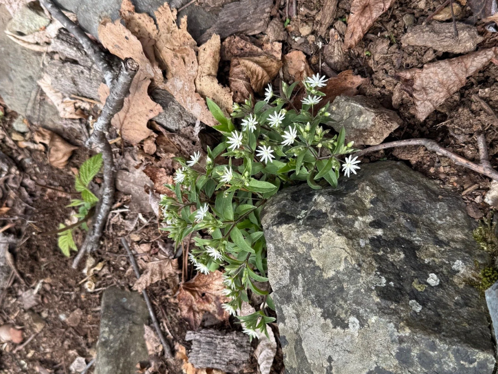
Note the interesting placement of plant life. The forested area to the west has been labeled as prime bobcat habitat. Use caution in winter.
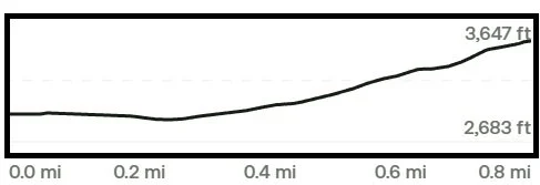
Trail Elevation via AllTrails.com.