Distance: 0.4 miles (one-way).
Difficulty Level: moderate. 🟦
Time: 0.5 hours.
Elevation Change: 240 ft.
Key Features: waterfalls, wildflowers, rocky.
Blaze Color: yellow.
Access: Closest access is on Laurel Springs Drive from the Laurel Springs Access Trail.
Google Maps directions to the parking area.
The Upper Shamokin Trail can also be accessed from the Upper Shamokin Gorge Trail, or the Loggers Alley Trail.
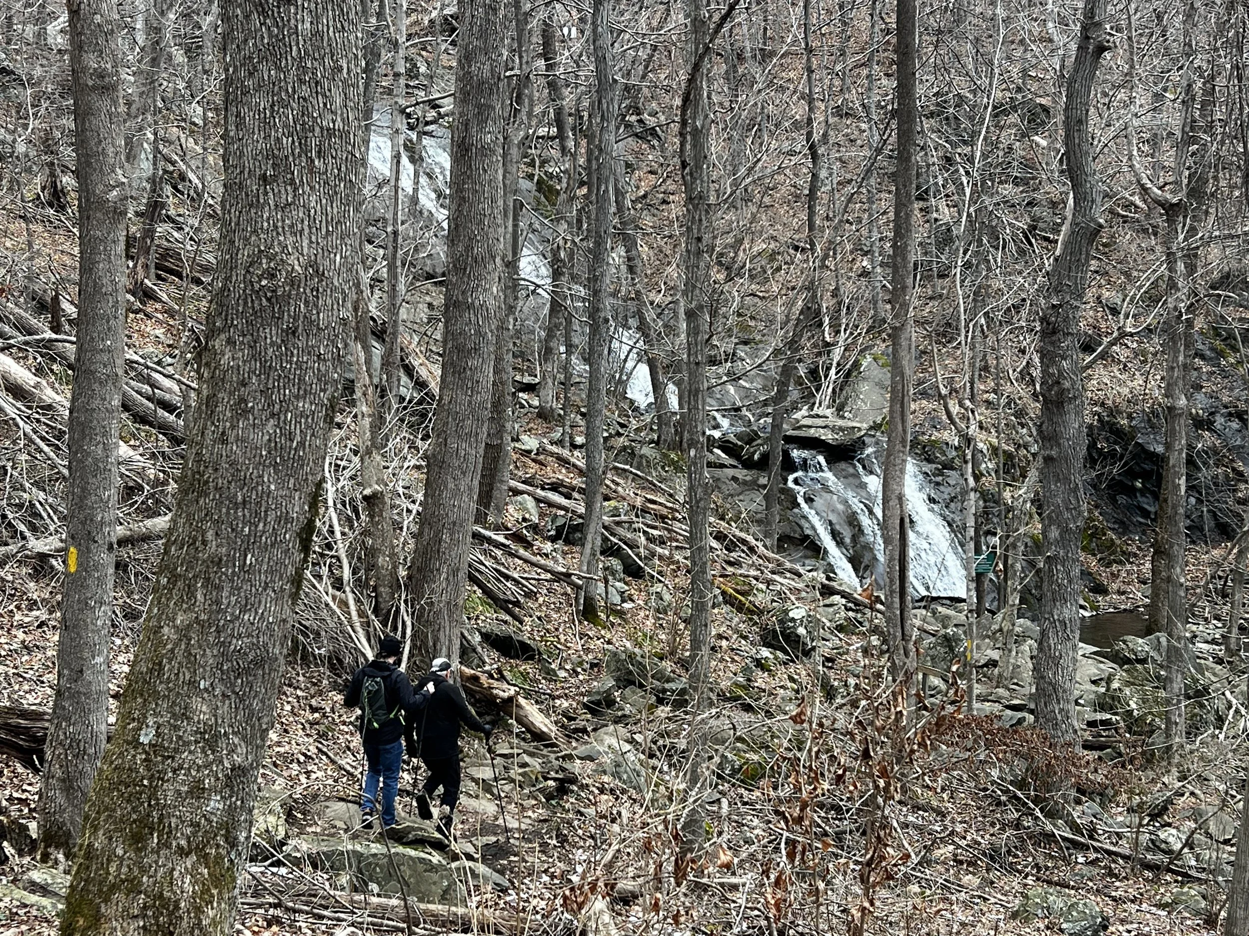
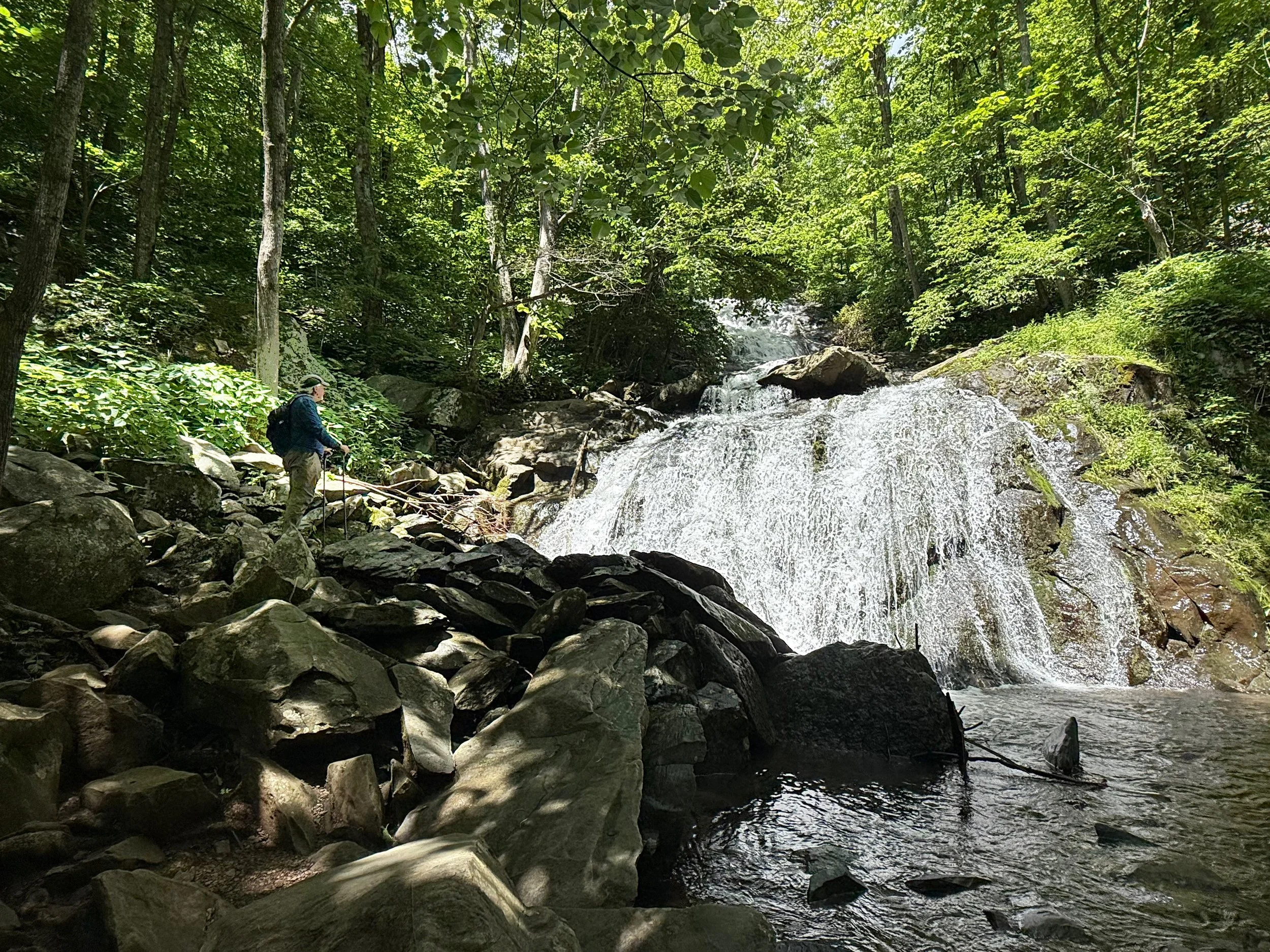
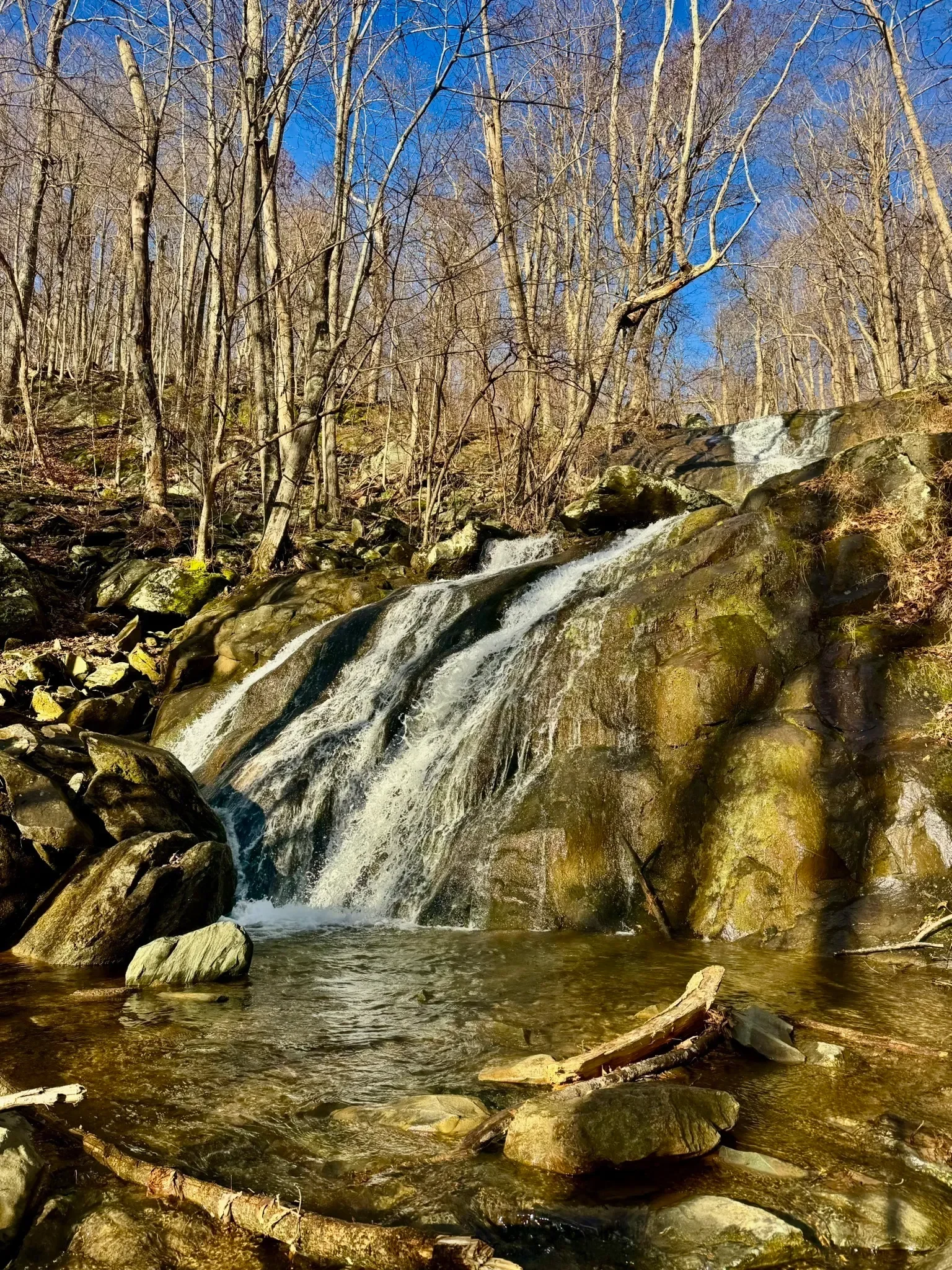
The Upper Shamokin Trail is one of the most popular on the mountain. The beautiful path lined with ferns and wildflowers leads to a stunning view of the Upper Shamokin Falls. Don’t forget your camera on this hike for the entire family.
Please refrain from climbing on the edges of the falls, as the rocks are slippery when wet. Use caution in the winter.
Longer Hikes that include Upper Shamokin Falls Trail:
Shamokin Falls/Morgan Loop Trail is a 0.8 mile moderate loops trail trail combines a loop utilizing the Shamokin Falls and Morgan Loop Trails. Details.
Shamokin Falls via Shamokin Springs Nature Preserve Trail is a 2.8 mile moderate out-and-back trail starting on the Shamokin Springs Trail. Turn right (heading north) on the Old AT Trail, to Upper Shamokin Gorge Trail to Upper Shamokin Falls Trail. Details.
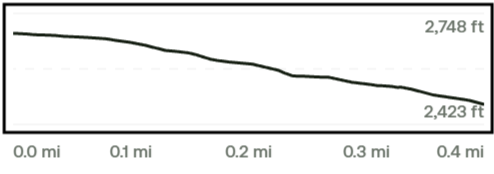
Trail Elevation via AllTrails.com.