Distance: 0.8 miles (one way).
Difficulty Level: difficult. ◆
Time: 1 hour.
Elevation Change: 370 ft.
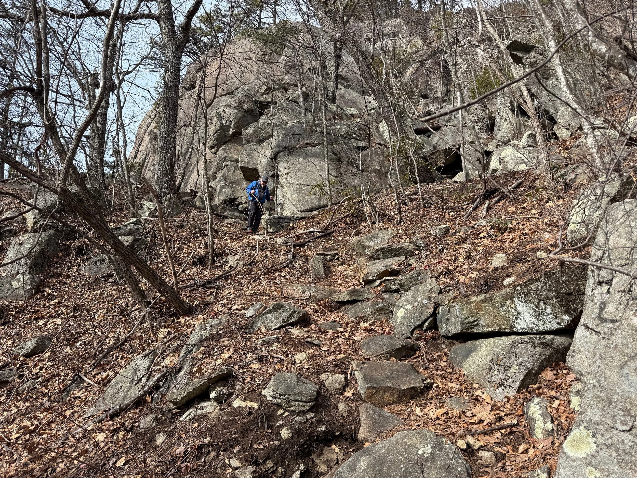
Key Features: rocky, wildflowers, geology.
Blaze Color: red.
Access: The closest access to the eastern end of the trail is from the 0.4-mile Pedlars Edge Access Trail off of Blackrock Circle. The closest access to the western edge is from Blackrock Park via the Plunge Trail.
• Google Maps directions to parking area on the western end.
• Google Maps directions to Blackrock Park.
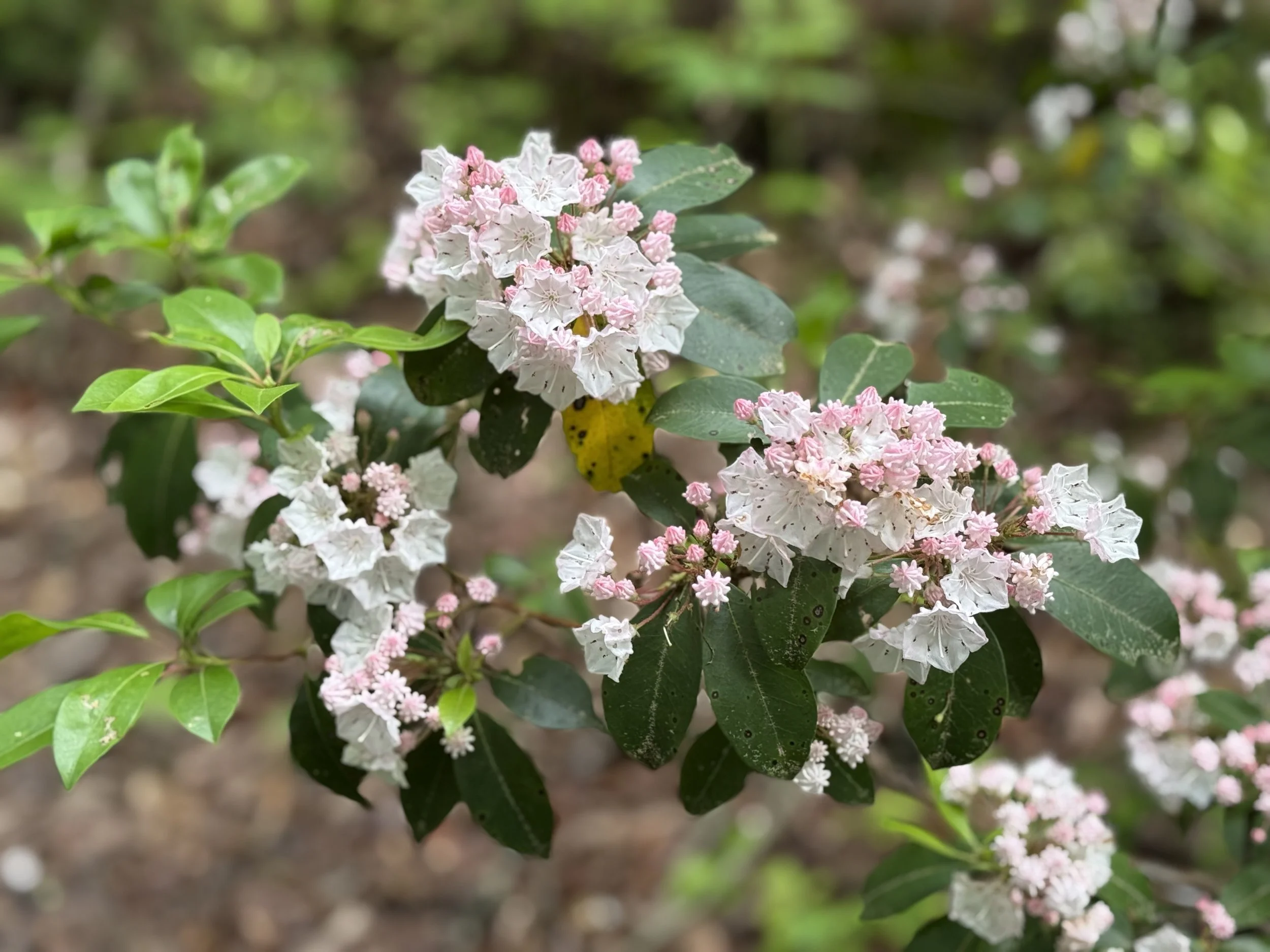
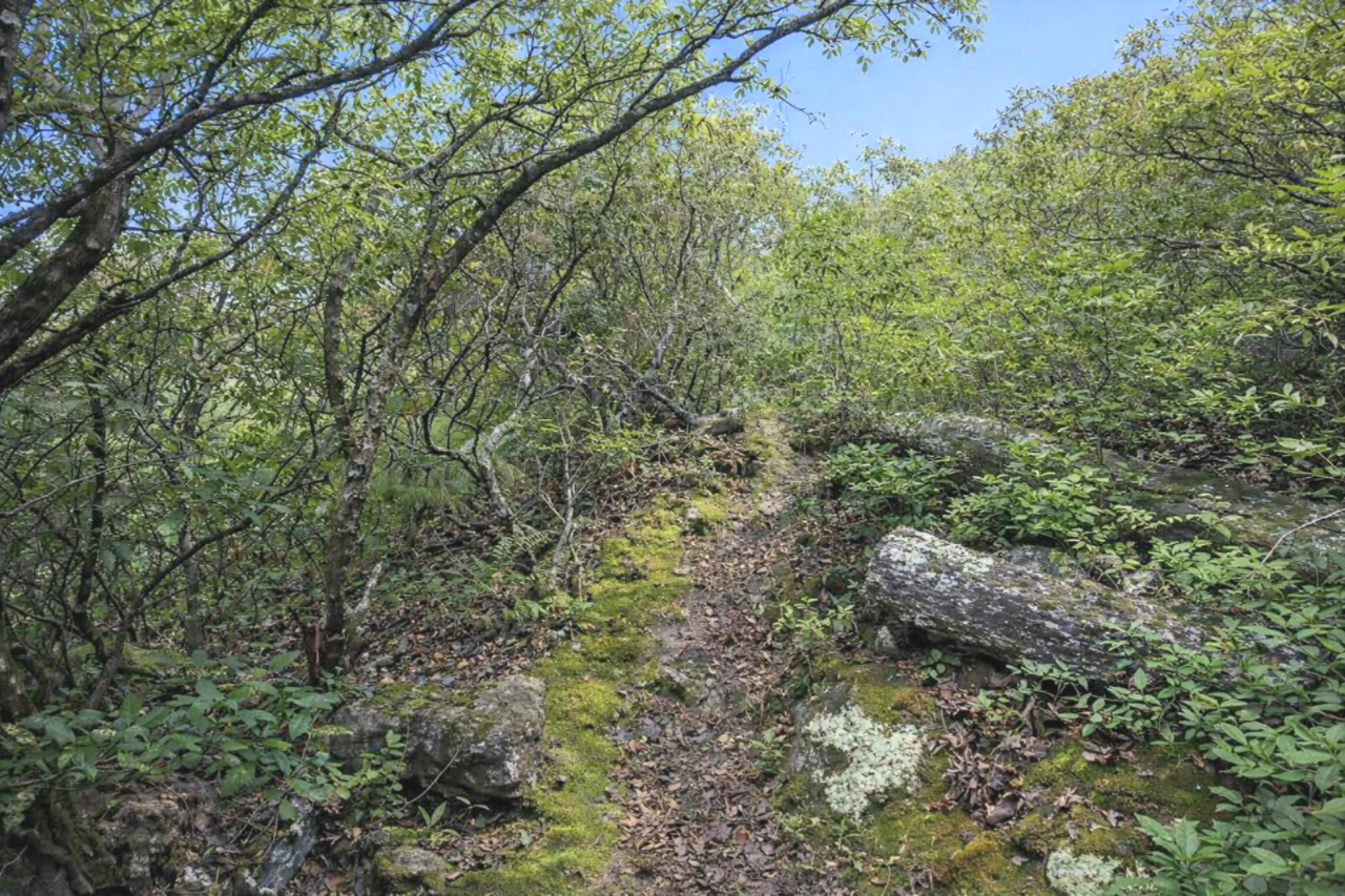
The Blackrock Trail is located on a south-facing slope, which promotes the dry, thin soils along the pedlar gneiss rock formations. Mountain laurel, blueberry, and rose azalea thrive in this harsh environment and are in bloom during June. The dominant tree species found along the trail are chestnut oak and table mountain pine; note the way the southwest winds shape these pines. It connects to the Pedlars Edge Trail. Use caution in winter.
The Blackrock Trail also ties into the Brimstone Trail and Pedlar’s Edge Trail.
Longer loop hike: Blackrock/Brimstone Loop hike is a 3.0-mile loop hike which goes through rocky forested trail to spectacular vistas. Details.
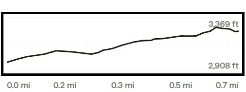
Trail Elevation via AllTrails.com.