Distance: 1.1 miles (one way).
Difficulty Level: moderate. 🟦
Time: 1 hour.
Elevation Change: 250 ft.
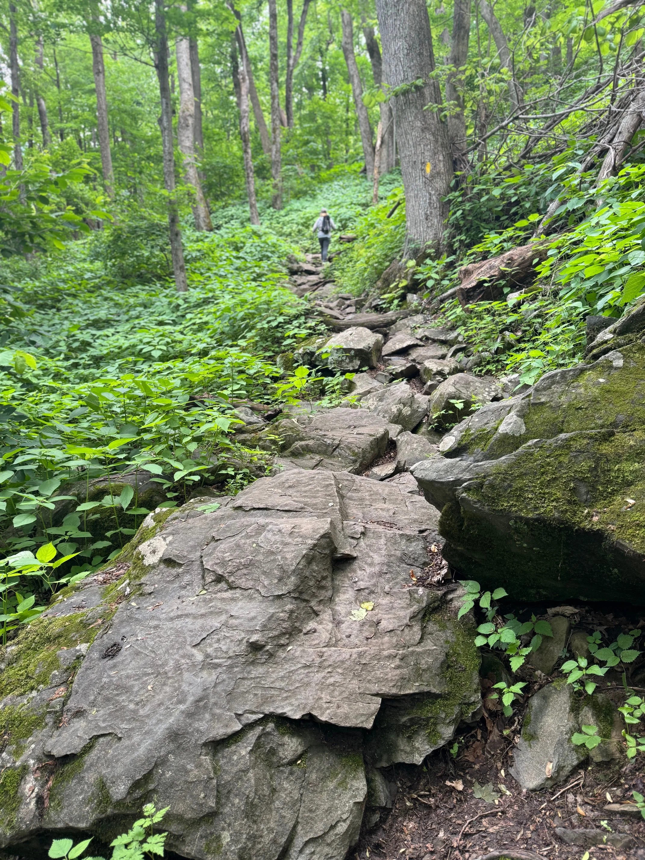
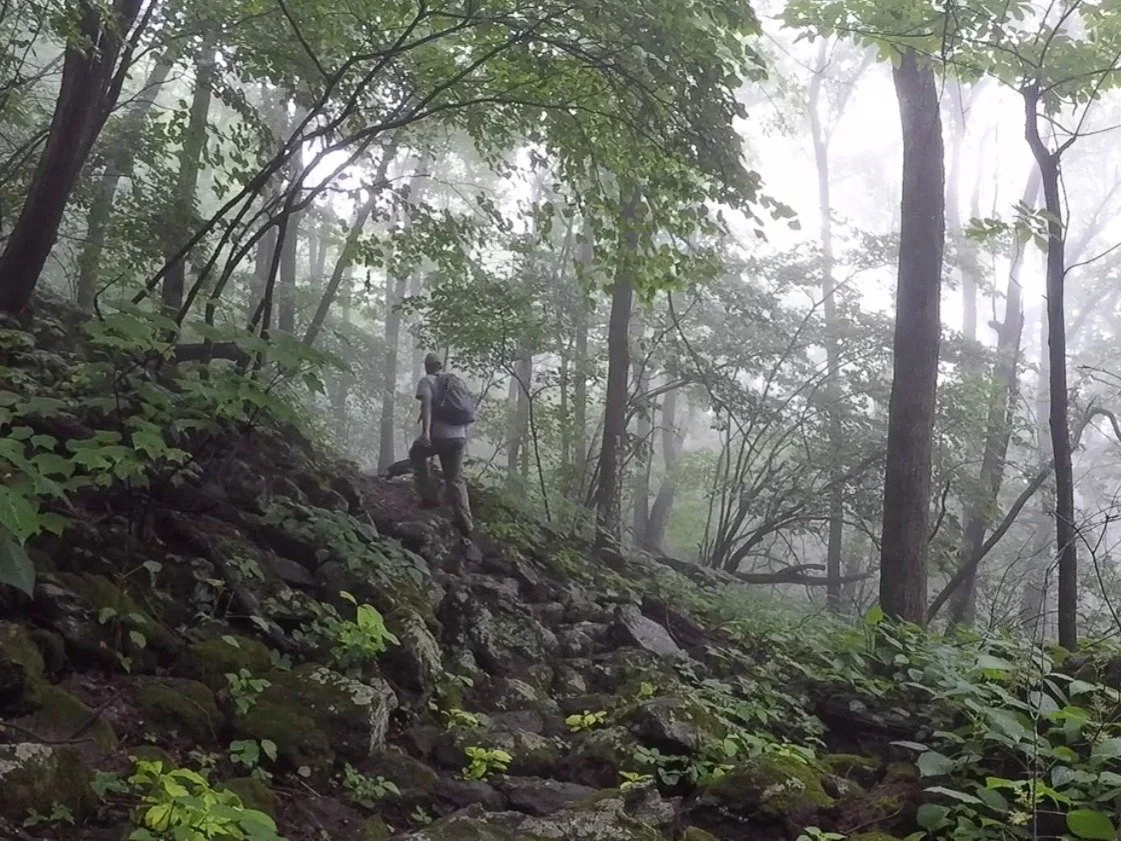
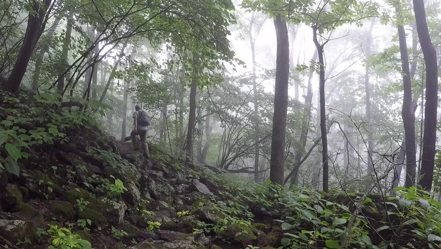
Key Features: rocky, wildflowers, stream.
Blaze Color: red.
Access: Closest access is the Chestnut Park Access Trail (limited shoulder parking).
Google Maps directions to parking area.
This ties into the Logger Alley Trail and the Shamokin Falls Trail.
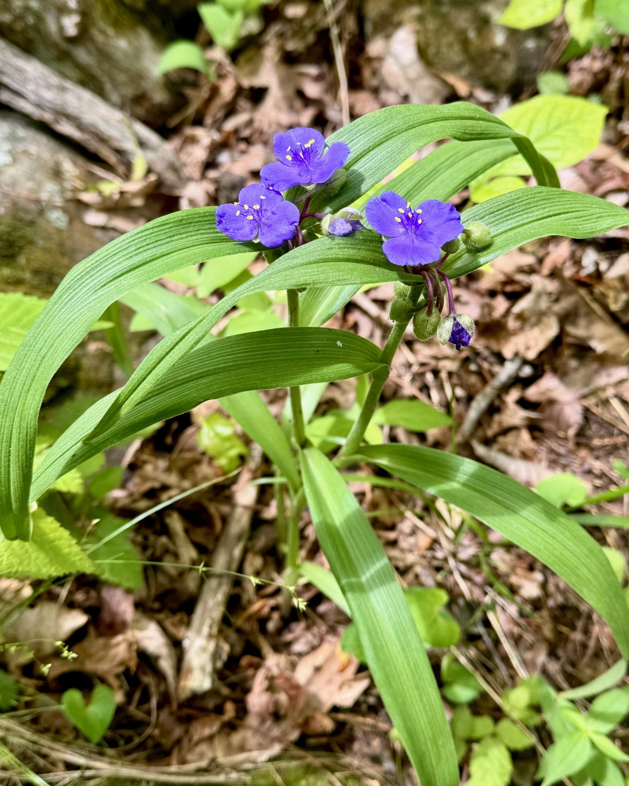
The Chestnut Springs Trail’s northern end leaves the stream and yellow birches and rhododendron of the Shamokin Gorge and enters an oak-hickory forest. As the trail enters south-facing territory, several small streams cross the trail. This southern end is ideal for spring wildflowers like bloodroot, wild ginger, and violets, all of which bloom in April. Watch for stinging nettle; long pants are recommended. Use caution in winter.
Longer Loop Hike: Chestnut Springs/Loopers Alley Loop is a 2.1-mile loop hike takes you to the beautiful Shamokin Springs Falls. While the overall elevation gain is moderate, there are a few somewhat steep/rocky sections, especially along the falls. Details.
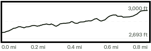
Trail Elevation via AllTrails.com.