Distance: 0.3 miles (one way).
Difficulty Level: moderate. 🟦
Time: 0.5 hours.
Elevation Change: 180 ft.
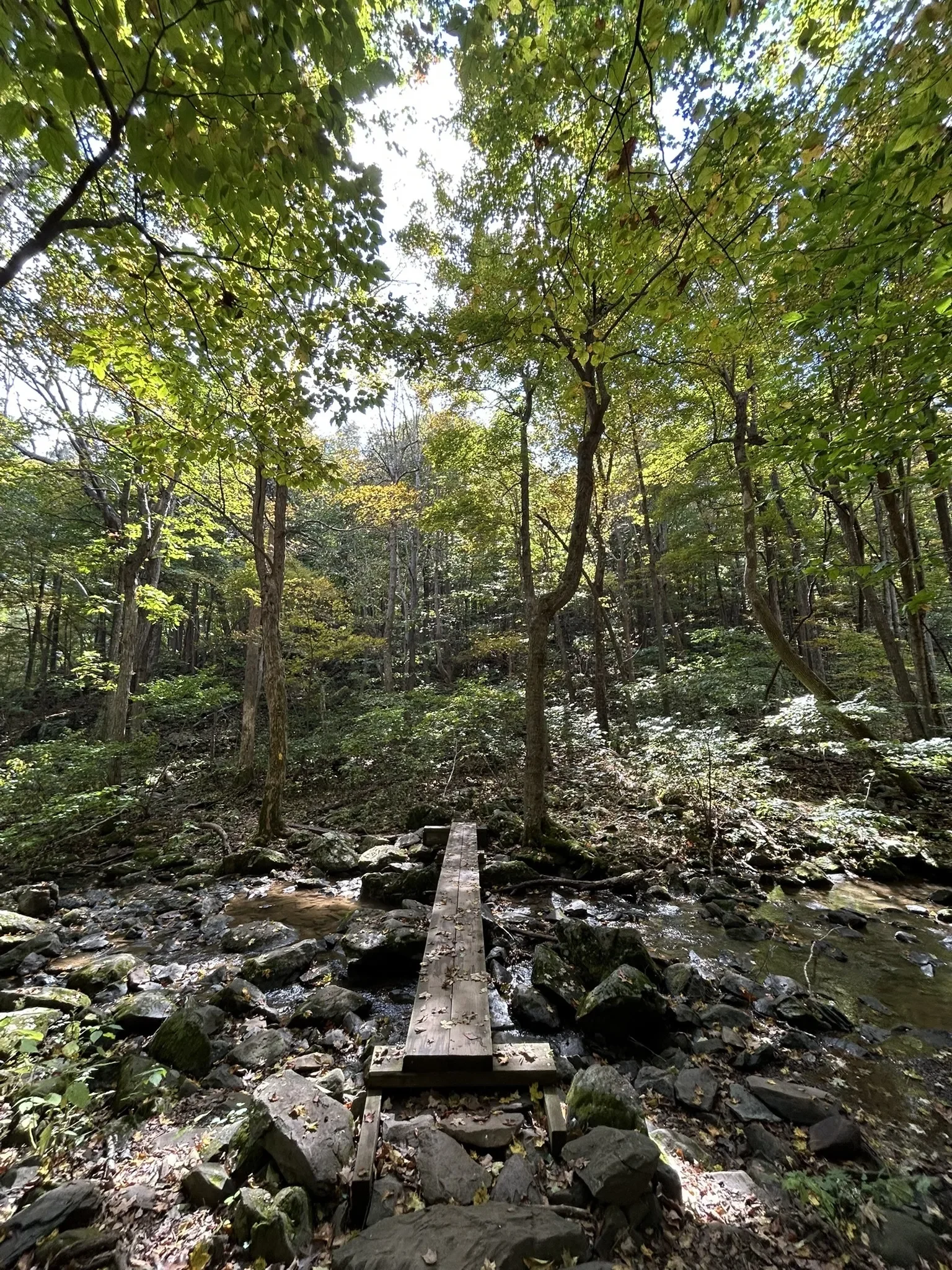
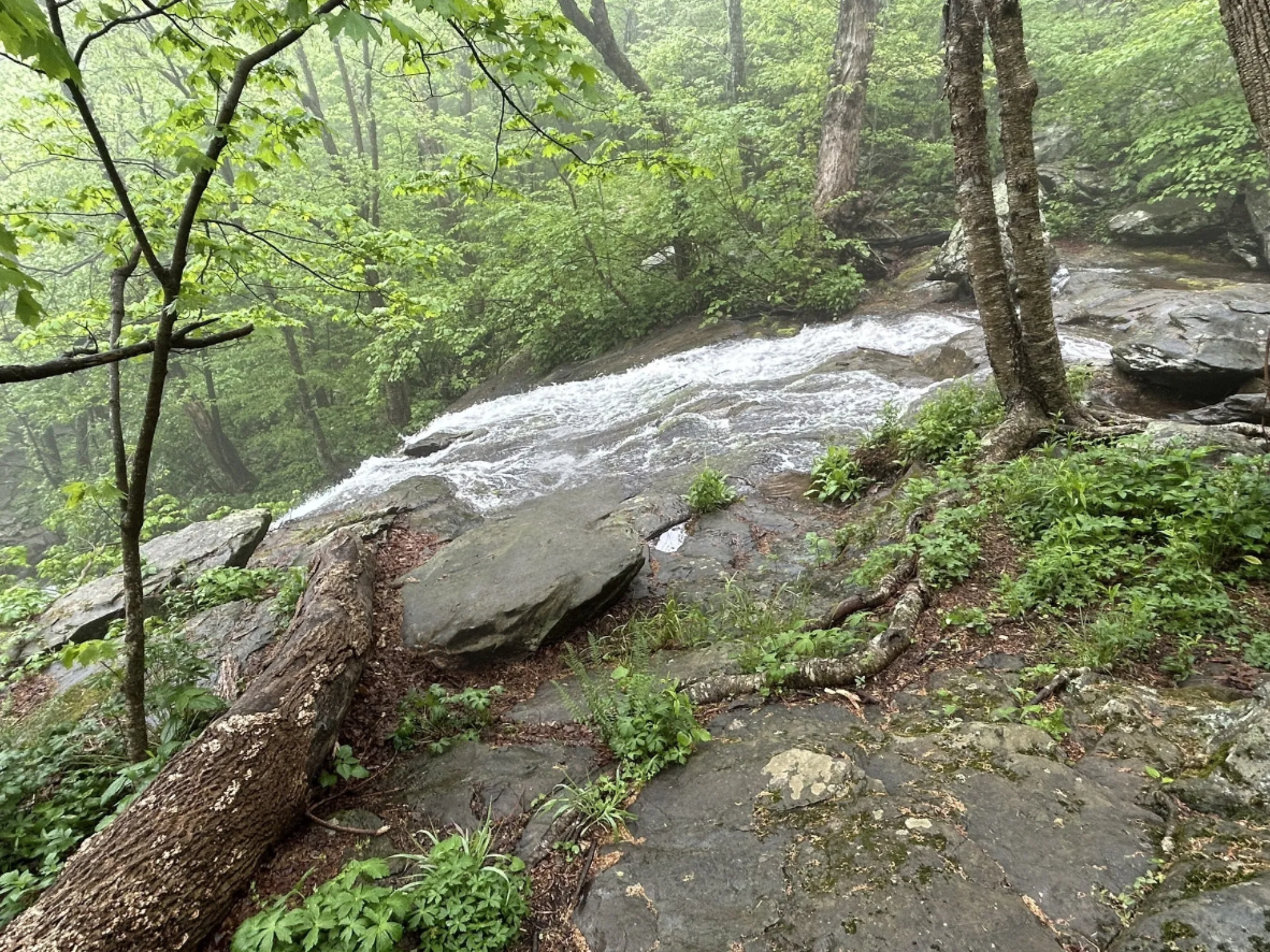
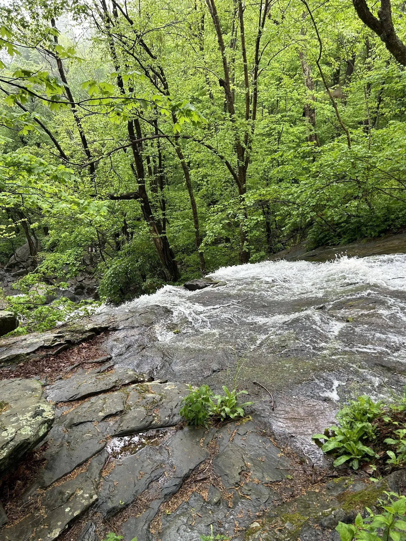
Key Features: waterfall, rocky.
Blaze Color: yellow.
Access: Closest access is from the Laurel Springs Access Trail on Laurel Springs Drive.
Google Maps directions to parking area.
The Morgans Loop Trail creates a loop trail around the Upper Shamokin waterfall for hikers using the Upper Shamokin Falls Trail. It features a good view of the top of the waterfall.
The Laurel Springs access trail provides a steep access back to the parking area.
Longer Loop Trail: Upper Shamokin Falls with the Morgan Loop (0.8-miles) is one of the most popular and beautiful hikes on Wintergreen’s mountain. For details, click here.
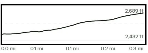
Trail Elevation via AllTrails.com.