Distance: 1.5 miles (one way).
Difficulty Level: easy to moderate. 🟦
Time: 1 hour.
Elevation Change: 240 ft gain/750 ft loss.
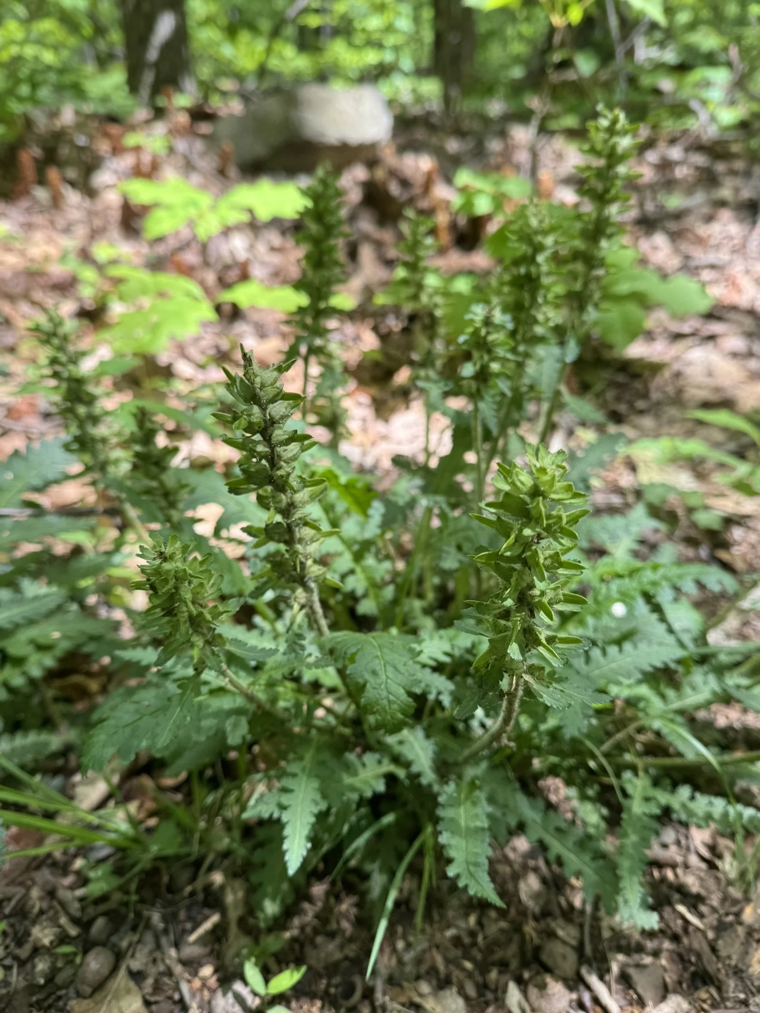
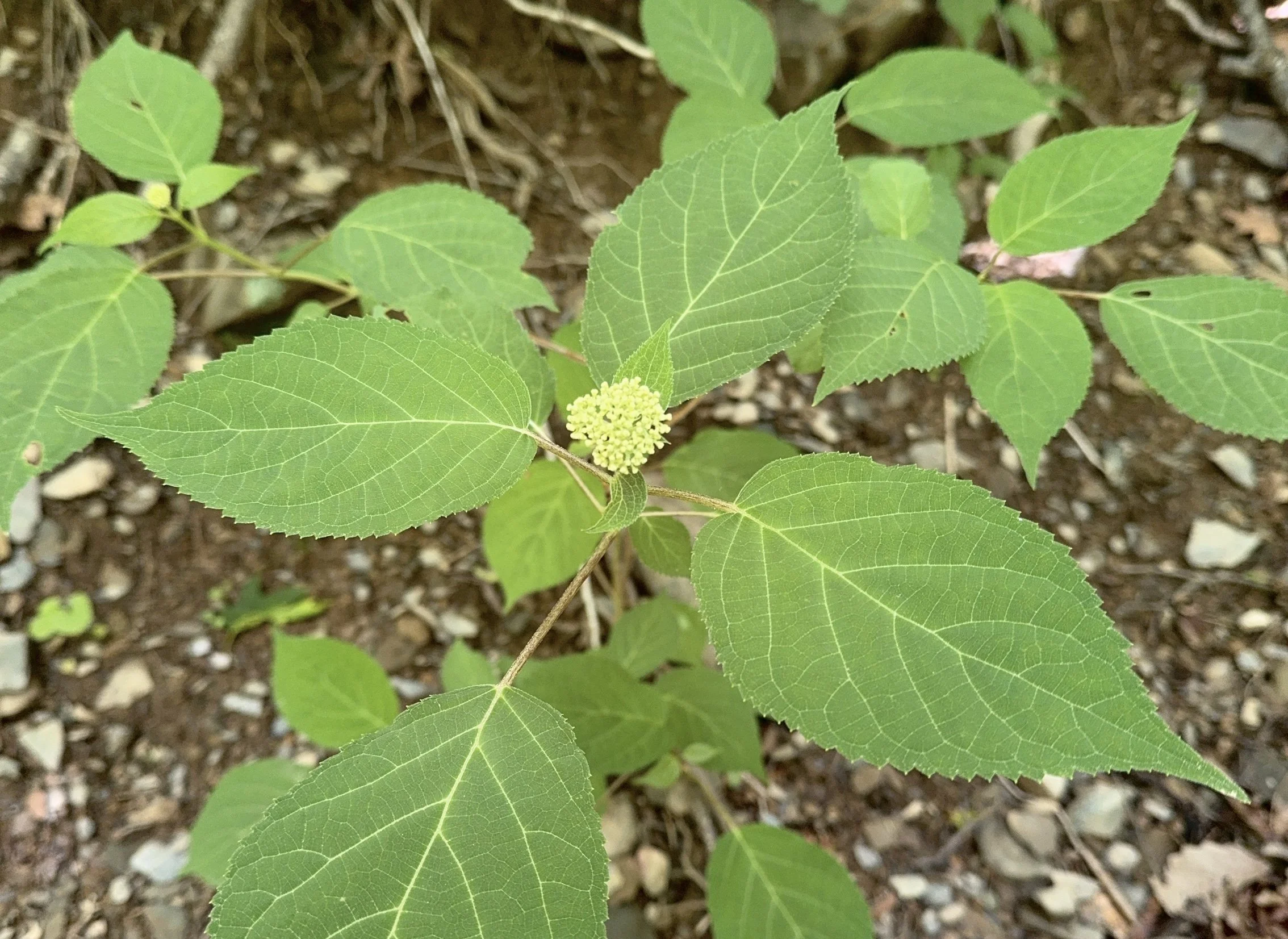
Key Features: wildflowers, birdwatching, family friendly.
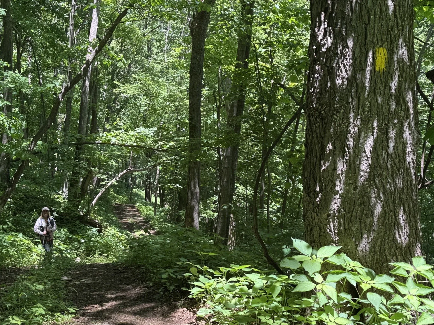
Blaze Color: Yellow/Red.
Access: The resort’s Discover Ridge parking area provides access at the southern end.
Google Maps directions to parking area.
Loggers Alley Trail also connects with Chestnut Spring Trail and Upper Shamokin Falls Trail.
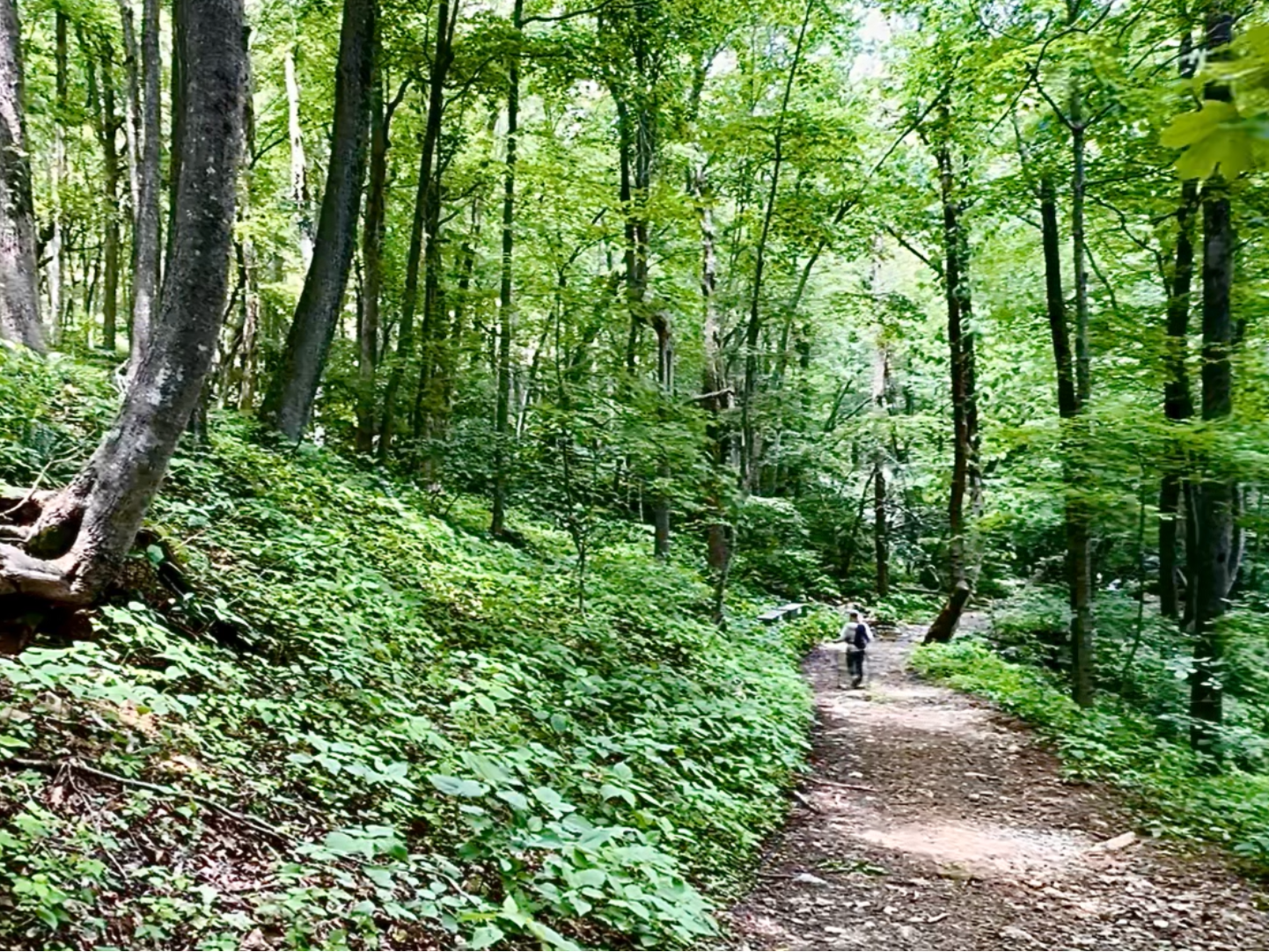
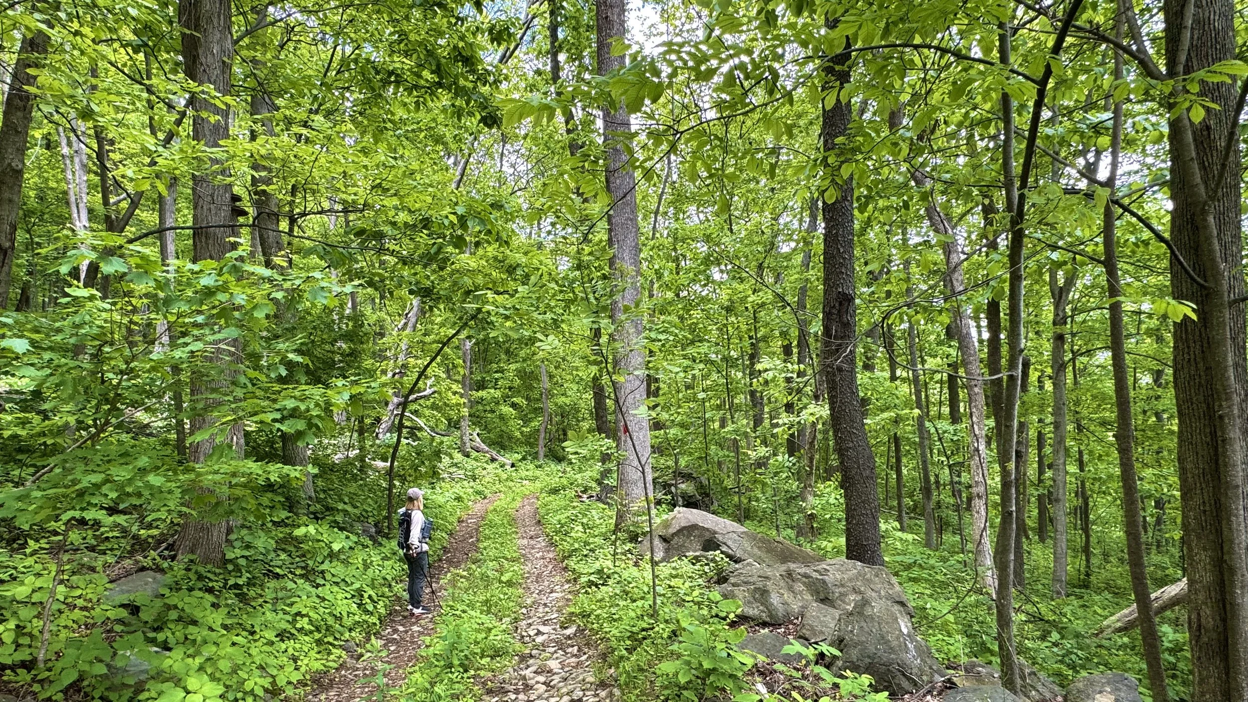
The Loggers Alley Trail is located on an old logging road. The upper trail (red) continues to the lower trail (yellow) to the Shamokin Gorge just below the falls. The trail is perfect for early morning birdwatching. The south end is closed during ski season.
Longer Loop Hike: Chestnut Springs/Loopers Alley Loop is a 2.1-mile loop hike takes you to the beautiful Shamokin Springs Falls. While the overall elevation gain is moderate, there are a few somewhat steep/rocky sections, especially along the falls. For details, click here.
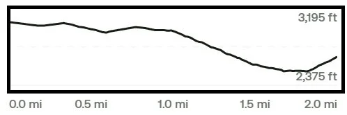
Trail Elevation via AllTrails.com.