Distance: 0.9 miles (one way).
Difficulty Level: easy. 🟢
Time: 1-2 hours.
Elevation Change: flat.
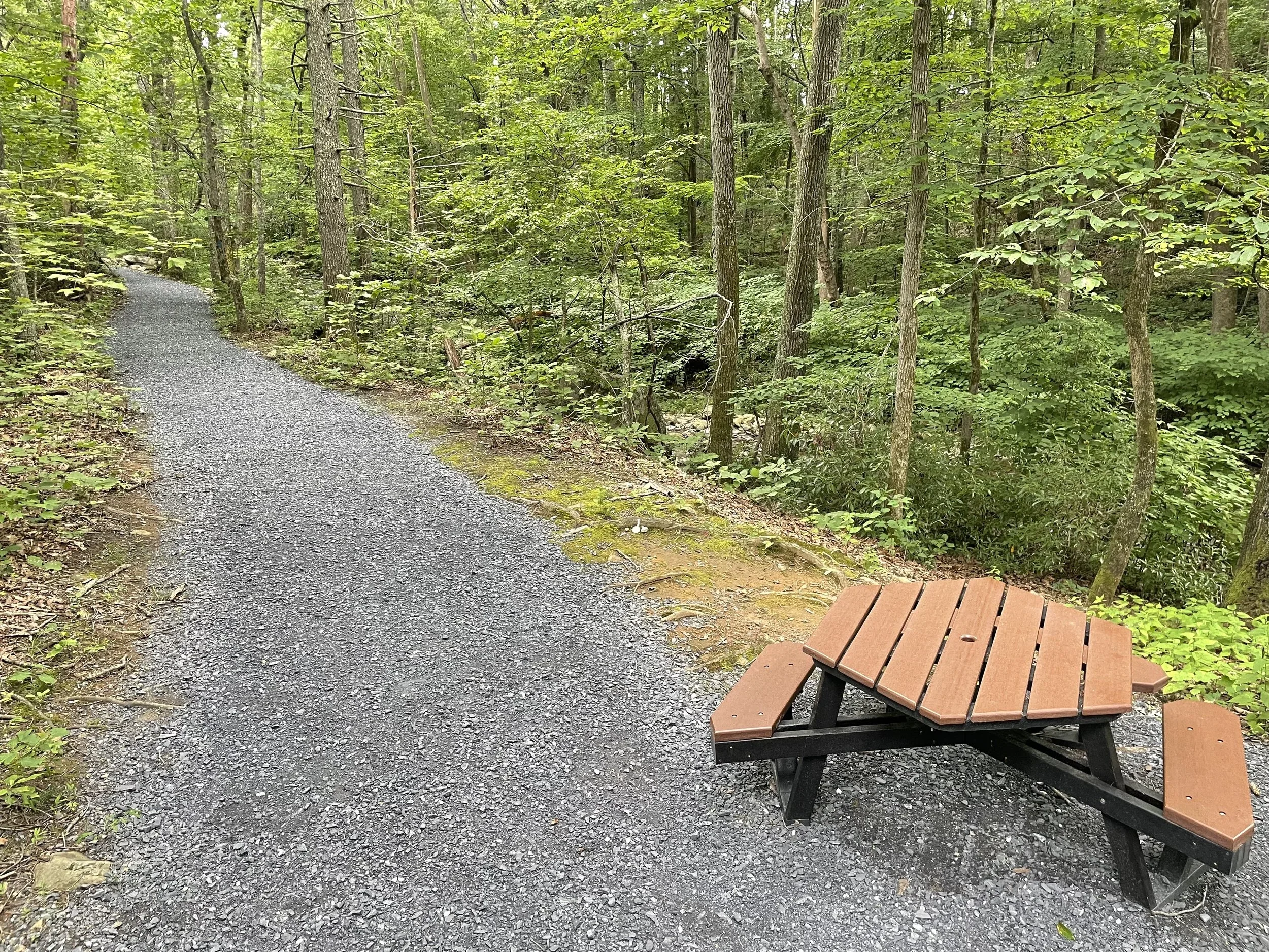
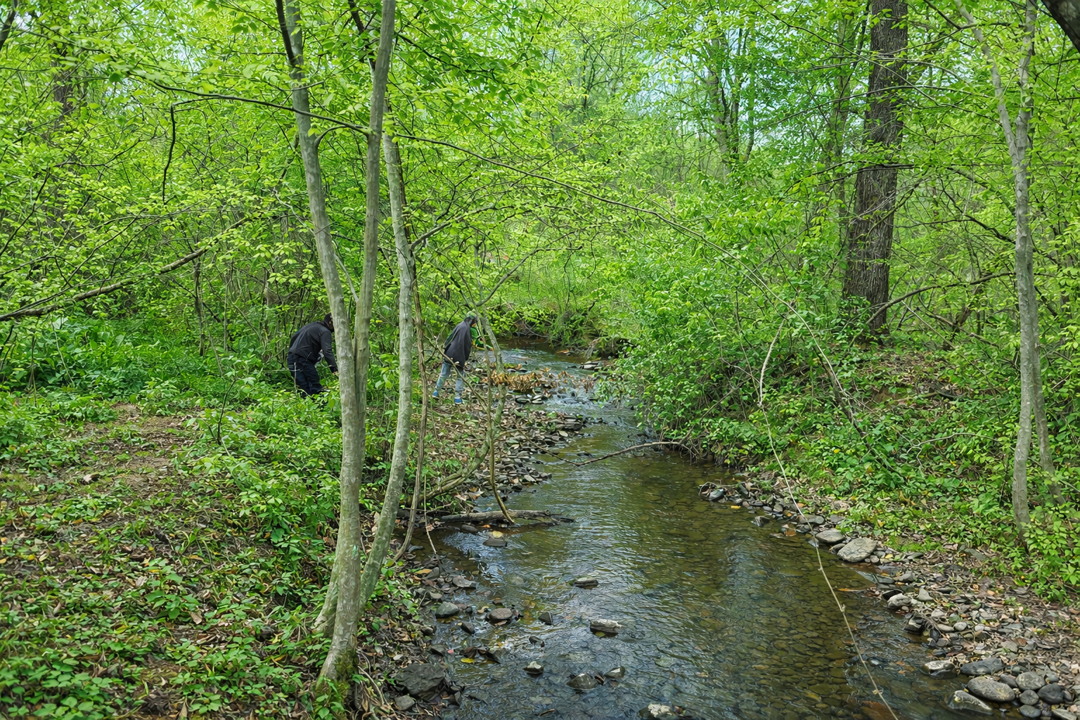
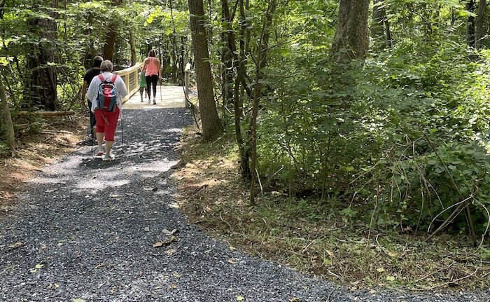
Key Features: streams, wildflowers, family friendly, paved, flat, picnic tables.
Blaze Color: blue.
Access: Parking is off Stoney Creek West, 1/10th of a mile past Creekside Close.
Google Maps directions to parking area.
The south end of the park trail ties into Wood Nettle Road.
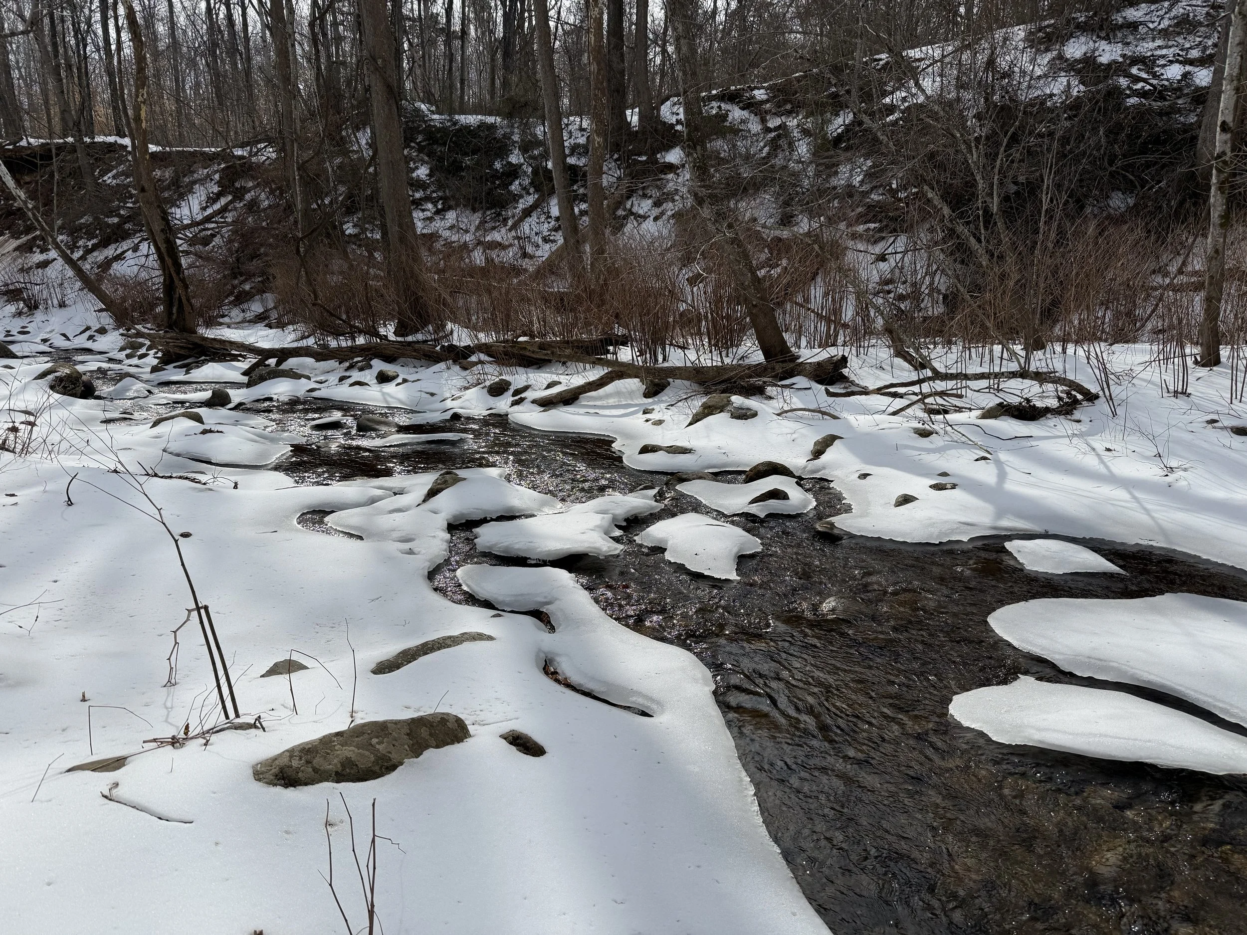
The Stoney Creek Park Trail follows Stoney Creek that rolls down Wintergreen mountain from Shamokin Falls.
The wide trail is paved with crushed rock. It is an excellent site for a leisurely stroll through the valley wilderness. Sycamore trees, American beech, and blackberries highlight the trail. Picnic tables and benches are placed throughout the park, which was completely renovated in 2022. Details.