Distance: 0.8 miles (one way).
Difficulty Level: difficult. ◆
Time: 1.0 hours.
Elevation Change: 330 ft.
Key Features: rocky, streams, challenging.
Blaze Color: red/yellow.
Access: Access the trail from the Old Appalachian Trail. Park at the Old AT Access on Laurel Springs Road.
Google Maps directions to parking area.
This trail ties into the Old Appalachian Trail, Upper Shamokin Falls Trail, and the Chestnut Springs Trail.
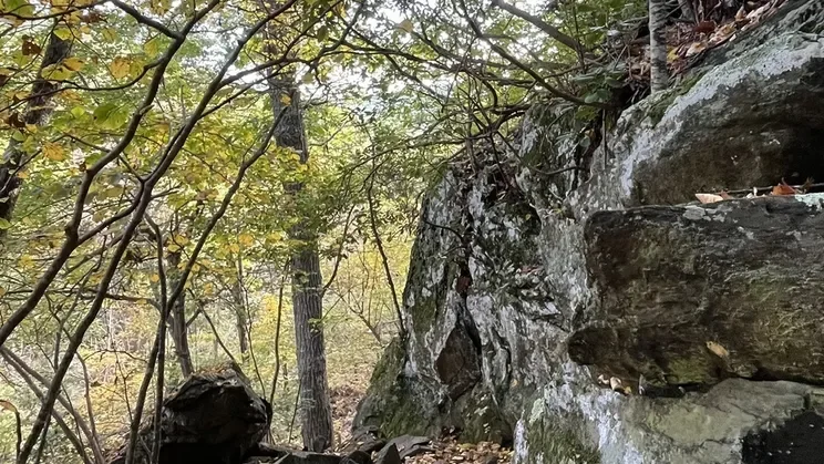
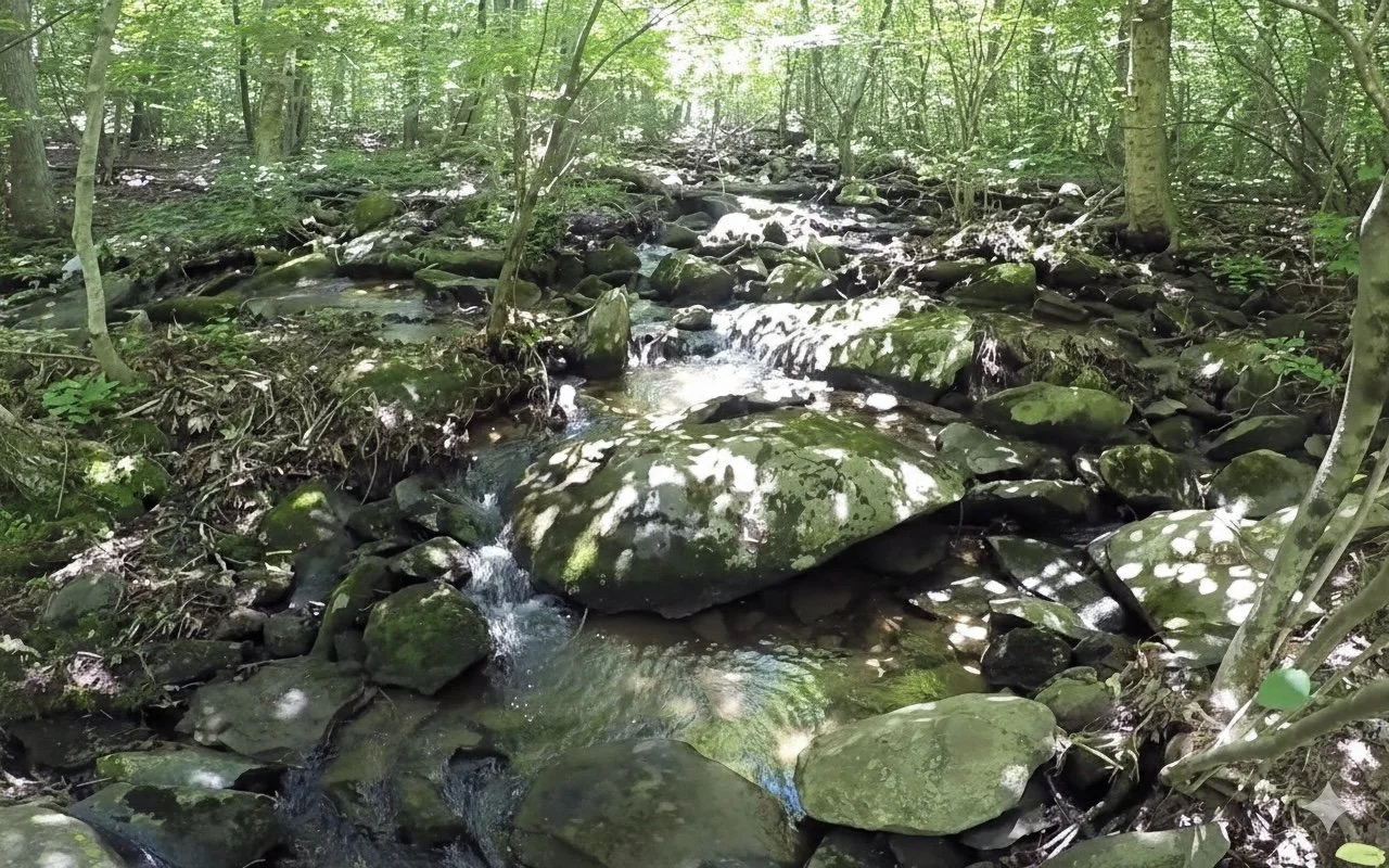
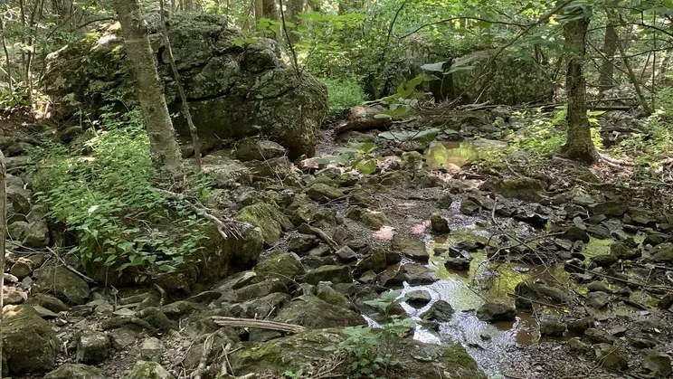
The Upper Shamokin Gorge Trail is one of the most beautiful and challenging hikes on the mountain.
The trail starts on Laurel Springs Drive near Wolftrap Lane where it follows and crosses the headwaters of Stoney Creek at several spots. At some places the water itself is invisible, but easily heard under the rocks. Stream life can be found on the undersides of rocks. Plant life is abundant all around. Use caution in winter.
Longer Hike: The Shamokin Falls via Shamokin Springs Nature Preserve is a 2.8 mile out-and-back hike which includes the Gorge trail and goes to the spectacular Upper Shamokin Falls. For details, click here.
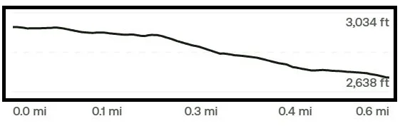
Trail Elevation via AllTrails.com.