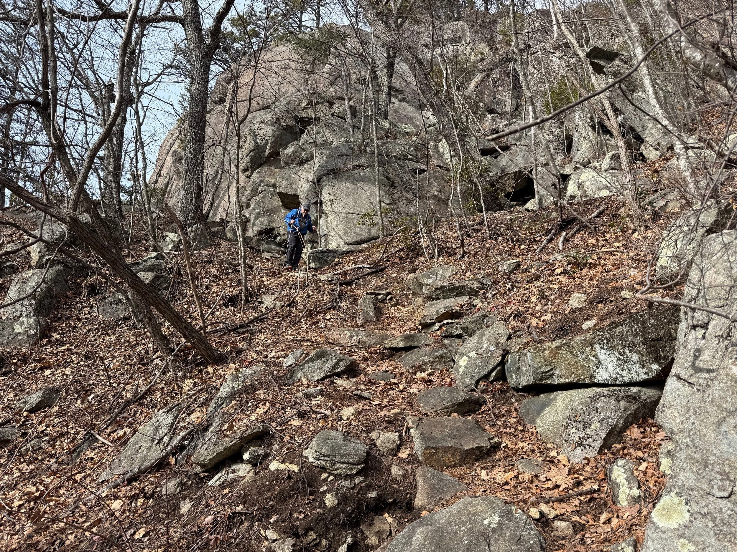
Distance: 0.8 miles (one way).
Difficulty Level: difficult. ◆
Time: 1 hour.
Elevation Change: 370 ft.
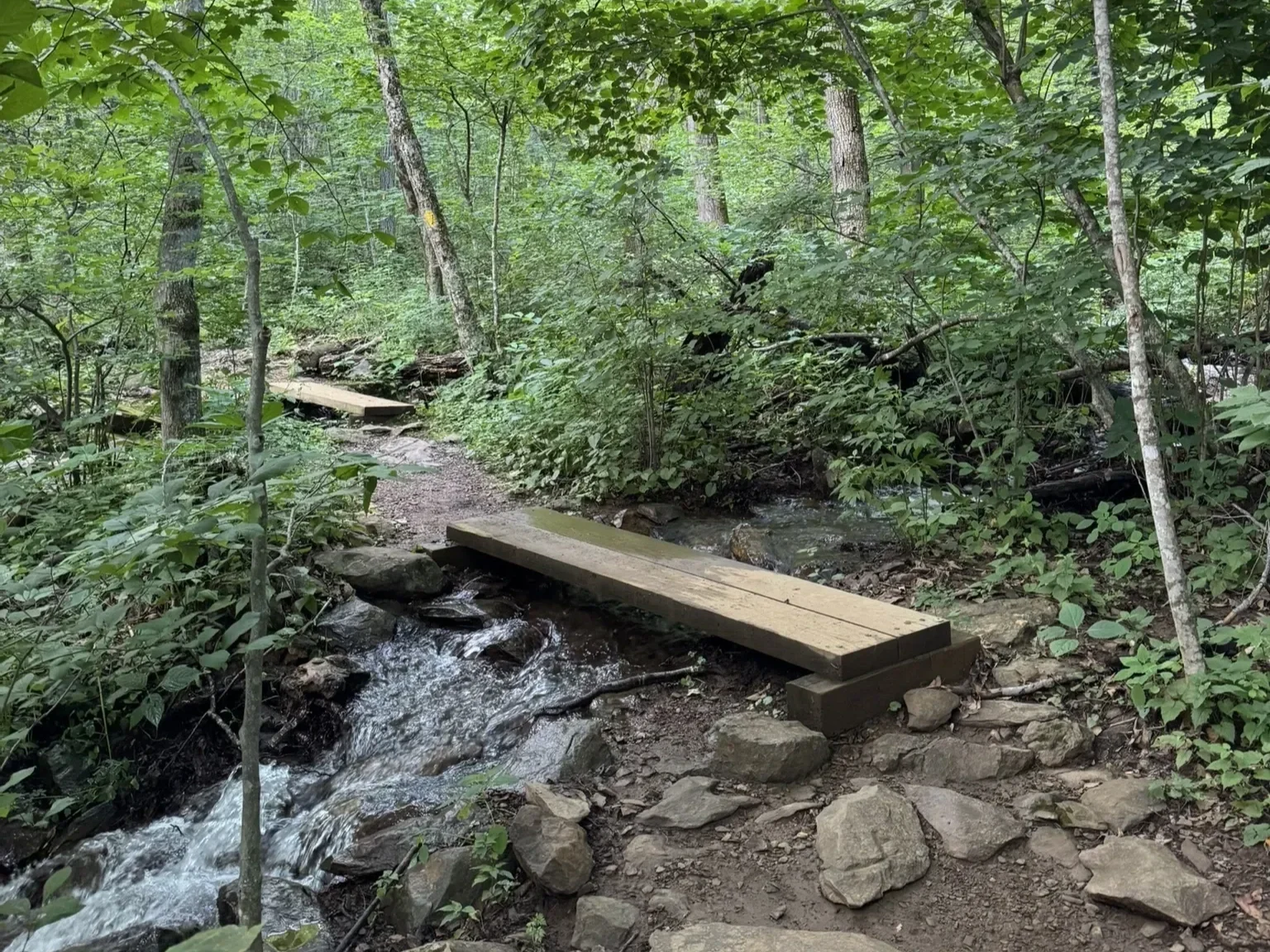
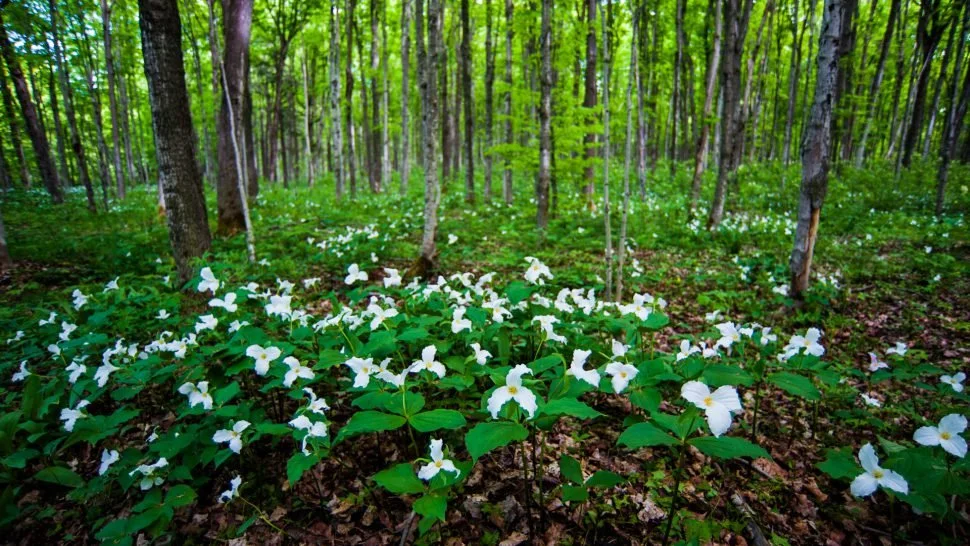
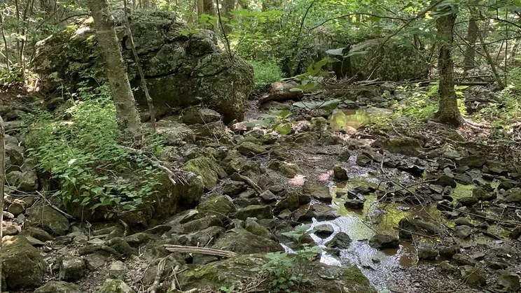
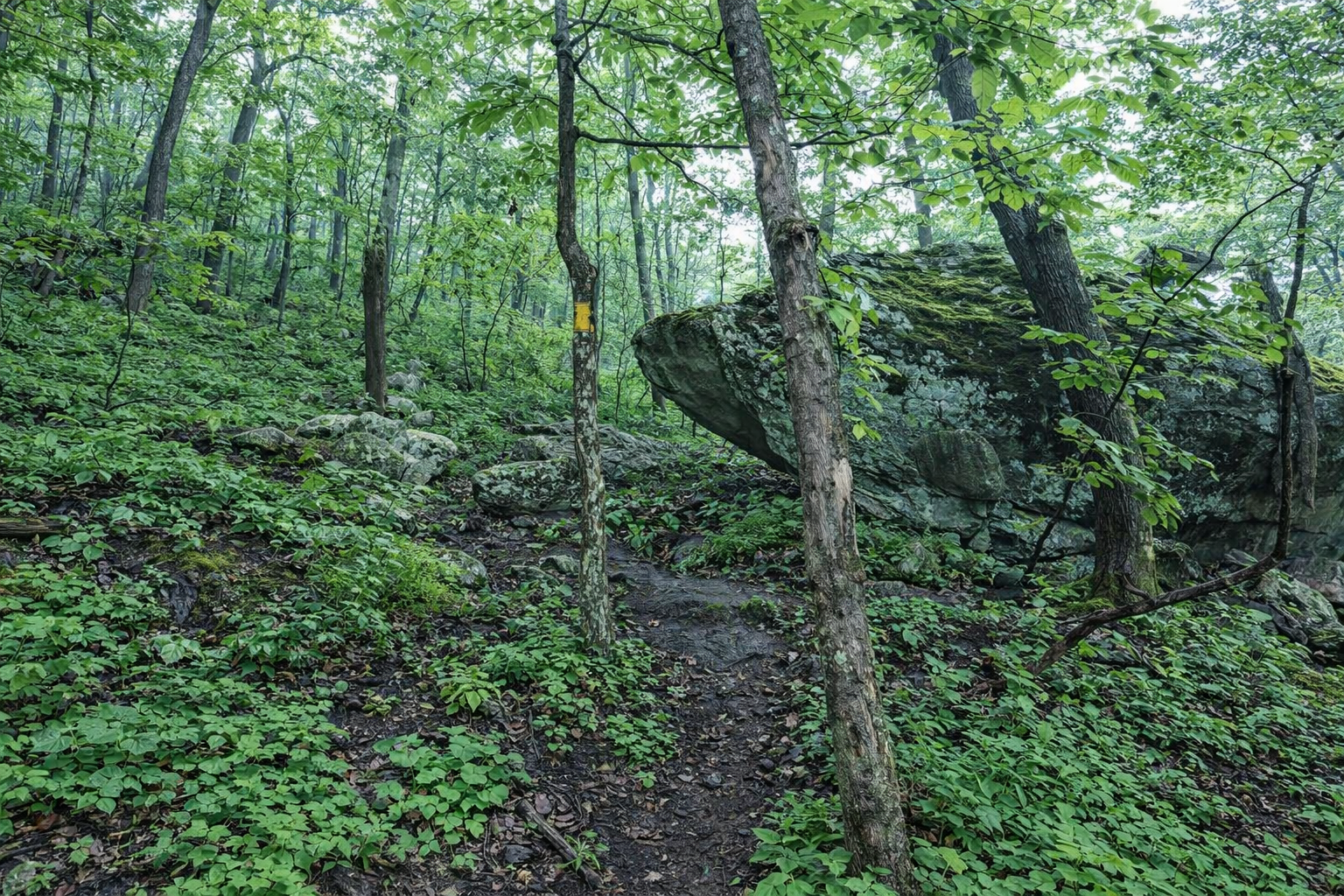
Key Features: rocky, wildflowers, geology.
Blaze Color: red.
Access: The closest access to the eastern end of the trail is from the 0.4-mile Pedlars Edge Access Trail off of Blackrock Circle. The closest access to the western edge is from Blackrock Park via the Plunge Trail.
• Google Maps directions to parking area on the western end.
• Google Maps directions to Blackrock Park.