Distance: 0.5 miles (one way).
Difficulty Level: easy to moderate. 🟦
Time: 0.5 hours.
Elevation Change: 10 ft. gain/200 ft. loss.
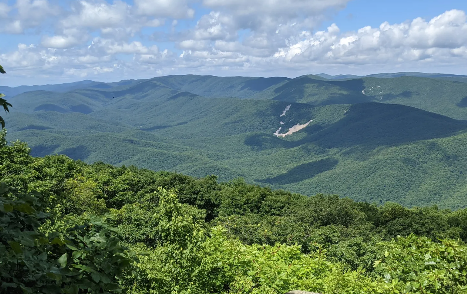
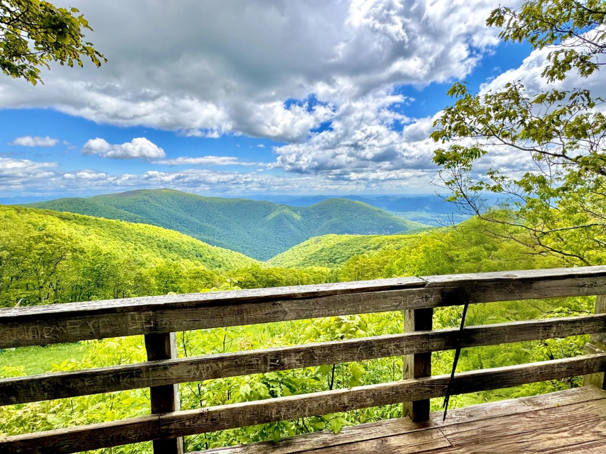
Key Features: viewpoint, easy access, stairs
Blaze Color: yellow.
Access: Parking is available at Wintergreen Resort’s Wintergarden parking lot. Parking and access is also at the Founders Overlook Access as well as the parking lots for Wintergreen Resort.
Google Maps directions to parking area.
Loggers Alley Trail and Access
Distance: 2.0 miles (one way).
Difficulty Level: easy to moderate. 🟦
Time: 1 hour.
Elevation Change: 240 ft gain/750 ft loss.
Key Features: wildflowers, birdwatching, family-friendly.
Blaze Color: Yellow/Red.
Access: Access at the southern end is at the Discover Ridge Parking area.
Google Maps directions to parking area.
Old Appalachian Trail
Distance: 3.0 miles (one way).
Difficulty Level: easy to moderate. 🟦
Time: 2-3 hours.
Elevation Change: 800 ft./260 ft.
Key Features: rocky, wildflowers, fungi, scenic views.
Blaze Color: red.
Access: The north end is accessed at the Old AT Access on Laurel Springs Road. The south end is accessed on Cedar Drive.
Google Maps directions to parking area at the north end.
Ravens Roost Park
Distance: less than 0.1 miles.
Difficulty Level: super easy. 🟢
Key Features: scenic view, family-friendly, birdwatching.
Blaze Color: yellow.
Access: Park at the end of Valley View Lane or Ravens Roost Lane.
Google Maps directions to parking area.
Shamokin Springs Nature Preserve Trail
Distance: 0.3 miles (loop trail).
Difficulty Level: easy. 🟢
Time: 0.5 to 1 hour.
Elevation Gain: 42 ft.
Key Features: streams, hiking, wildflowers, birding, family-friendly, forest, loop hike.
Blaze Color: yellow.
Access: The trail can be accessed from a small parking lot (4-6 cars) located at the corner of Blue Ridge Drive and Shamokin Springs Road.
Google Maps directions to parking area.
Trillium Field Trail
Distance: 0.1 miles.
Difficulty Level: easy. 🟢
Time: 15 minutes.
Elevation Change: none.
Key Features: wildflowers, family-friendly.
Blaze Color: yellow.
Access: Park at the Trillium House parking lot. On the corner of Wintergreen Drive and Devils Knob Loop.
Google Maps directions to parking area.
Upper Shamokin Falls Trail
Distance: 0.4 miles (one-way).
Difficulty Level: moderate. 🟦
Time: 0.5 hours.
Elevation Change: 240 ft.
Key Features: waterfalls, hiking, wildflowers, rocky.
Blaze Color: yellow.
Access: Closest access is on Laurel Springs Drive from the Laurel Springs Access Trail.
Google Maps directions to parking area.


