Distance: 0.7 miles (loop).
Difficulty Level: easy. 🟢
Time: 0.5 hour.
Elevation Change: 30 ft.
Key Features: wetlands, streams, family-friendly.
Blaze Color: blue.
Access: Parking lot off of Towhee Court.
Google Maps directions to parking area.

Distance: 0.7 miles (loop).
Difficulty Level: easy. 🟢
Time: 0.5 hour.
Elevation Change: 30 ft.
Key Features: wetlands, streams, family-friendly.
Blaze Color: blue.
Access: Parking lot off of Towhee Court.
Google Maps directions to parking area.
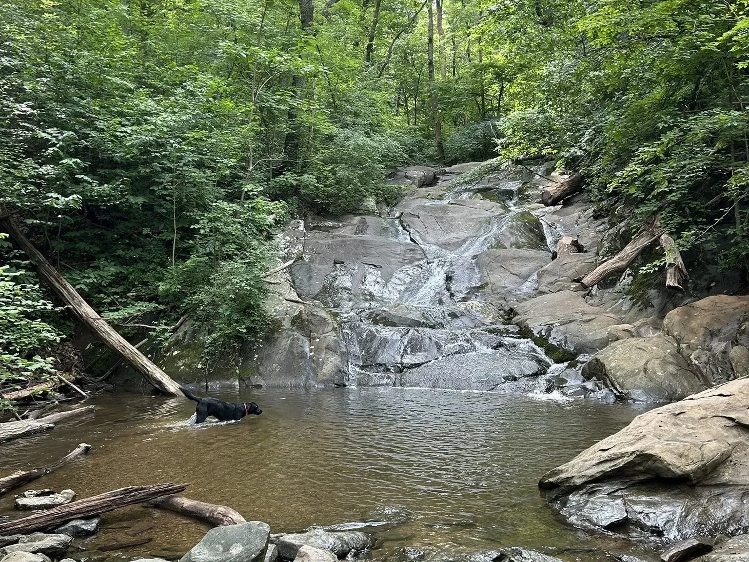
Distance: 1.7 miles (one way).
Difficulty Level: moderate. 🟦
Time: 1-2 hours.
Elevation Change: 700 ft.
Key Features: waterfall, streams, wildflowers, family friendly.
Blaze Color: blue.
Access: Parking at the end of Old Stoney Creek Road (at gate).
Google map directions to parking area.
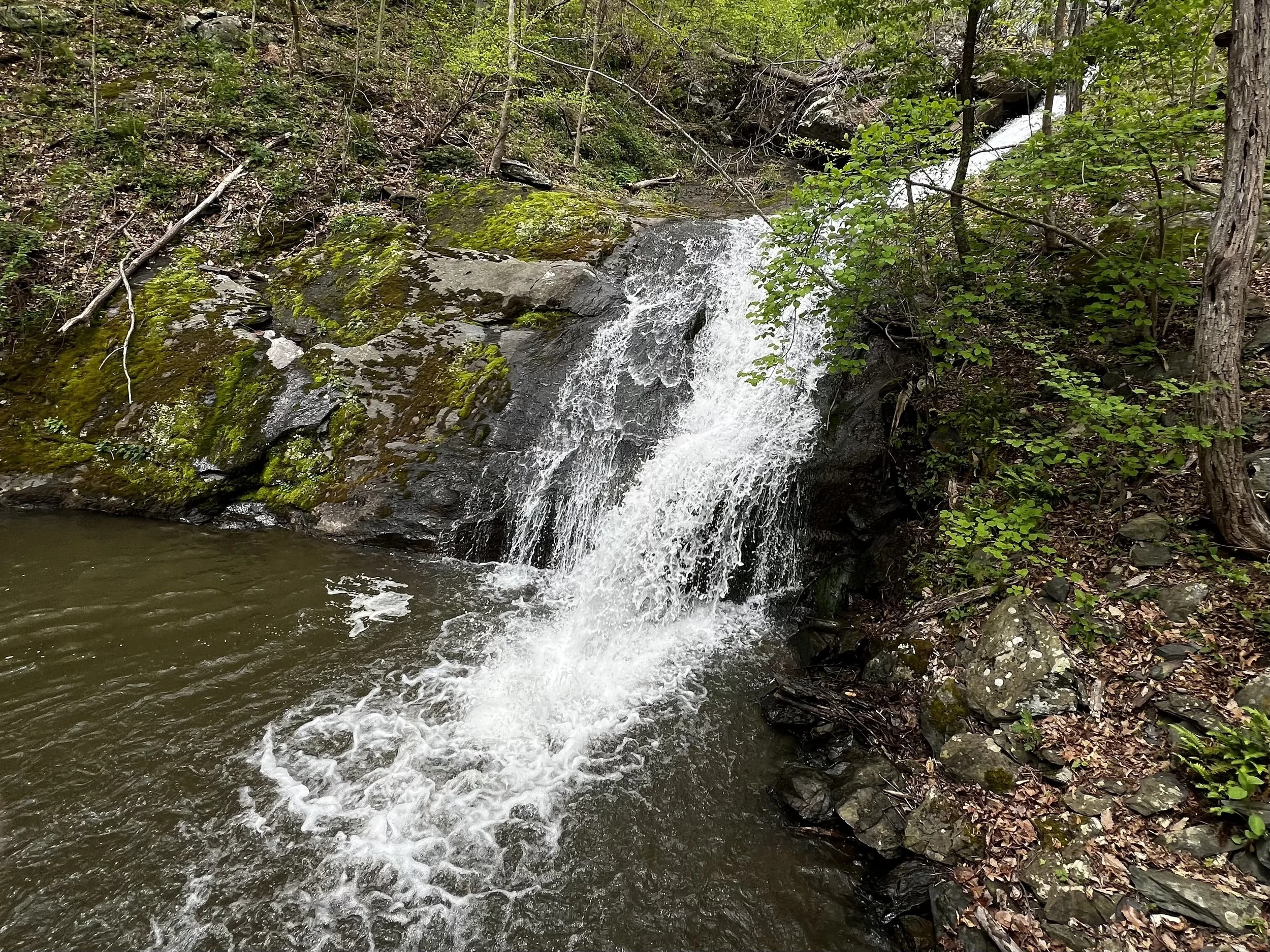
Distance: 0.6 miles (one way).
Difficulty Level: moderate. 🟦
Time: 0.5 hour.
Elevation Change: 300 ft.
Key Features: waterfall, streams, family-friendly.
Blaze Color: blue.
Access: Parking on Pauls Creek Court.
Google Maps directions to parking area.
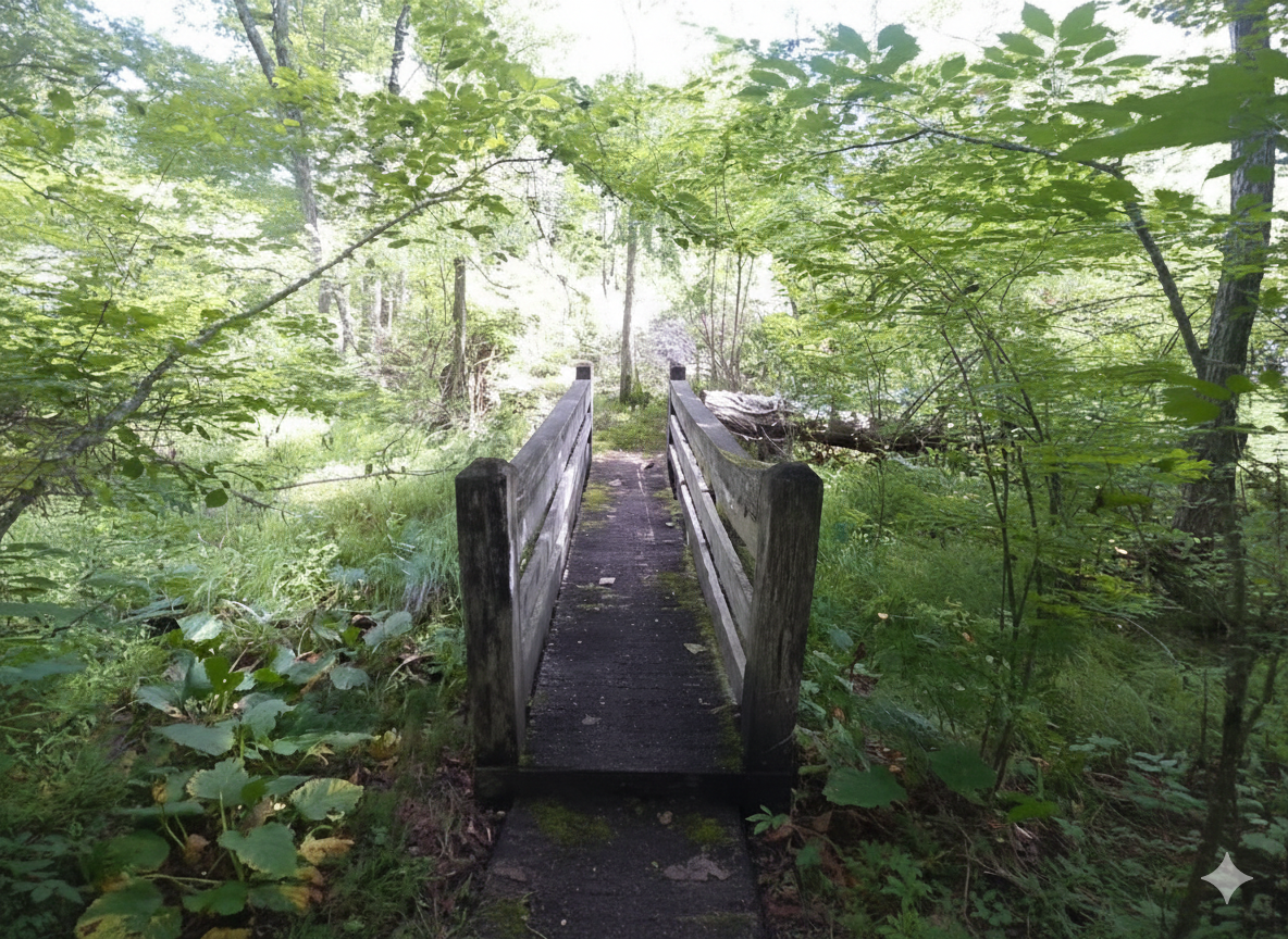
Distance: 0.9 miles (one way).
Difficulty Level: easy. 🟢
Time: 1-2 hours.
Elevation Change: flat.
Key Features: streams, wildflowers, family friendly, paved, flat, picnic.
Blaze Color: blue.
Access: Parking is off of Stoney Creek West, 1/10th of a mile past Creekside Close on the left side of the road.
Google Maps directions to parking area.