Distance: 0.7 miles (loop).
Difficulty Level: easy. 🟢
Time: 0.5 hour.
Elevation Change: 30 ft.
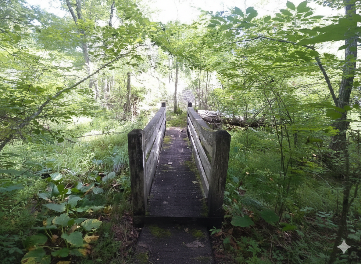
Key Features: wetlands, streams, family-friendly.
Blaze Color: blue.
Access: Parking lot off of Towhee Court.
Google Maps directions to parking area.

Distance: 0.7 miles (loop).
Difficulty Level: easy. 🟢
Time: 0.5 hour.
Elevation Change: 30 ft.
Key Features: wetlands, streams, family-friendly.
Blaze Color: blue.
Access: Parking lot off of Towhee Court.
Google Maps directions to parking area.
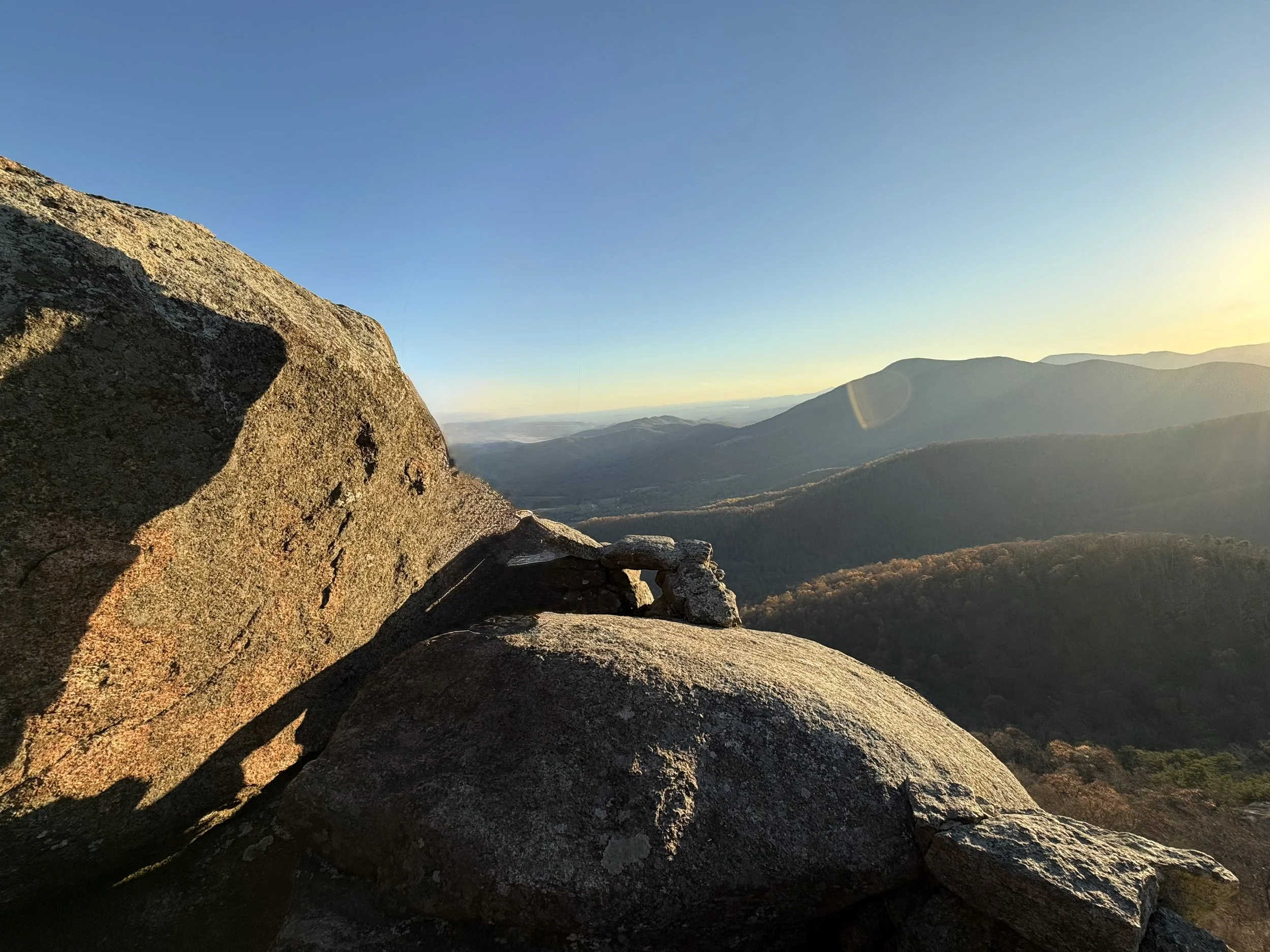
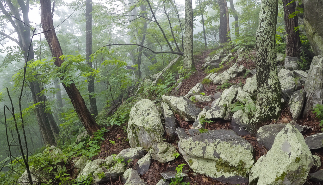
Distance: 0.2 miles (one way).
Difficulty Level: moderately difficult. ◆
Time: 30 minutes.
Elevation Change: 200 ft.
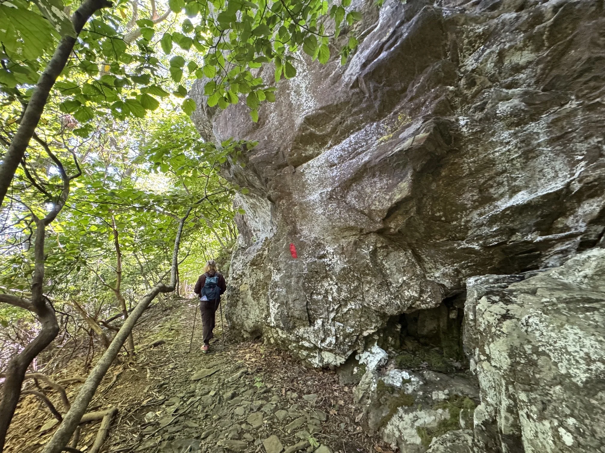
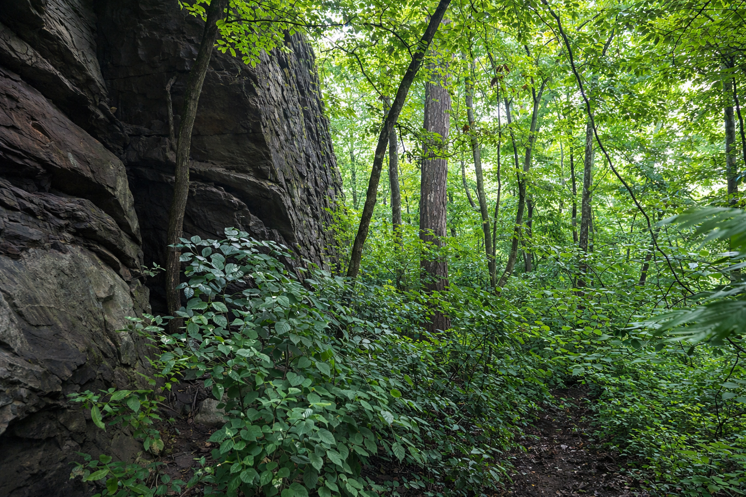
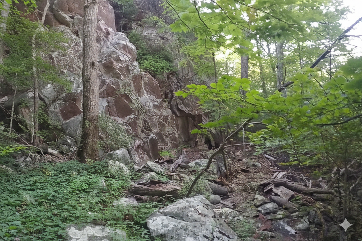
Key Features: rocky, rock scramble, scenic views, geology.
Blaze Color: yellow.
Access: Start from Blackrock Park.
Google Maps directions to Blackrock Park parking lot.
Distance: 0.8 miles (one way).
Difficulty Level: difficult. ◆
Time: 1 hour.
Elevation Change: 370 ft.
Key Features: rocky, wildflowers, geology.
Blaze Color: red.
Access: The closest access to the eastern end of the trail is from the 0.4-mile Pedlars Edge Access Trail off of Blackrock Circle. The closest access to the western edge is from Blackrock Park via the Plunge Trail.
• Google Maps directions to parking area on the western end.
• Google Maps directions to Blackrock Park.
Distance: 0.8 miles (one way).
Difficulty Level: most difficult. ◆◆
Time: 1.5 hrs.
Elevation Change: 300 ft.
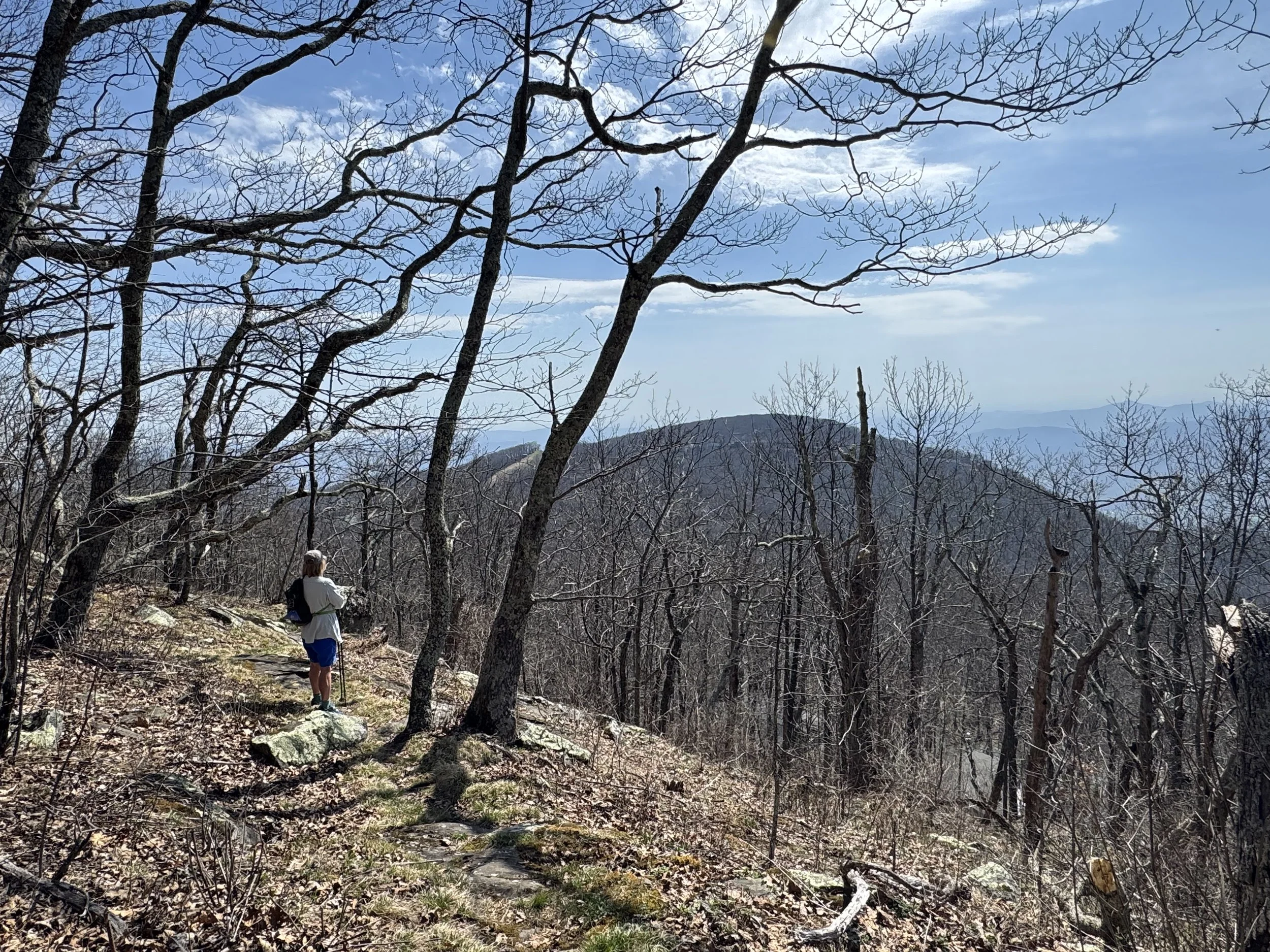
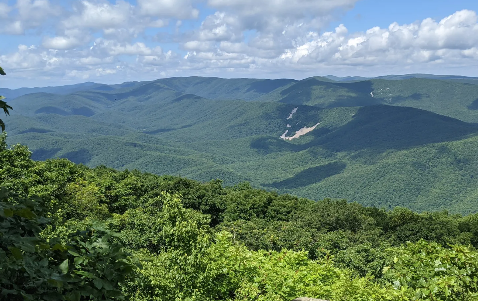
Key Features: scenic view, rocky, steep.
Blaze Color: red.
Access: Closest access is from the Three Ridges overlook parking on Blackrock Road.
Google Maps directions to parking area.
Distance: 0.7 miles (one way).
Blaze Color: yellow.
Difficulty Level: moderate. 🟦
Elevation Change: 580 ft.
Time: 1 hour.
Key Features: scenic vista, wildflowers, rocky, forest.
Access: Parking is at the resort’s Discovery Center parking lot.
Google Maps directions to parking area.
Distance: 1.3 miles (one way).
Difficulty Level: moderate to difficult. ◆
Time: 1 to 1.5 hours.
Elevation Change: 30 ft./600 ft.
Key Features: rocky, scenic view, woodland.
Blaze Color: red.
Access: Cedar Cliff parking is at the resort’s Discovery Center/ Snow Tubing parking lot.
Google Maps directions to parking area.
Distance: 1.1 miles (one way).
Difficulty Level: moderate. 🟦
Time: 1 hour.
Elevation Change: 250 ft.
Key Features: rocky, wildflowers, stream.
Blaze Color: red.
Access: Closest access is the Chestnut Park Access Trail (limited shoulder parking).
Google Maps directions to parking area.
Distance: 0.6 miles (one way).
Difficulty Level: moderate. 🟦
Time: 0.5 - 1 hour.
Elevation Change: 200 ft.
Key Features: rocky, winter views, highest elevation, birdwatching.
Blaze Color: red/yellow.
Access: Park at the Devils Knob Overlook.
Google Maps directions to parking area.
Distance: 1.1 miles (one-way).
Difficulty Level: moderately difficult. ◆
Time: 0.5 -1 hours.
Elevation Change: 510'gain/260’loss.(starting at Fortunes Ridge Drive)
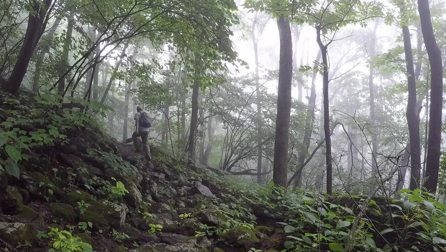
Key Features: waterfalls, wildflowers, dense forest, streams.
Blaze Color: red.
Access: Closest access is from the intersection of Fortunes Ridge Dr and Wintergreen Dr. (Limited parking, 1-2 cars)
Google Maps directions to parking area.
Distance: 0.6 miles (one way).
Difficulty Level: moderate. 🟦
Time: 0.5 - 1.0 hours.
Elevation Change: 370 ft.
Key Features: rock outcroppings, wildflowers, streams, woodlands.
Blaze Color: yellow.
Access: Parking is at the resort’s Discovery Center/Snow Tubing parking lot.
Google Maps directions to parking area.
Distance: 0.5 miles (one way).
Difficulty Level: easy to moderate. 🟦
Time: 0.5 hours.
Elevation Change: 10 ft. gain/200 ft. loss.
Key Features: viewpoint, easy access, stairs
Blaze Color: yellow.
Access: Parking is available at Wintergreen Resort’s Wintergarden parking lot. Parking and access is also at the Founders Overlook Access as well as the parking lots for Wintergreen Resort.
Google Maps directions to parking area.
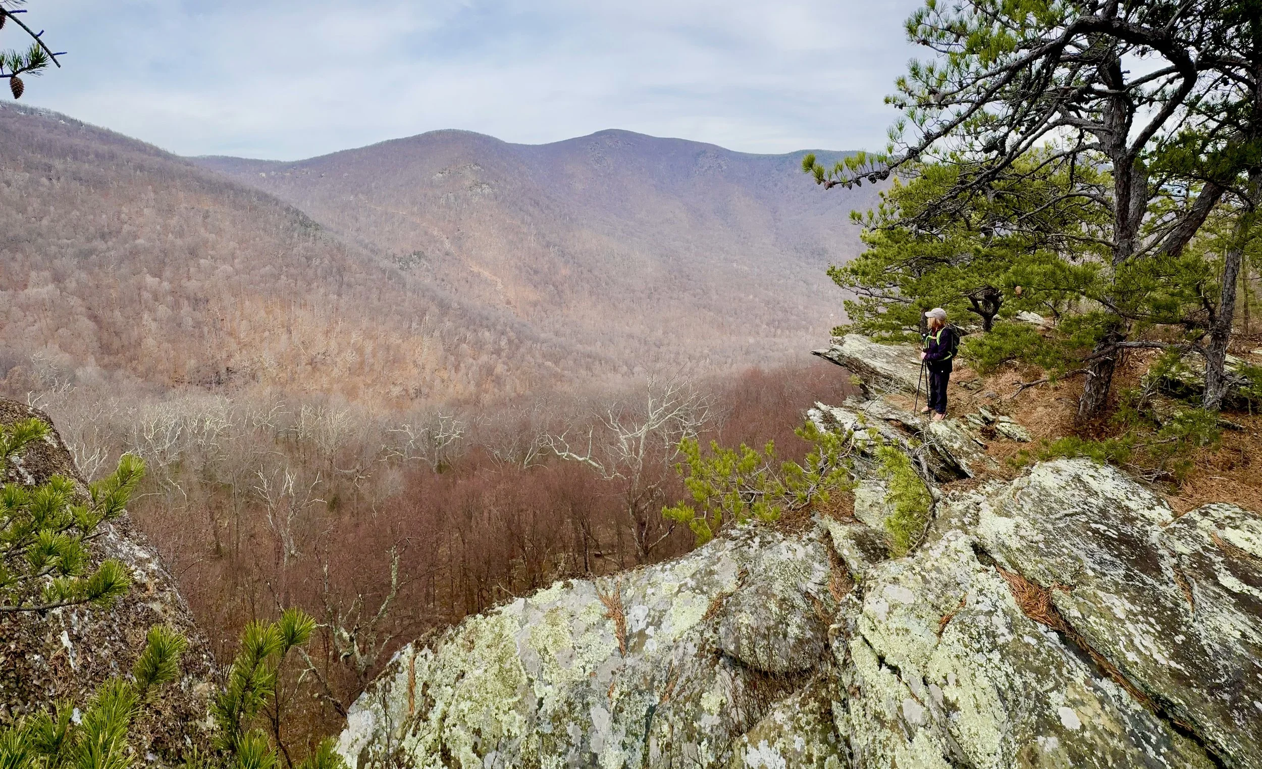
Distance: 1.6 miles (loop).
Difficulty Level: moderate to difficult. 🟦
Time: 1-2 hours.
Elevation Change: 410 ft.
Key Features: rocky, wildflowers, loop hike.
Blaze Color: yellow.
Access: Access from the Wintergreen Resort Lot F.
Google Maps directions to parking area.
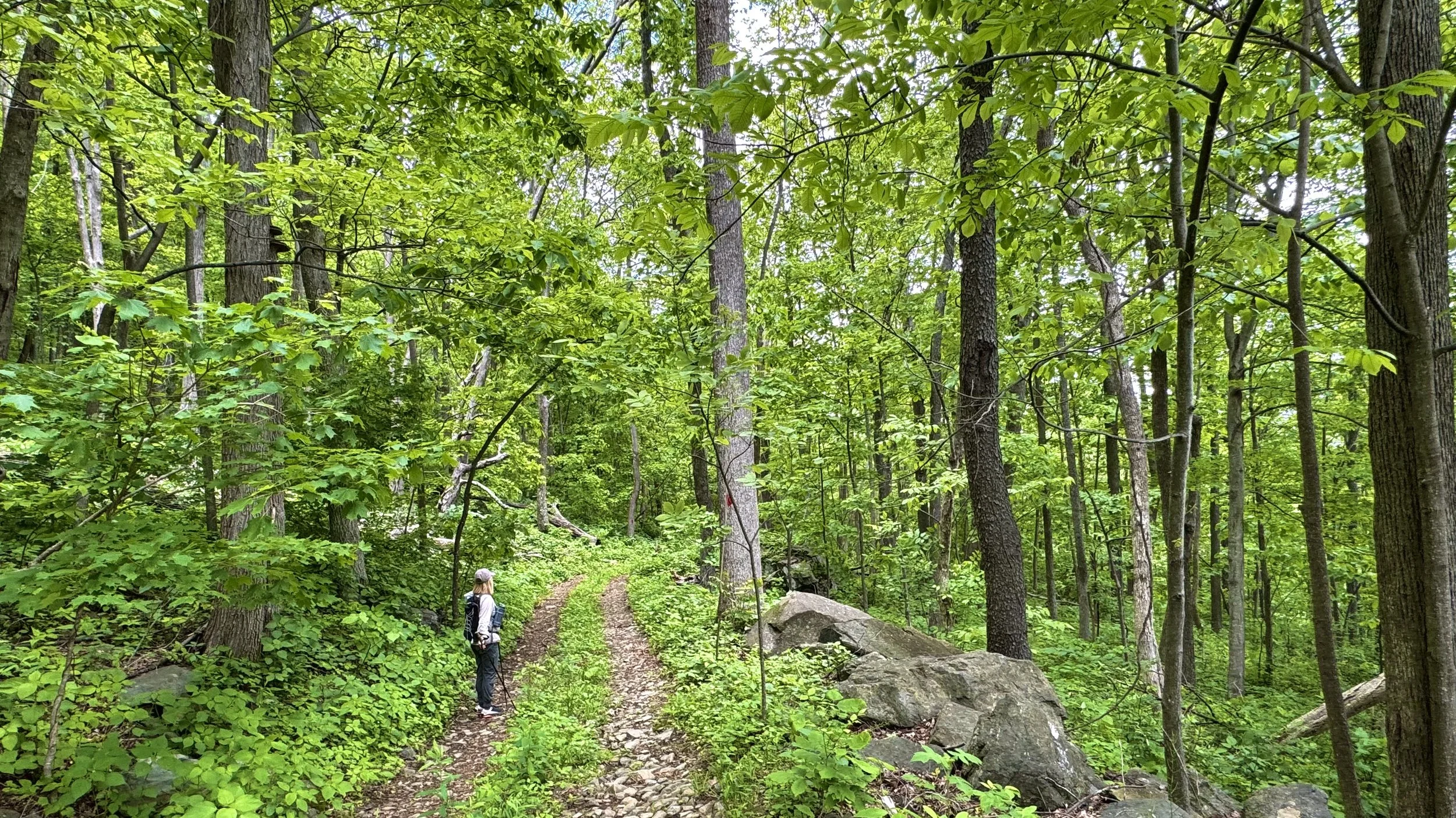
Distance: 1.5 miles (one way).
Difficulty Level: easy to moderate. 🟦
Time: 1 hour.
Elevation Change: 240 ft gain/750 ft loss.
Key Features: wildflowers, birdwatching, family-friendly.
Blaze Color: Yellow/Red.
Access: Access at the southern end is at the Discover Ridge Parking area.
Google Maps directions to parking area.
Distance: 1.7 miles (one way).
Difficulty Level: moderate. 🟦
Time: 1-2 hours.
Elevation Change: 700 ft.
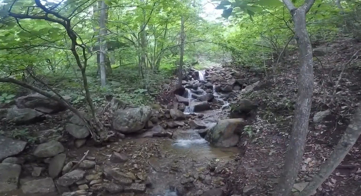
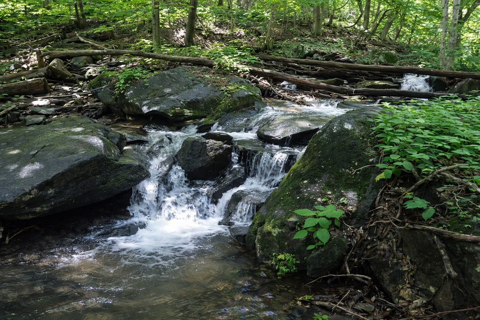
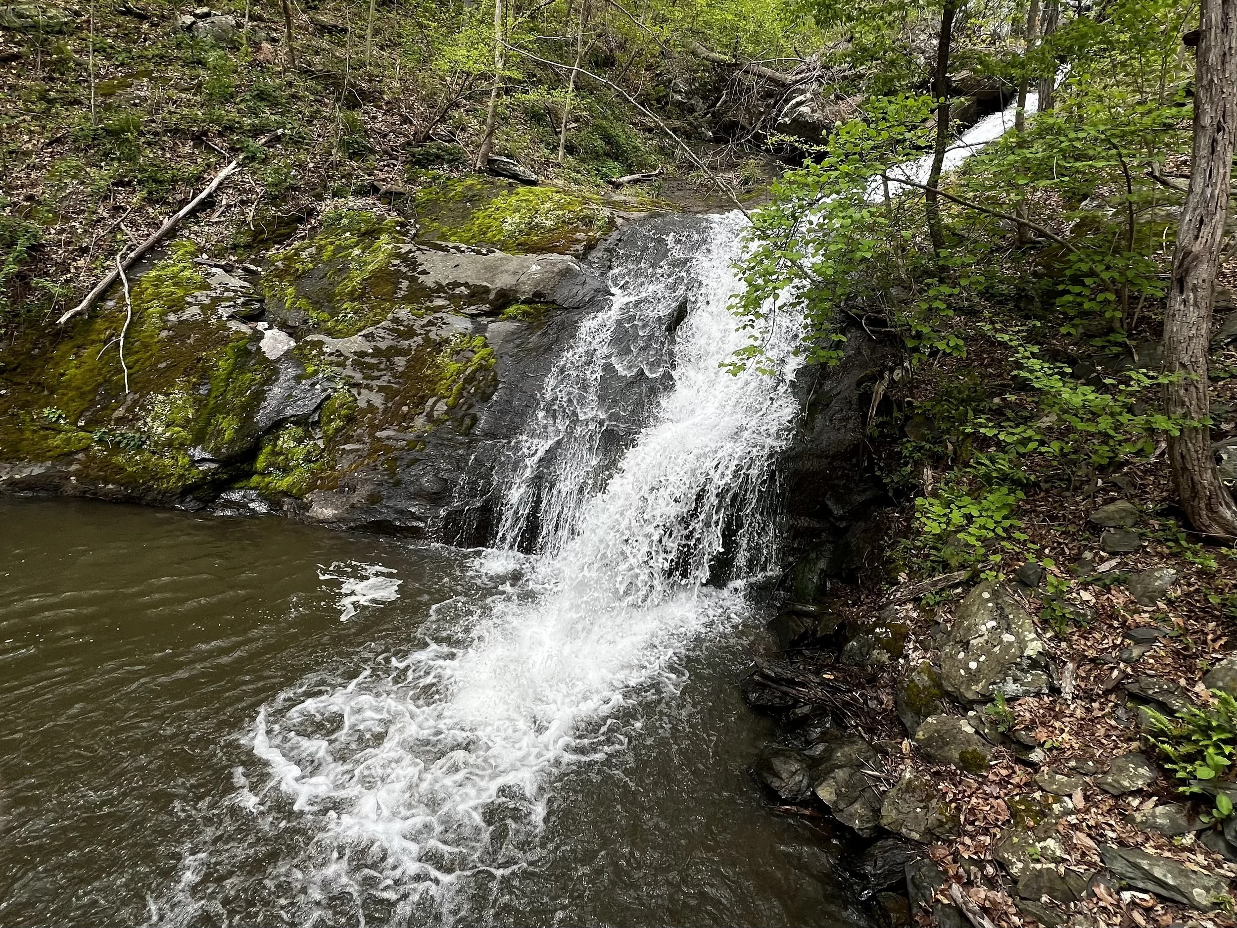
Key Features: waterfall, streams, wildflowers, family friendly.
Blaze Color: blue.
Access: Parking at the end of Old Stoney Creek Road (at gate).
Google map directions to parking area.
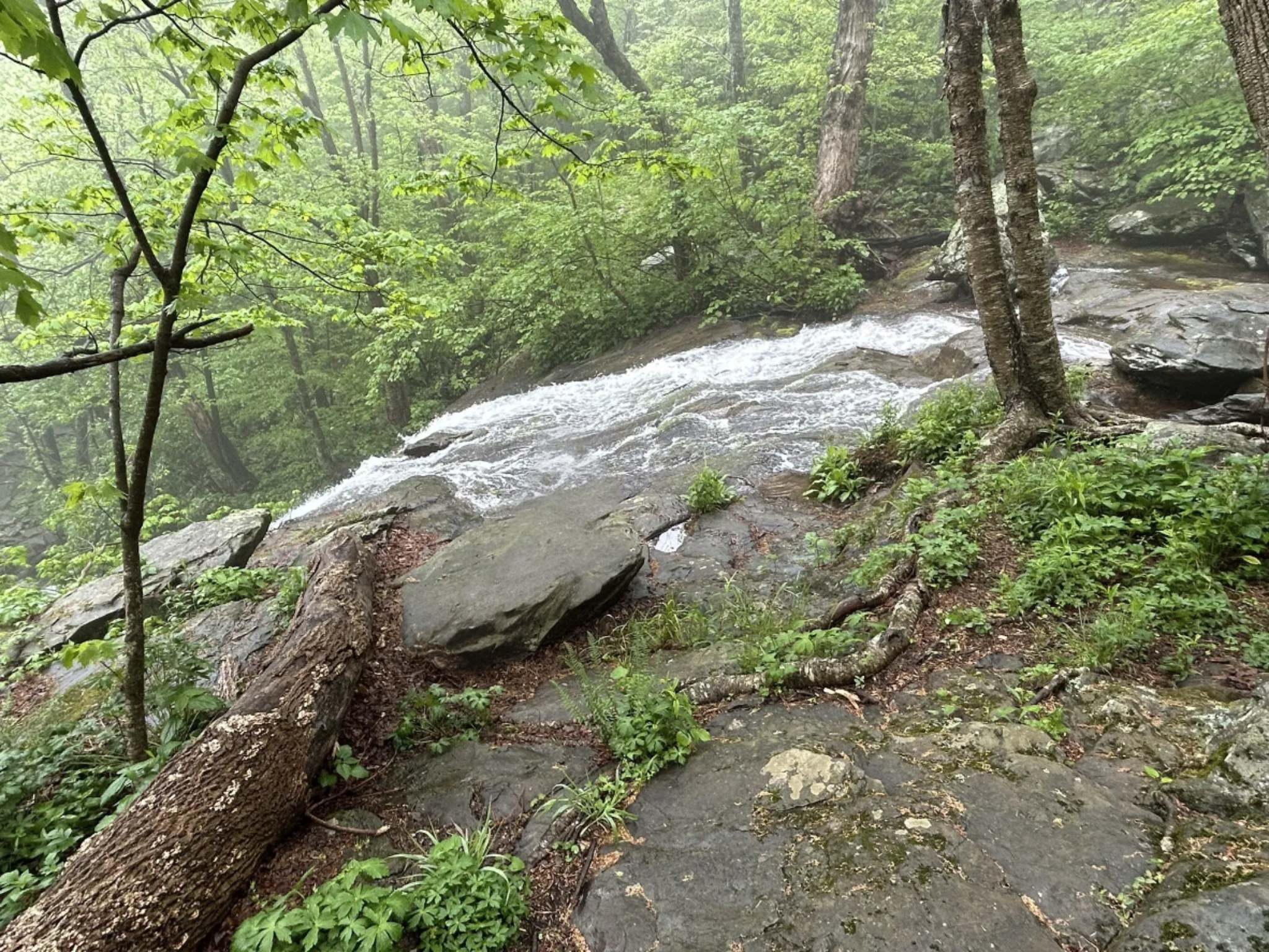
Distance: 0.3 miles (one way).
Difficulty Level: moderate. 🟦
Time: 0.5 hours.
Elevation Change: 180 ft.
Key Features: waterfall, rocky.
Blaze Color: yellow.
Access: Closest access is from the Laurel Springs Access Trail on Laurel Springs Drive.
Google Maps directions to parking area.
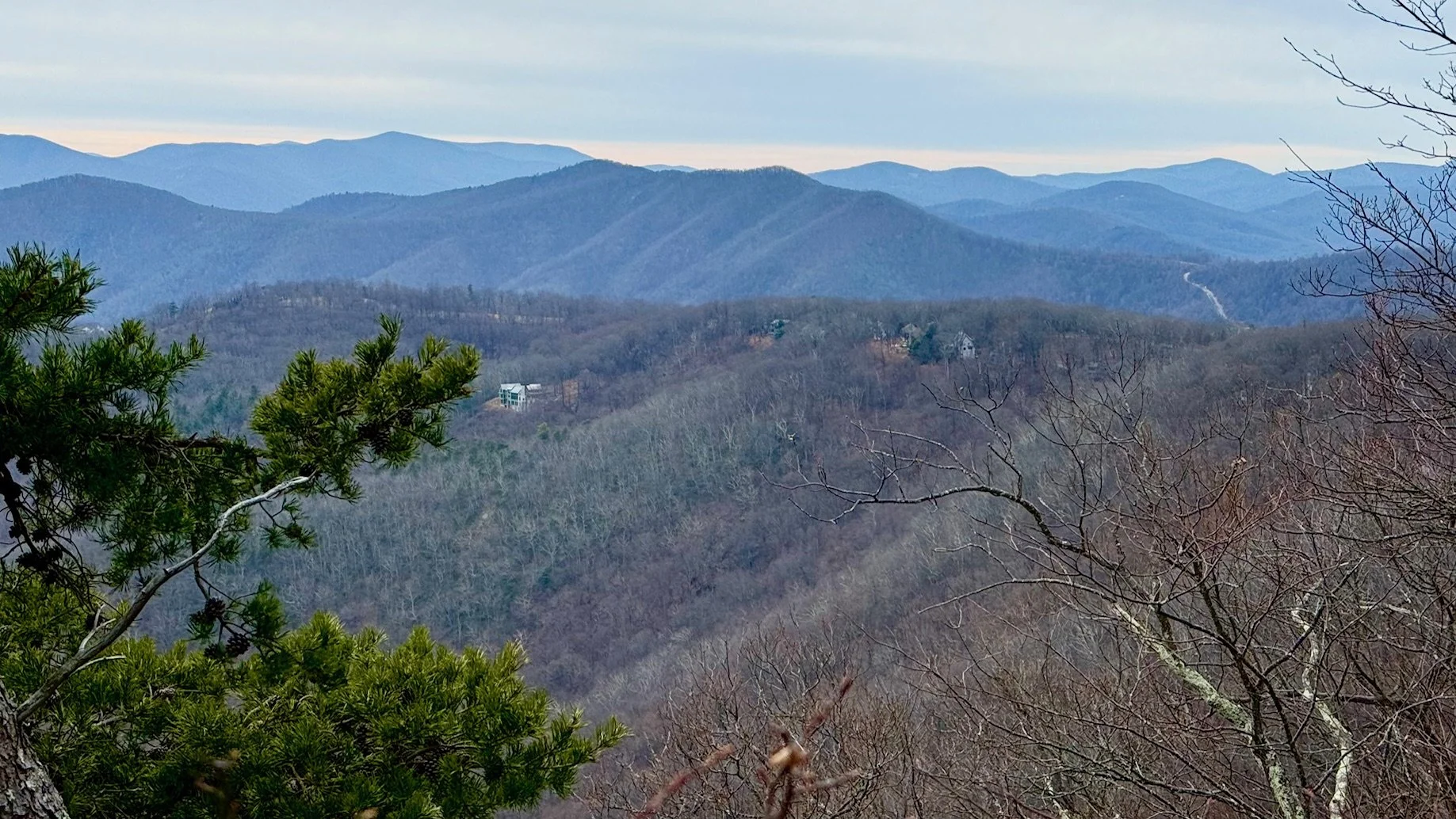
Distance: 3.0 miles (one way).
Difficulty Level: easy to moderate. 🟦
Time: 2-3 hours.
Elevation Change: 800 ft./260 ft.
Key Features: rocky, wildflowers, fungi, scenic views.
Blaze Color: red.
Access: The north end is accessed at the Old AT Access on Laurel Springs Road. The south end is accessed on Cedar Drive.
Google Maps directions to parking area at the north end.
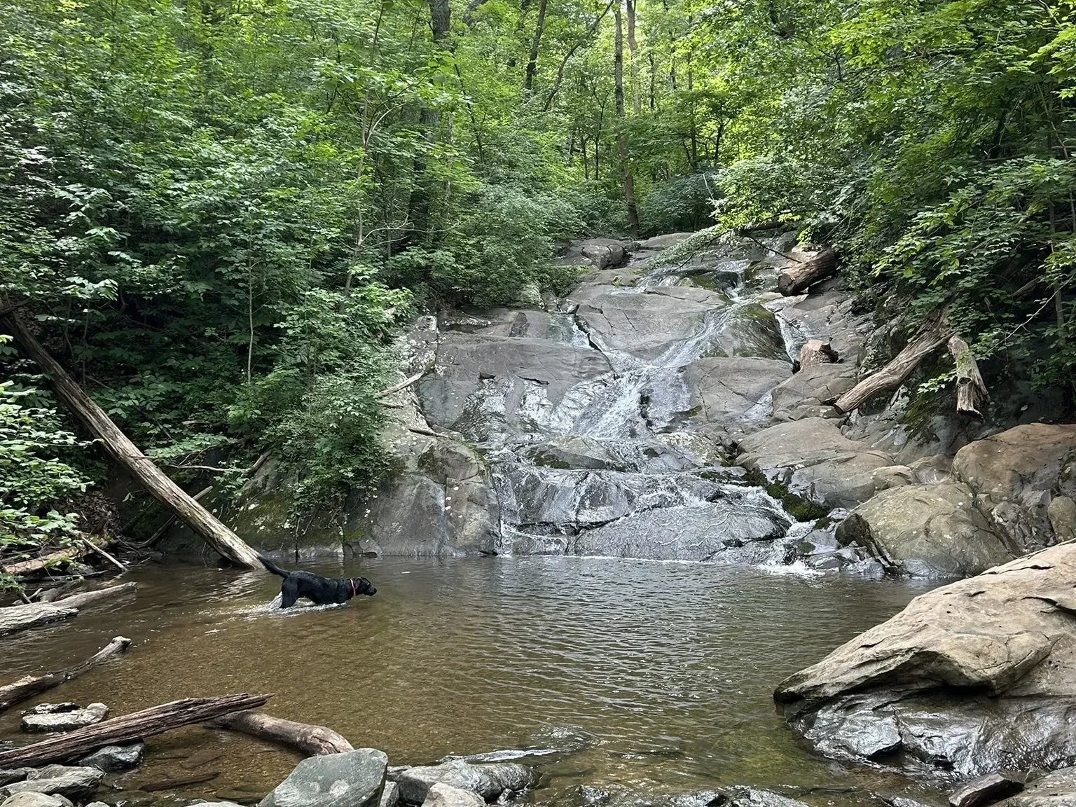
Distance: 0.6 miles (one way).
Difficulty Level: moderate. 🟦
Time: 0.5 hour.
Elevation Change: 300 ft.
Key Features: waterfall, streams, family-friendly.
Blaze Color: blue.
Access: Parking on Pauls Creek Court.
Google Maps directions to parking area.
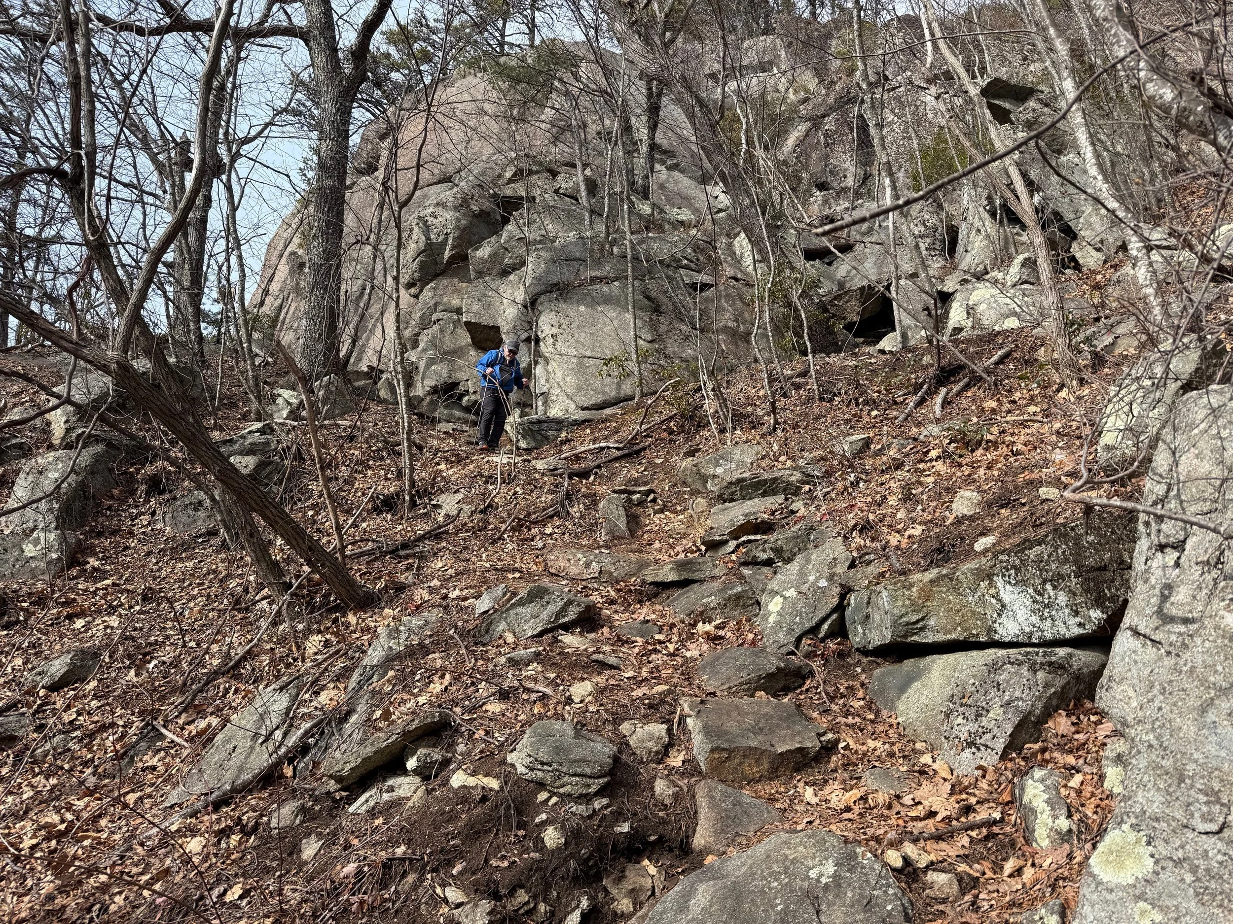
Distance: 1.6 miles (one way).
Difficulty Level: difficult. ◆
Time: 1 hour.
Elevation Change: 100 ft./400 ft.
Key Features: rocky, birdwatching
Blaze Color: red.
Access: The closest access to the southern end of the trail is from the 0.4-mile Pedlars Edge Access Trail off of Blackrock Circle.
Google Maps directions to parking area.
Distance: 1.0 mile (one way).
Difficulty Level: most difficult. ◆◆
Time: 1-1.5 hours.
Elevation Change: 850 ft.
Key Features: rocky, geology.
Blaze Color: red.
Access: Southern end of the trail is accessed from Fortune Ridge Road. The northern end of the trail is accessed from the Devils Knob trail and the White Oak trail.
Google Maps directions to the limited parking at the trailhead on Fortune Ridge Road.
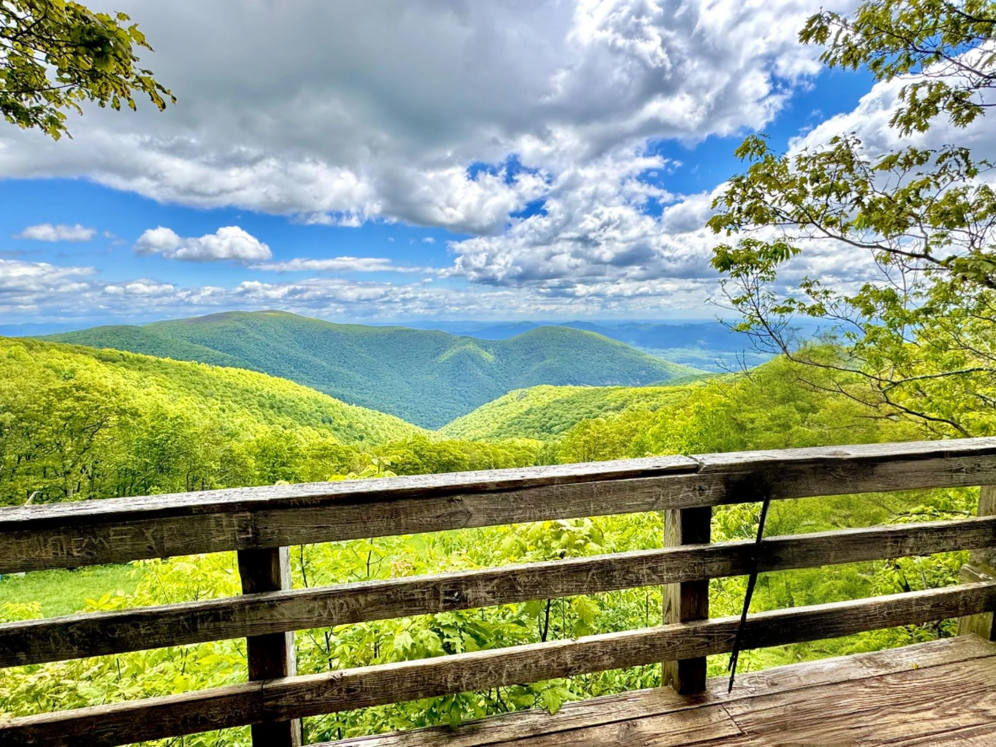
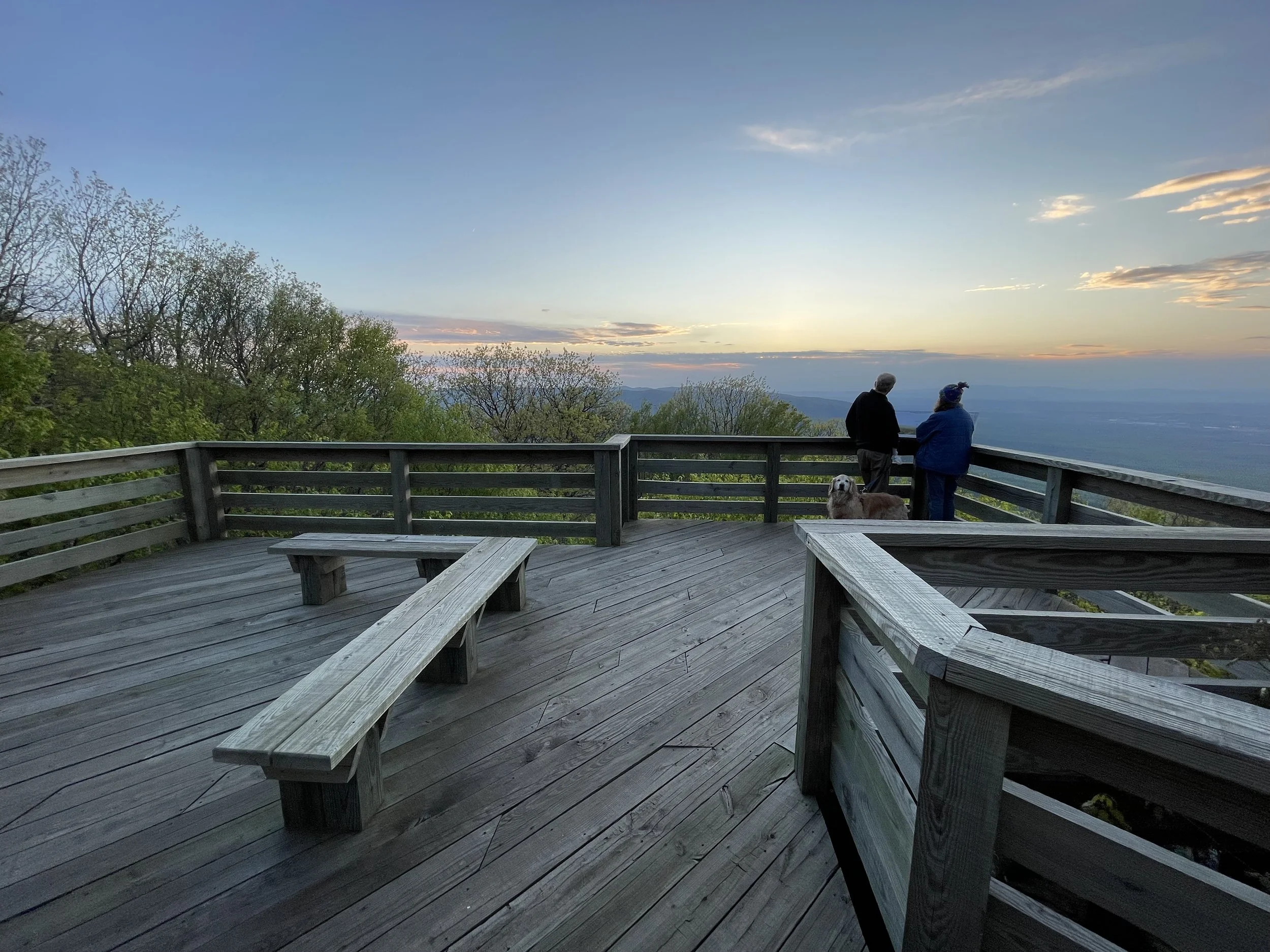
Distance: less than 0.1 miles.
Difficulty Level: easy. 🟢
Key Features: scenic view, family-friendly, birdwatching.
Blaze Color: yellow.
Access: Park at the end of Valley View Lane or Ravens Roost Lane.
Google Maps directions to parking area.