Distance: 0.3 miles (loop trail).
Difficulty Level: easy. 🟢
Time: 0.5 to 1 hour.
Elevation Gain: 42 ft.
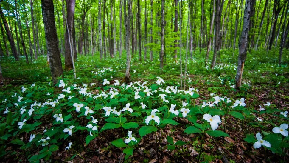
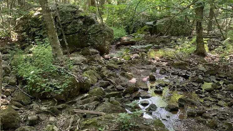
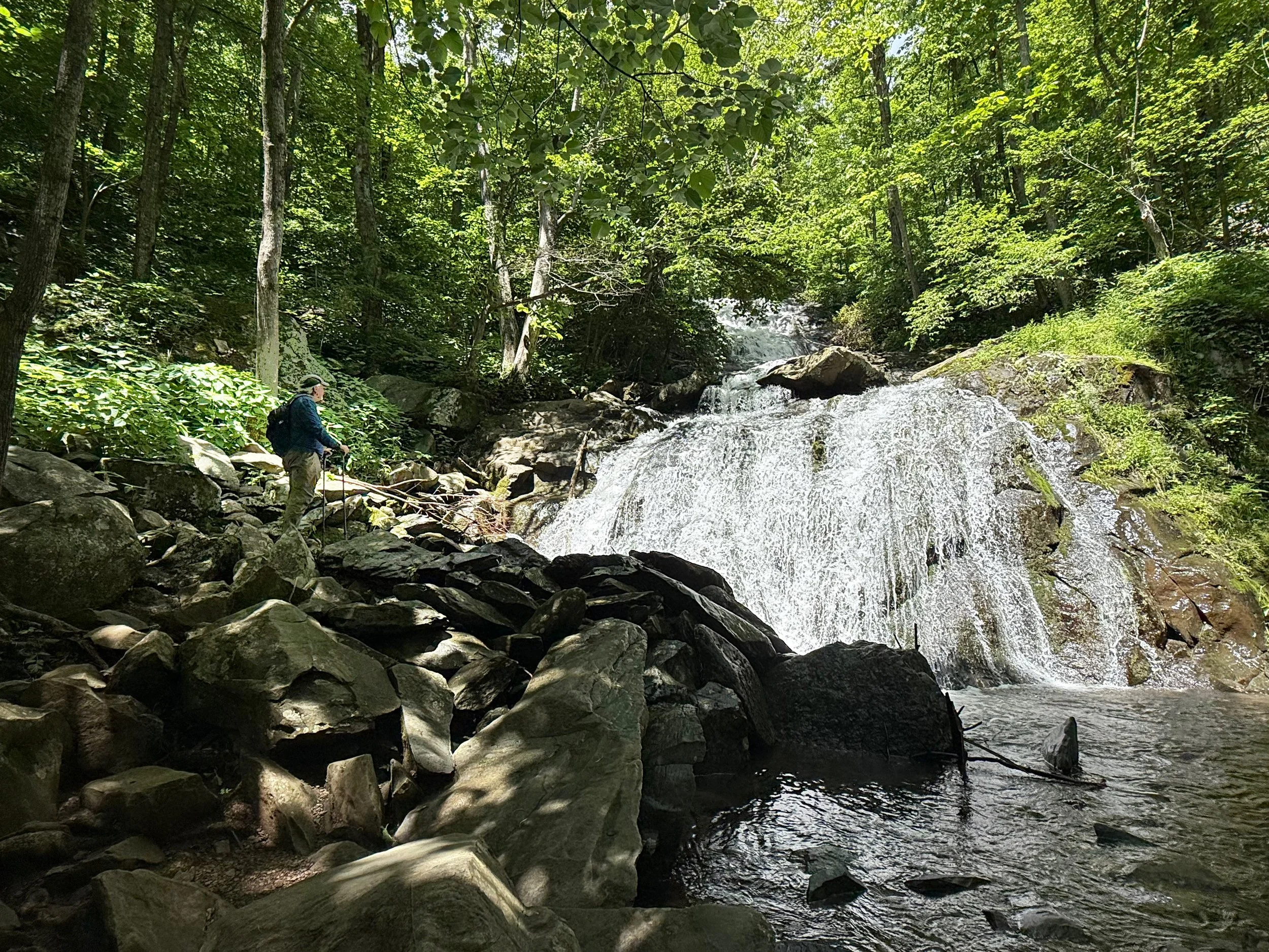
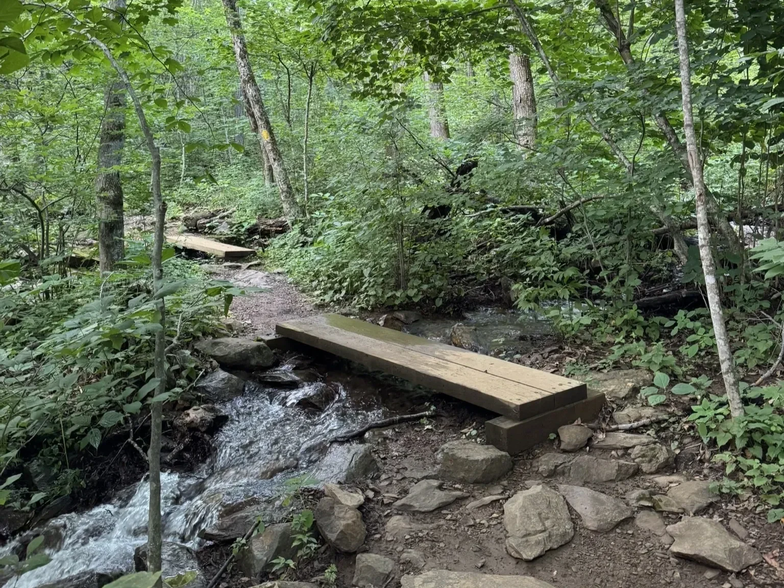
Key Features: streams, hiking, wildflowers, birding, family-friendly, forest, loop hike.
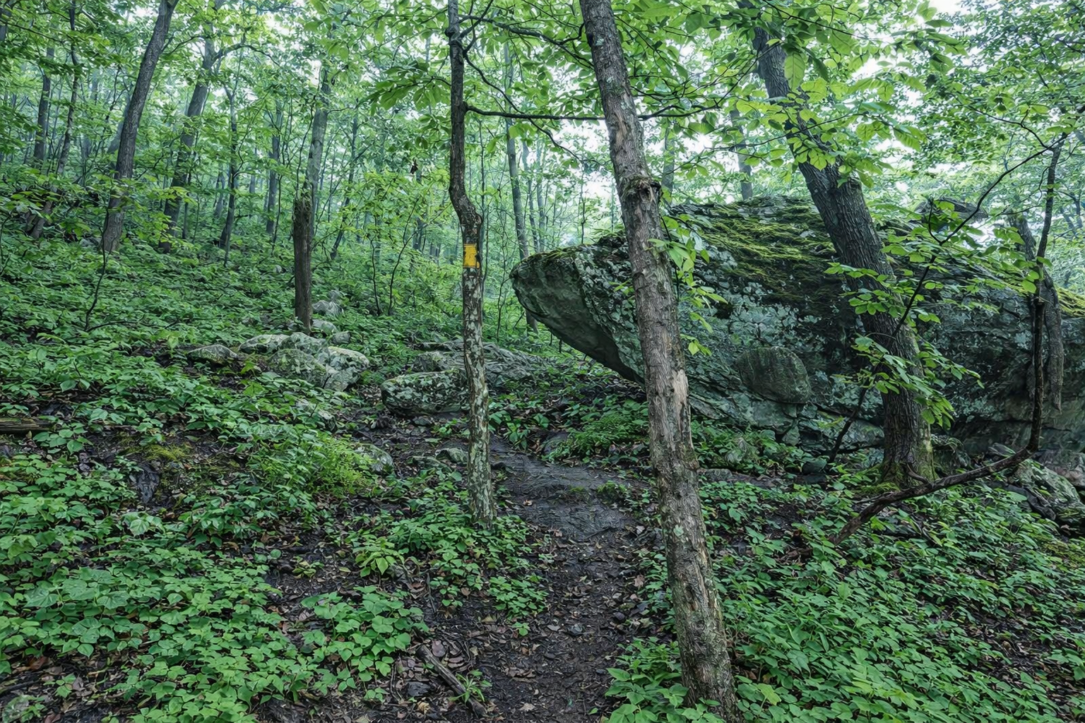
Blaze Color: yellow.
Access: The trail can be accessed from a small parking lot (4-6 cars) located at the corner of Blue Ridge Drive and Shamokin Springs Road.
Google Maps directions to parking area.