
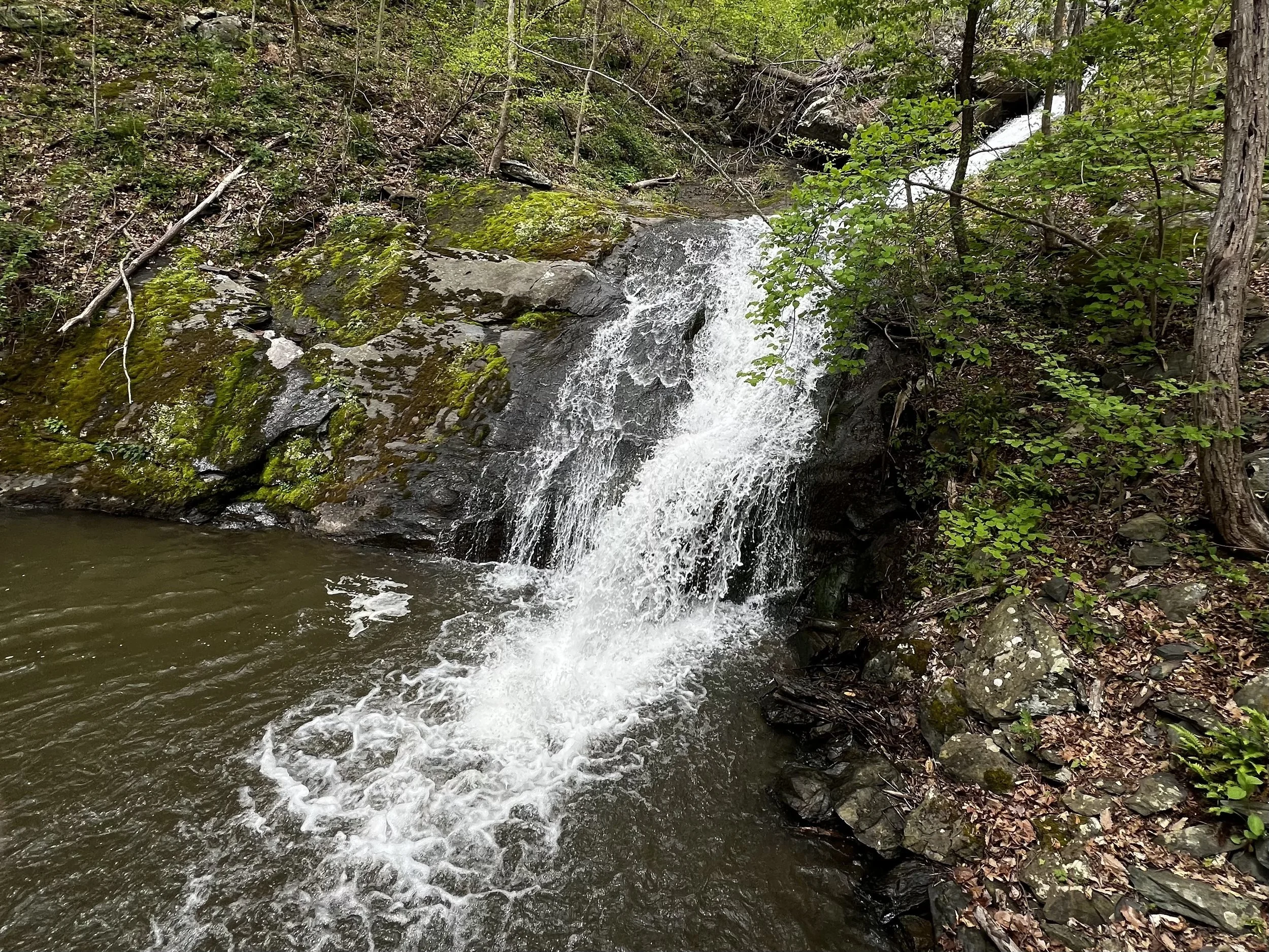
Valley Hiking

Lower Shamokin Falls Trail

Lower Shamokin Falls Trail

Distance: 1.7 miles (one way).
Difficulty Level: moderate. 🟦
Time: 1-2 hours.
Elevation Change: 700 ft.
Key Features: waterfall, streams, wildflowers, family friendly.
Blaze Color: blue.
Access: Parking at the end of Old Stoney Creek Road (at gate).
Google map directions to parking area.
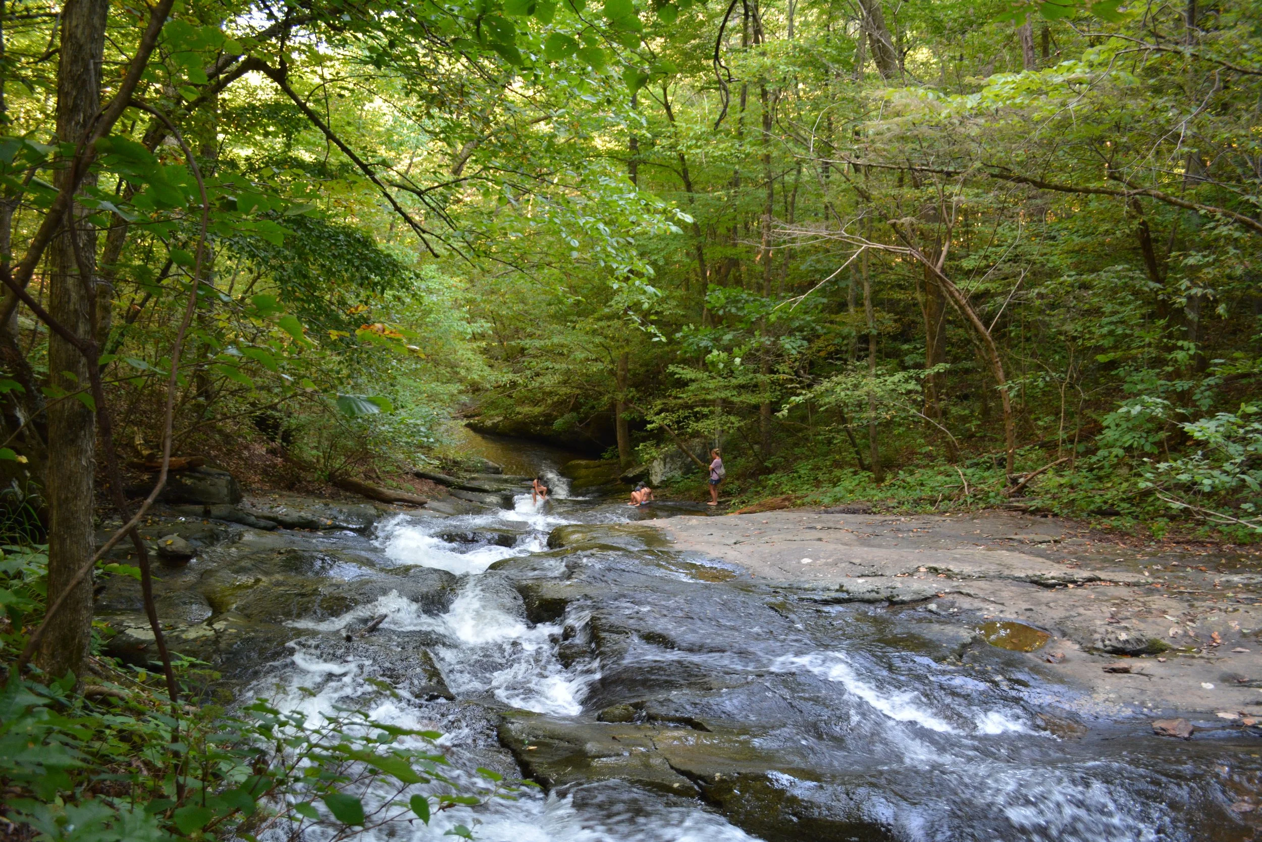
Pauls Creek Trail

Pauls Creek Trail

Distance: 0.6 miles (one way).
Difficulty Level: moderate. 🟦
Time: 0.5 hour.
Elevation Change: 300 ft.
Key Features: waterfall, streams, family-friendly.
Blaze Color: blue.
Access: Parking on Pauls Creek Court.
Google Maps directions to parking area.