


Hike Wintergreen
Below is a list of all of the trails of Wintergreen. To connect trails together to make longer hikes, check out the Insiders Guide to Hiking Wintergreen.
Looking for the trail map for the SKI SLOPES? Go here.
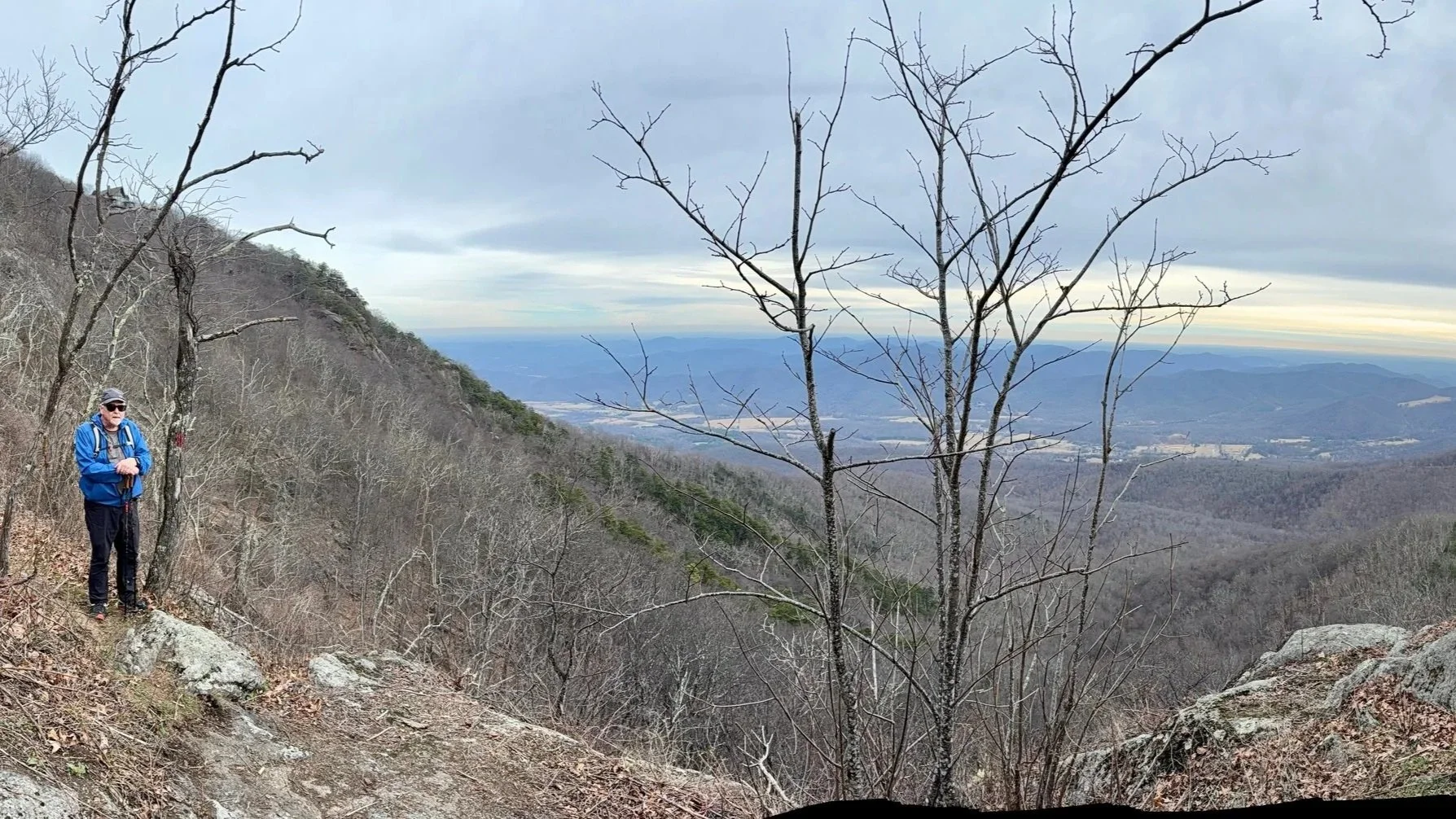
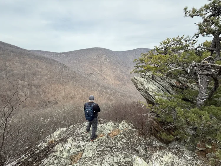
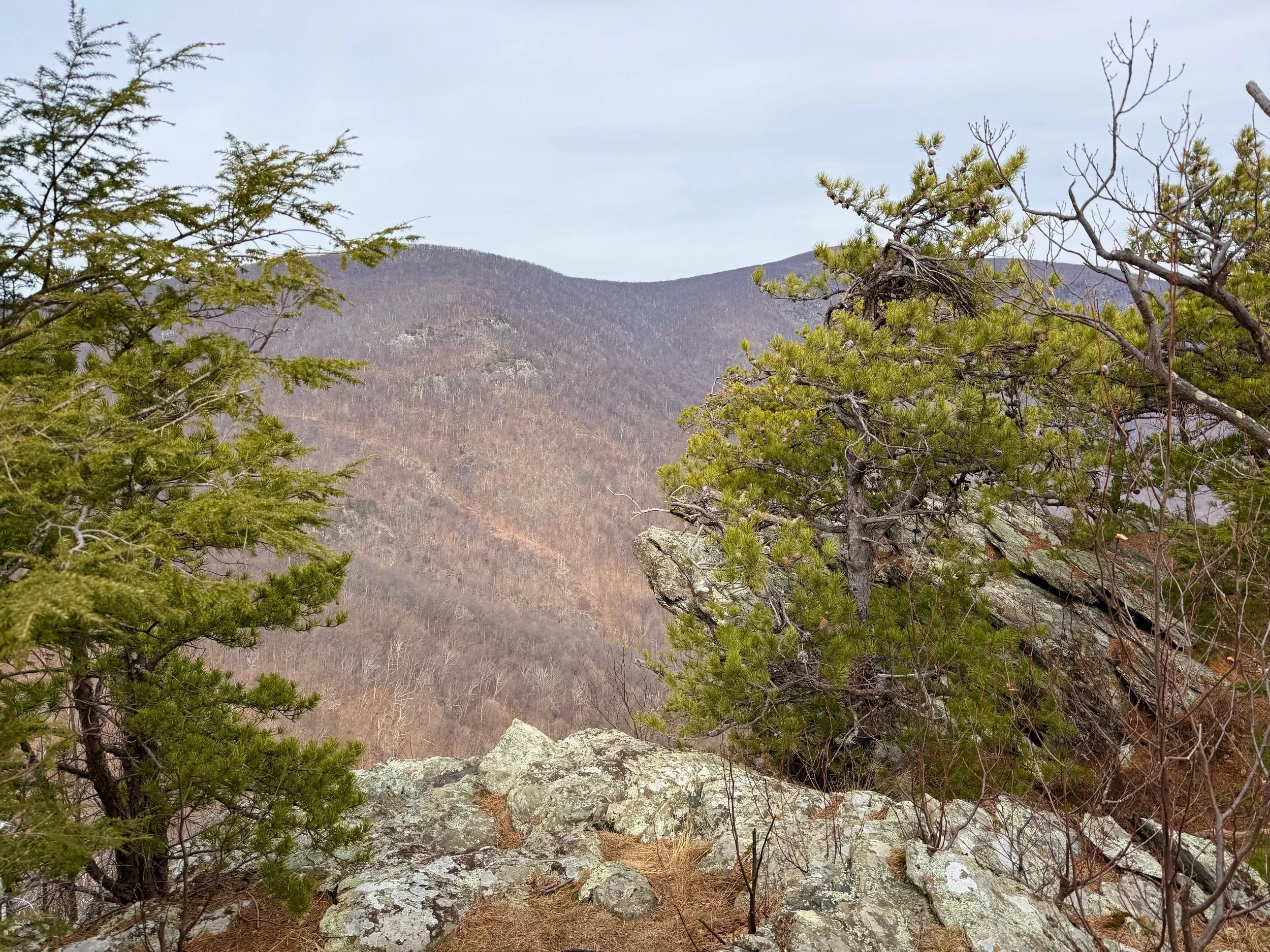
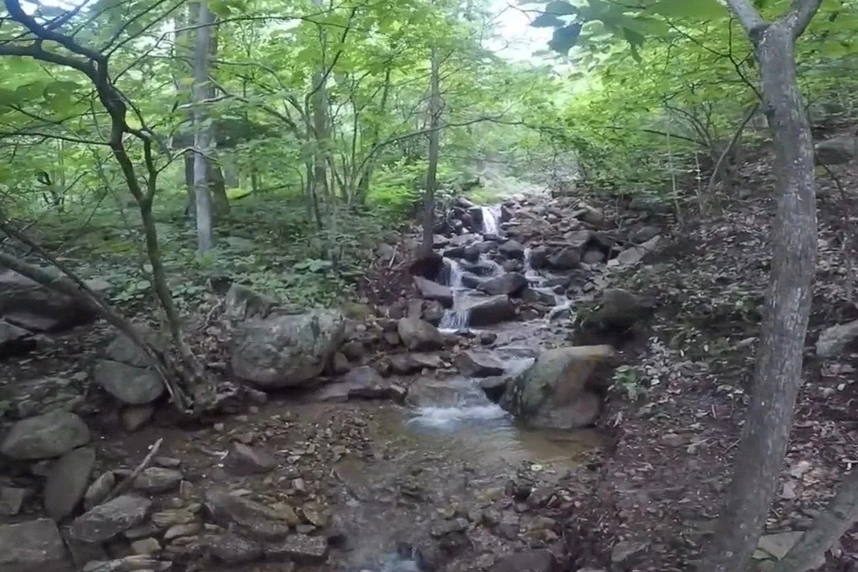
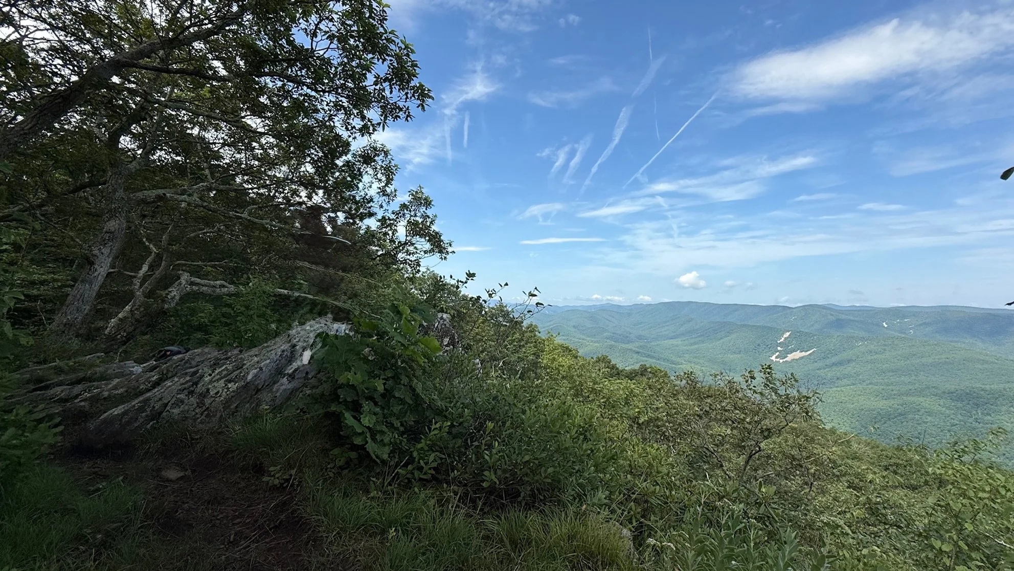
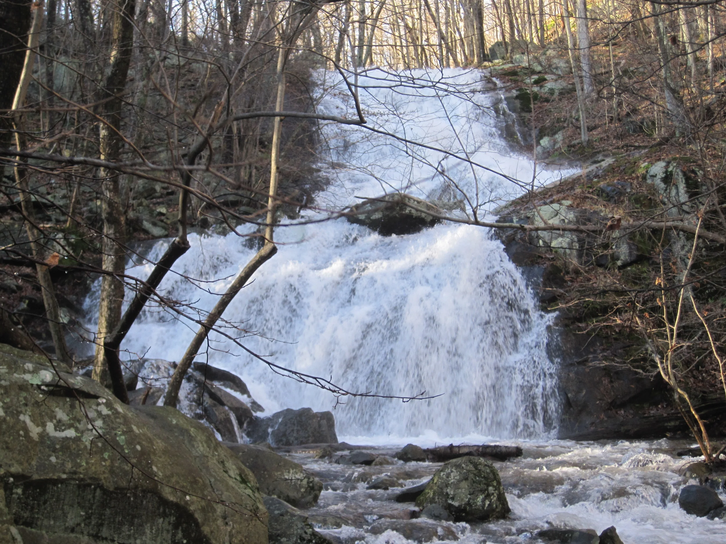
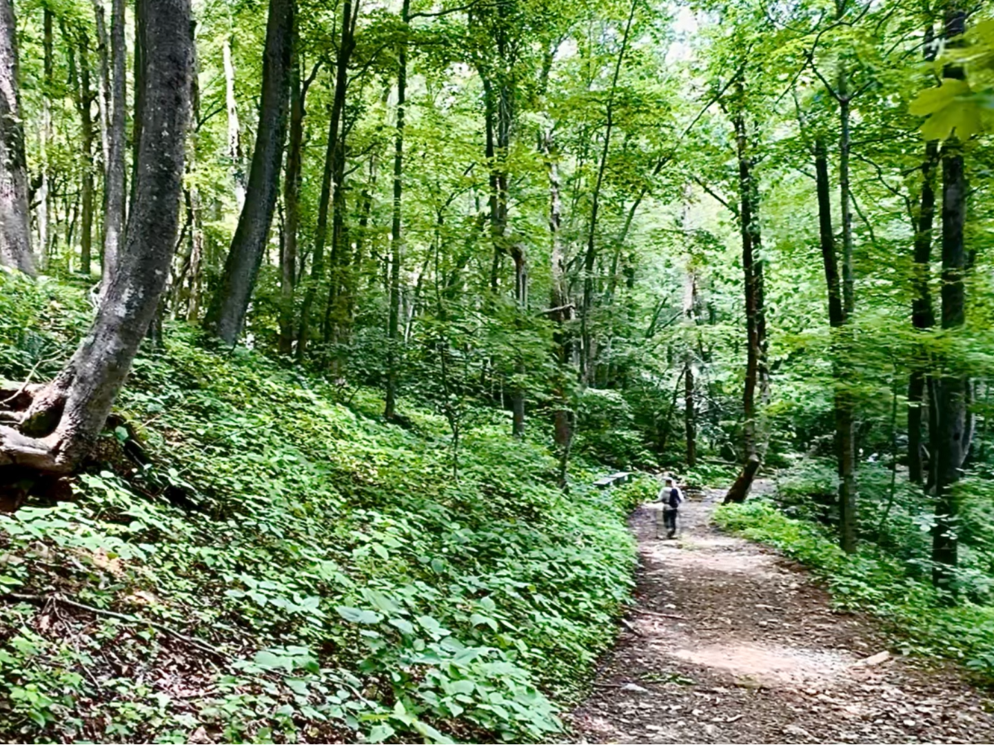
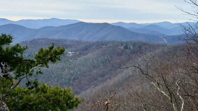
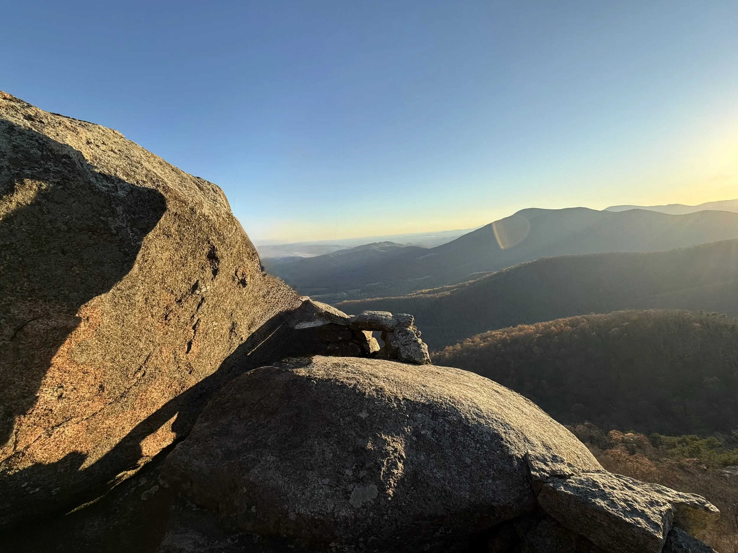
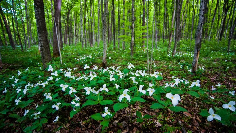
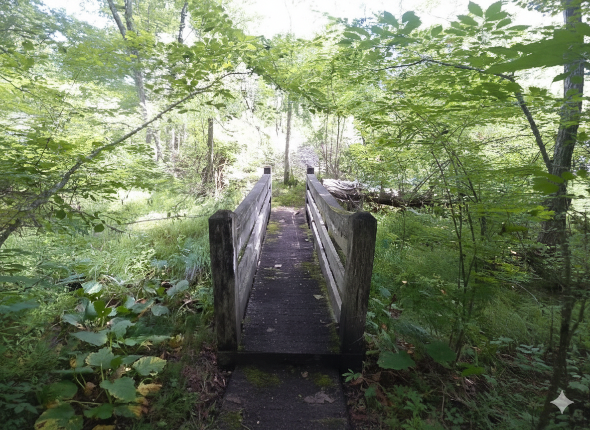
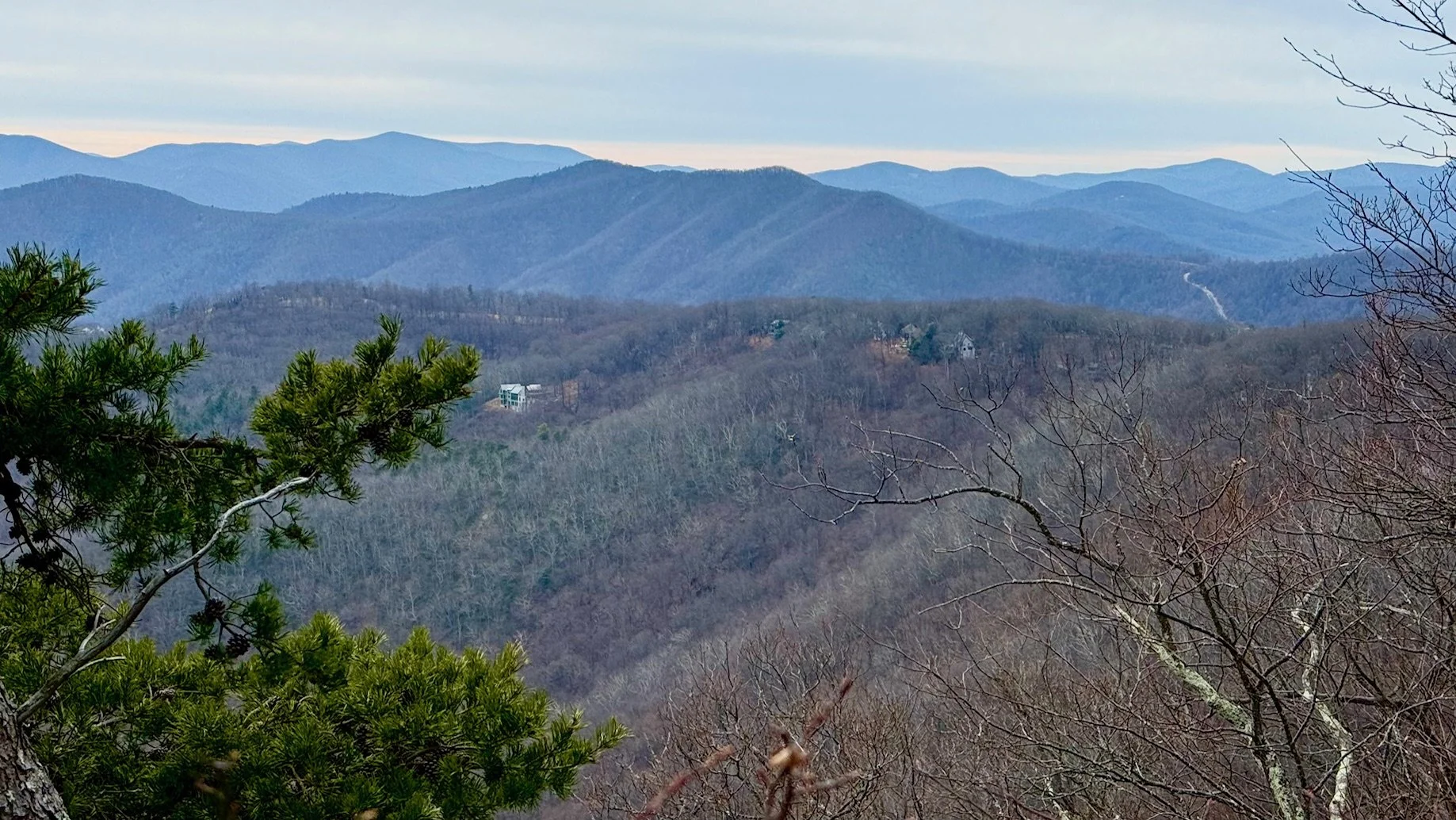
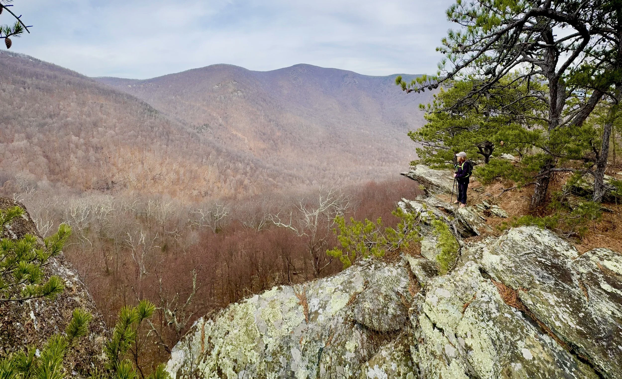
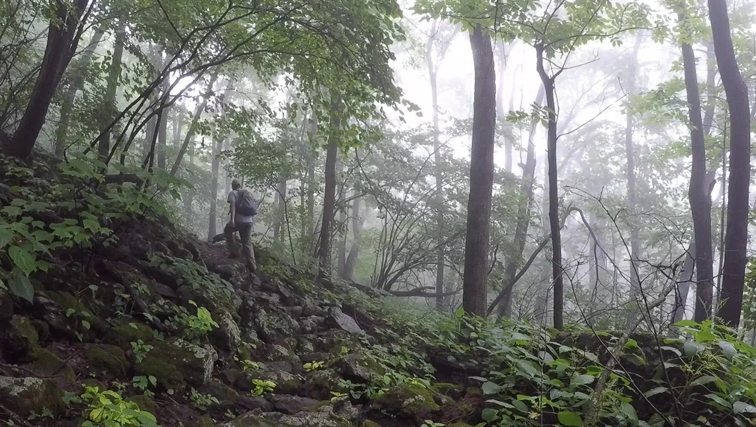
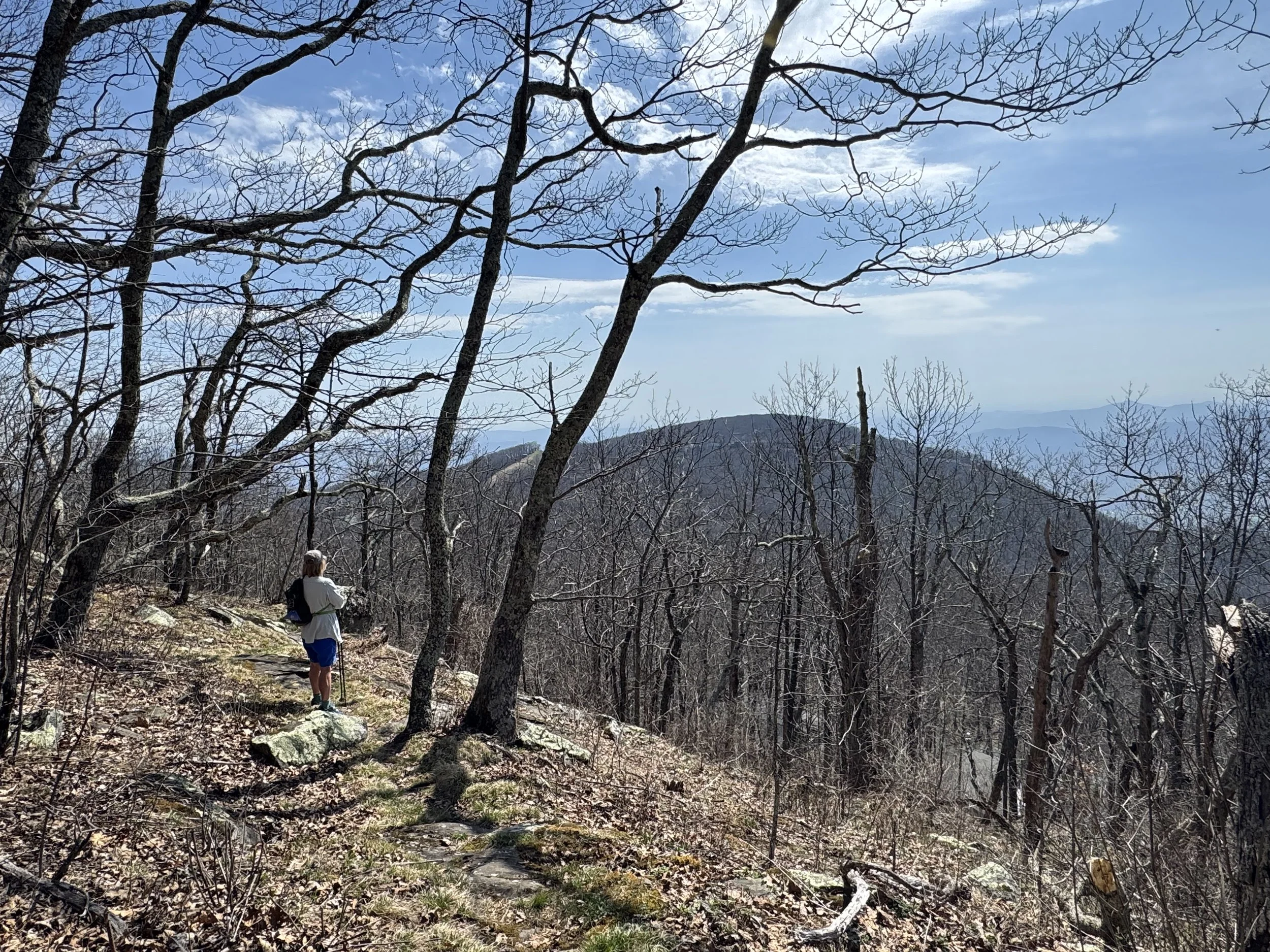
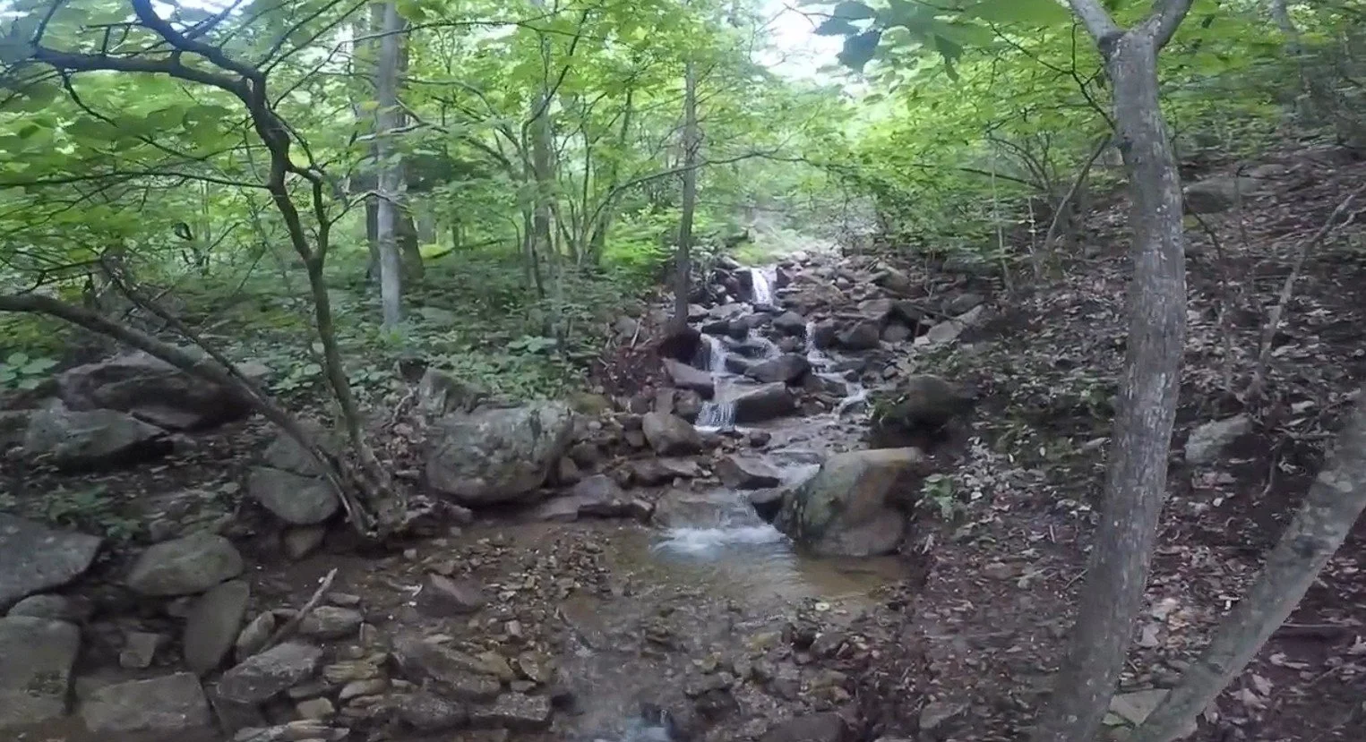
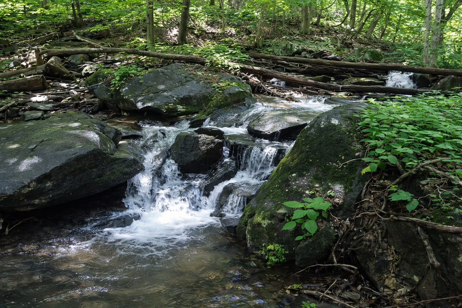
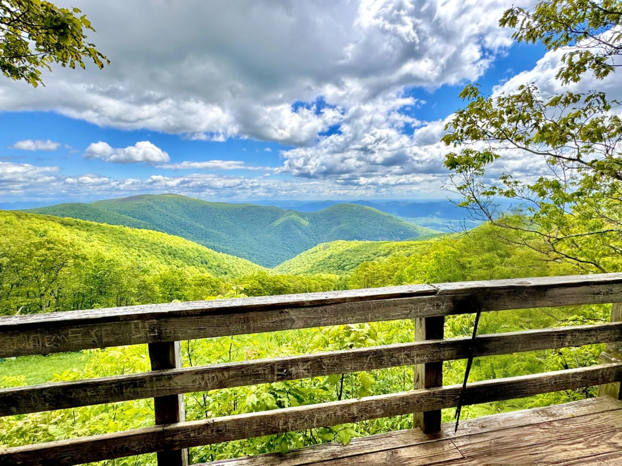
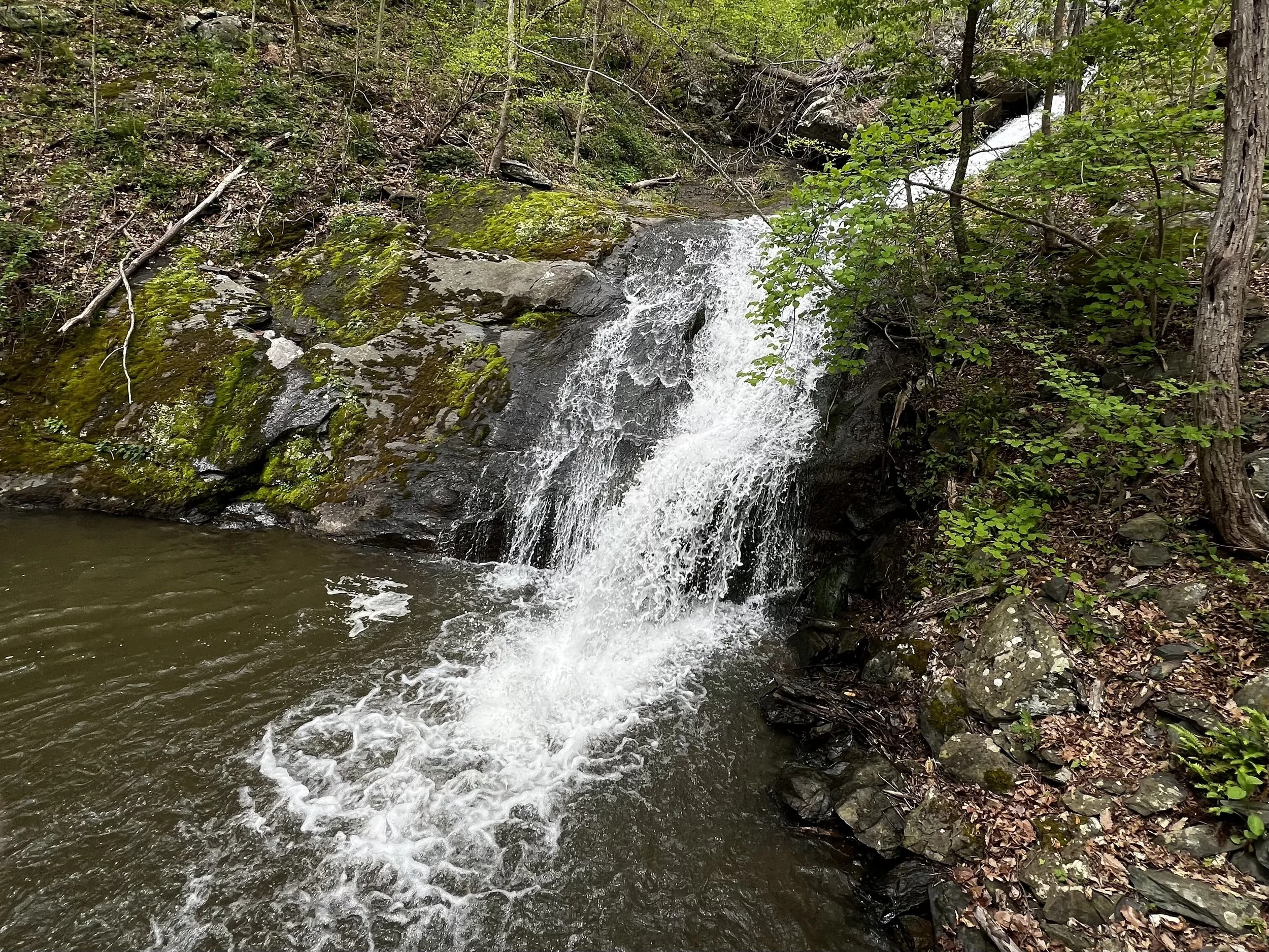
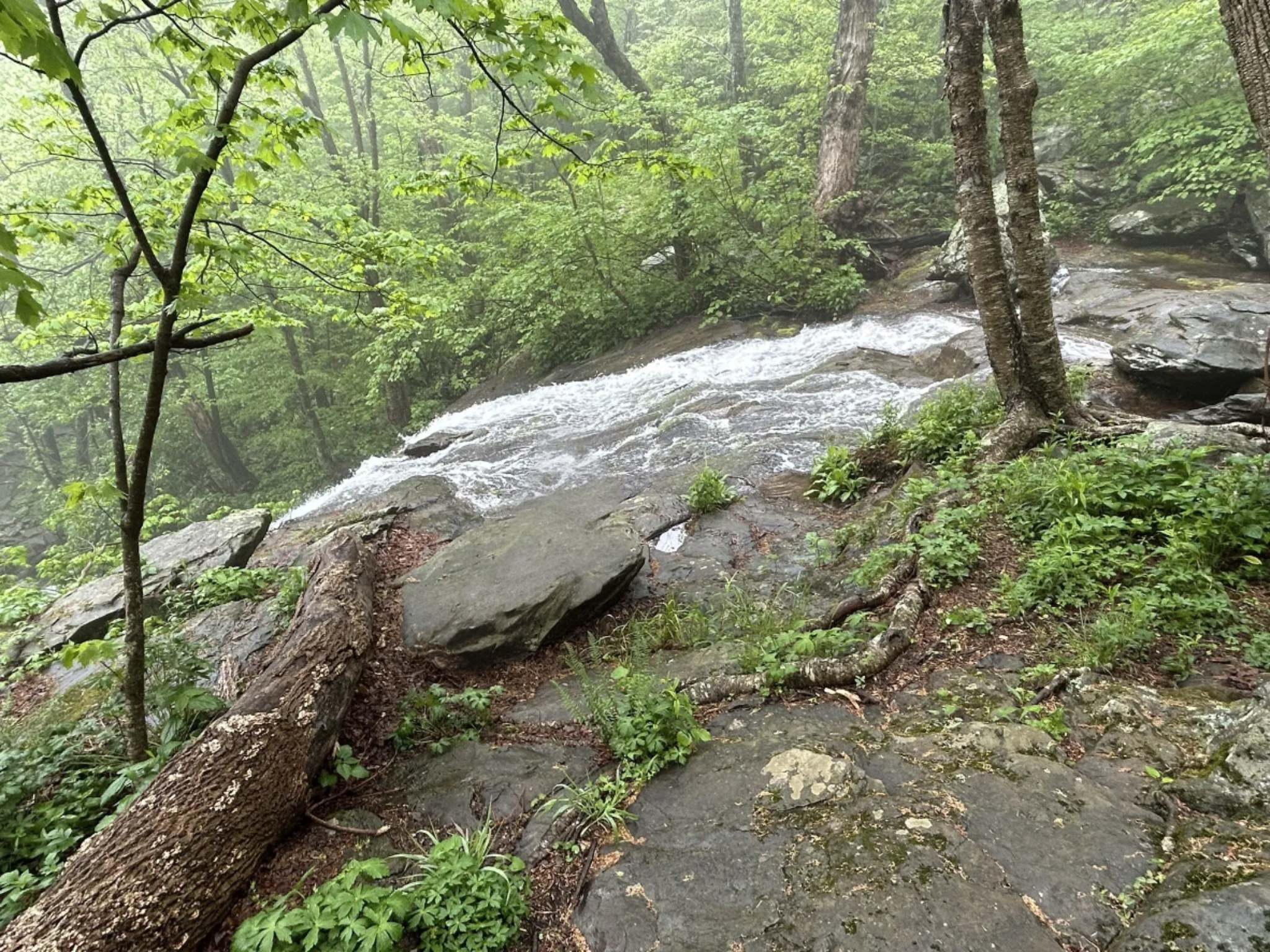
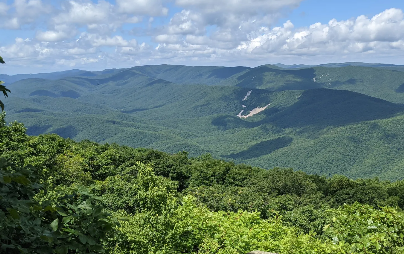
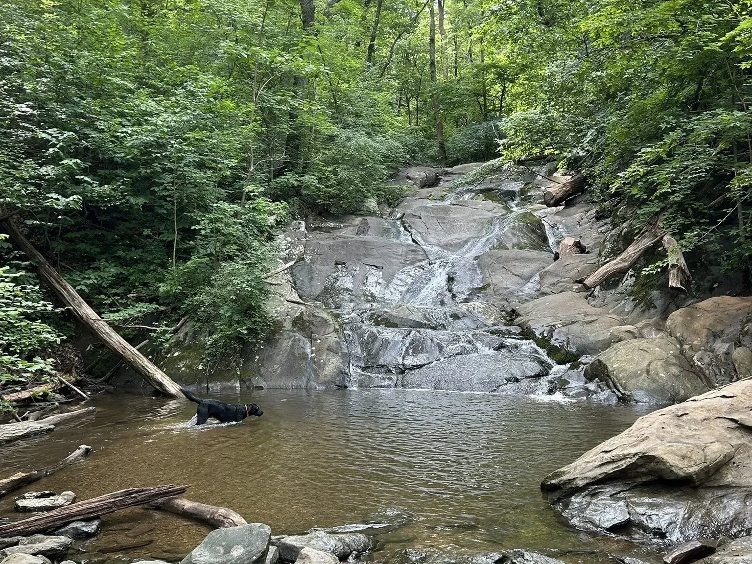
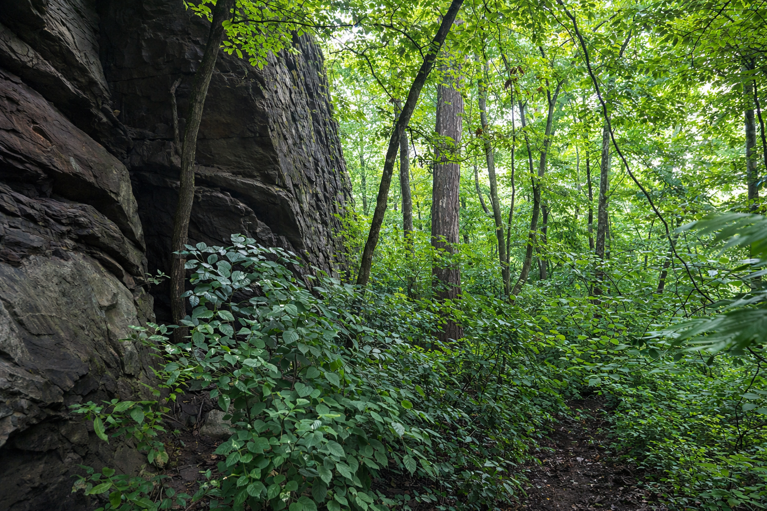
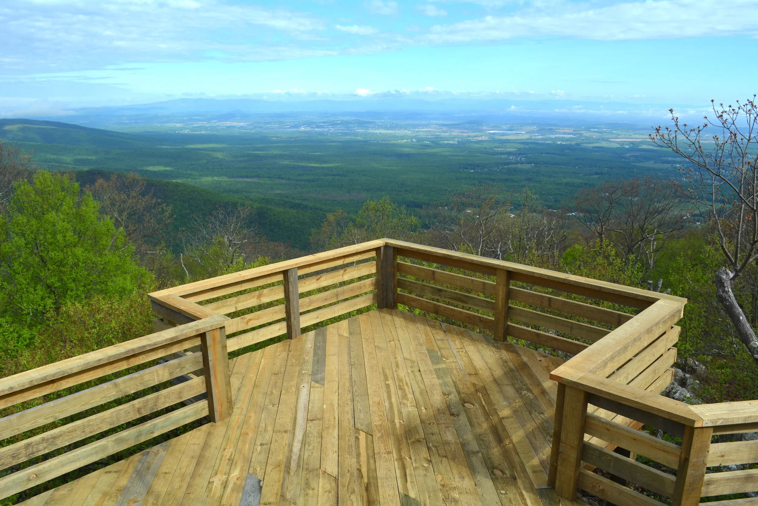
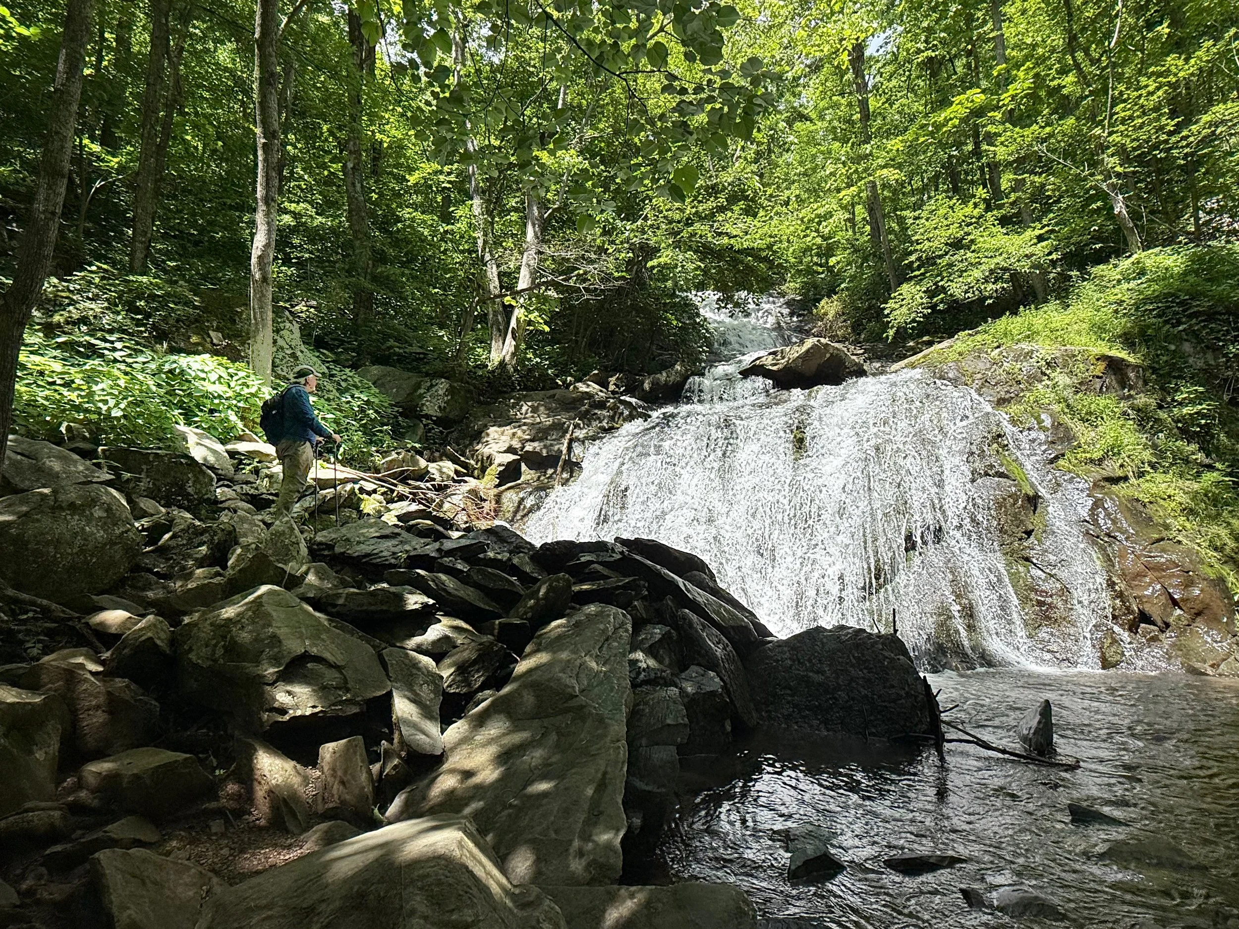
Over 30 miles of mountain and valley trails,
from extra easy to very challenging
The trails are open to the public


Hiking trails difficulty ratings:
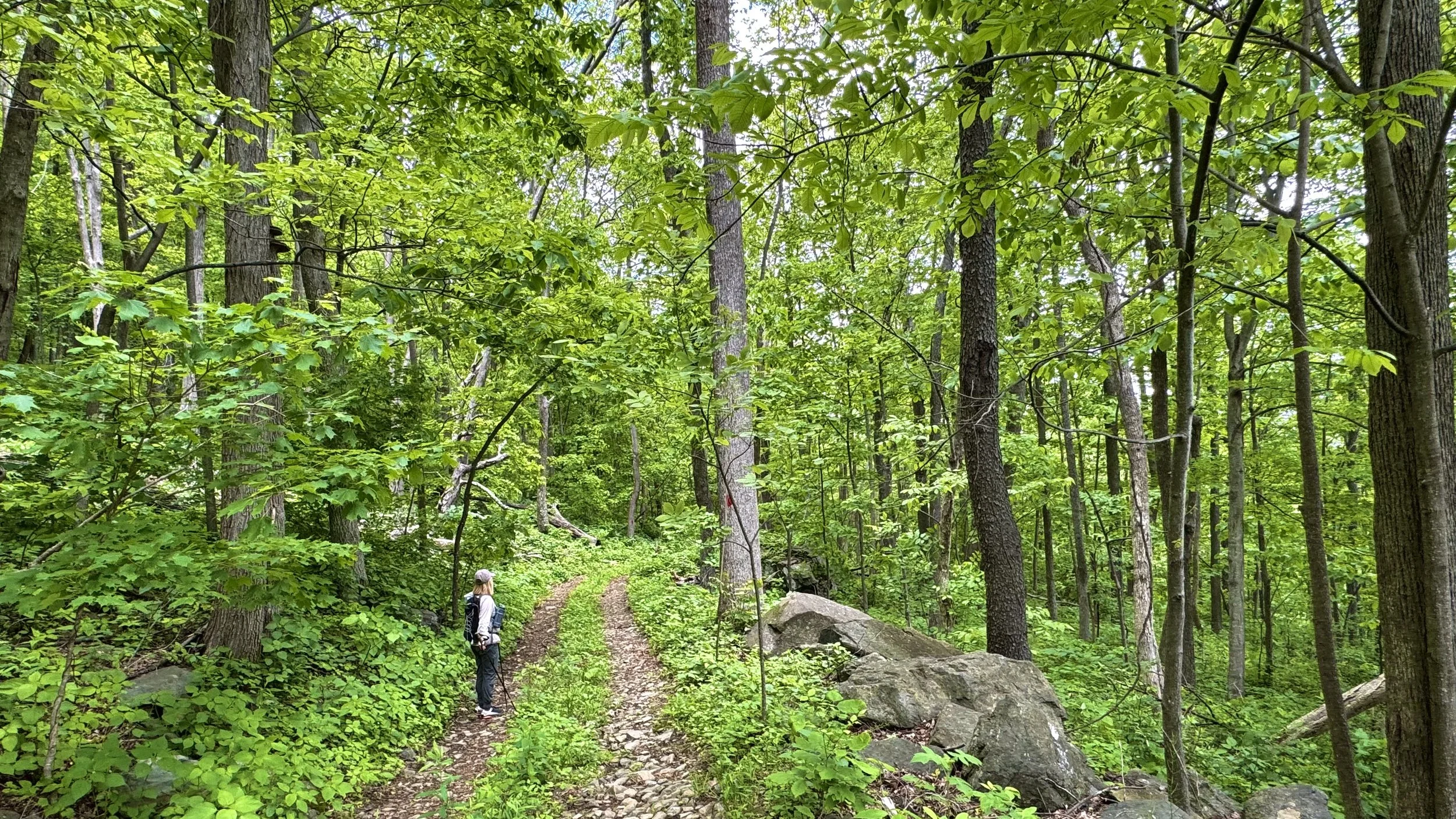
🟢 EASY: Generally level terrain, all abilities
🟦 MODERATE: Varied terrain, short steep sections.
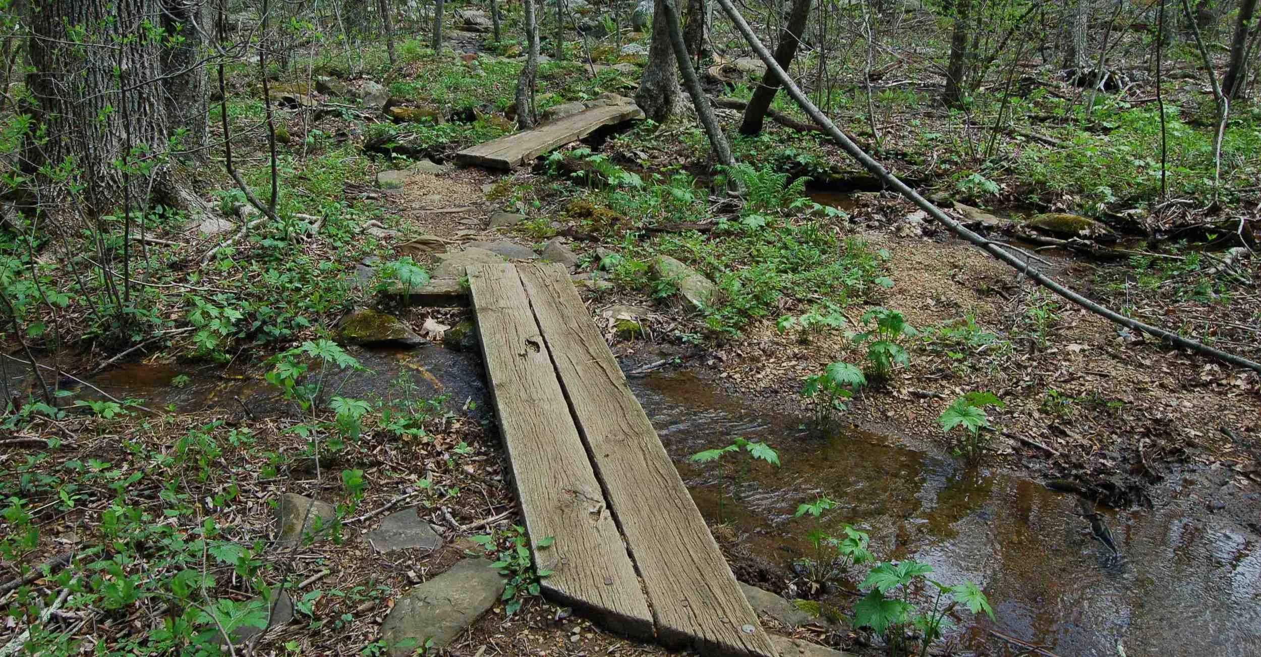
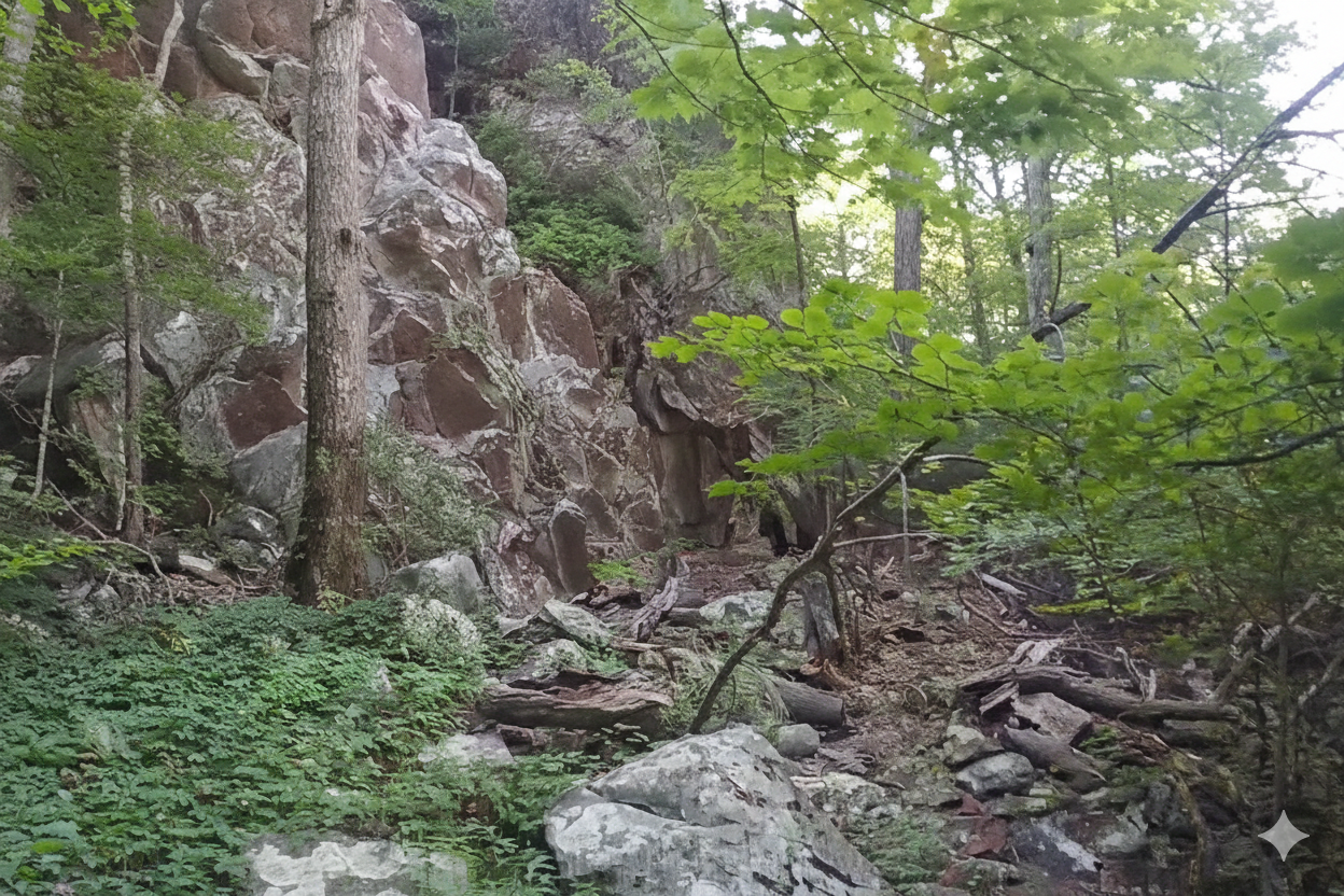
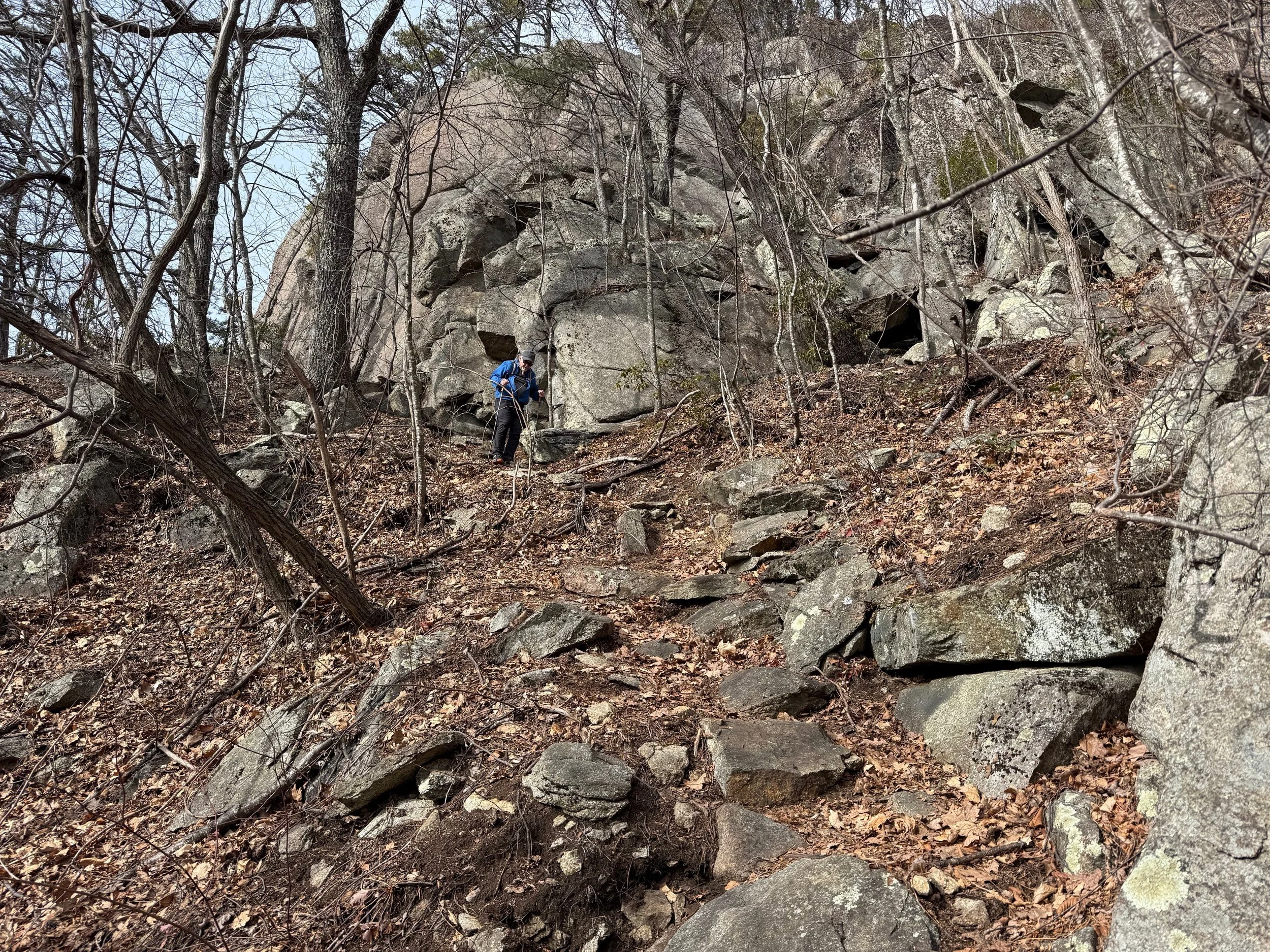
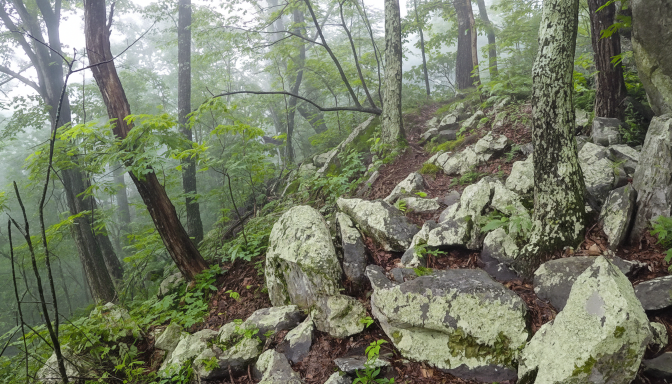
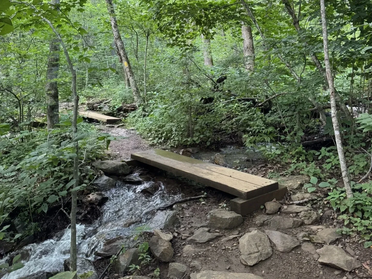
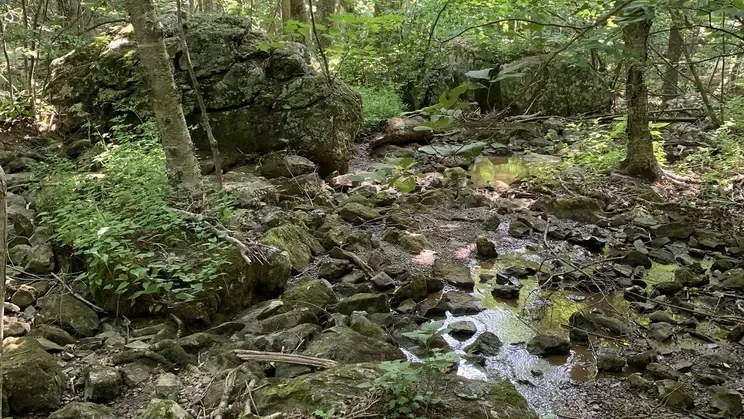
◆ DIFFICULT: Lengthy steep sections, rocky, possible water crossings.
◆◆ MOST DIFFICULT: Steep rocky sections, experienced hikers only.

Special THANKS to the Nature Foundation of Wintergreen (TNFW) - whose staff and volunteers maintain Wintergreen’s trails!
Guided hikes are offered by the Nature Foundation at Wintergreen on most Saturdays, with additional hikes during the fall and summer. Go HERE for the calendar of events.
Membership in TNFW help maintain the trails and preserve the area for years to come. Please consider becoming a member. Go HERE for membership.
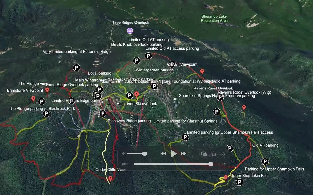
Find the interactive trail maps of all of Wintergreen here.
Paper trail maps are available at Wintergreen Resort's Mountain Inn and the Nature Foundation at Wintergreen.
You hike at your own risk
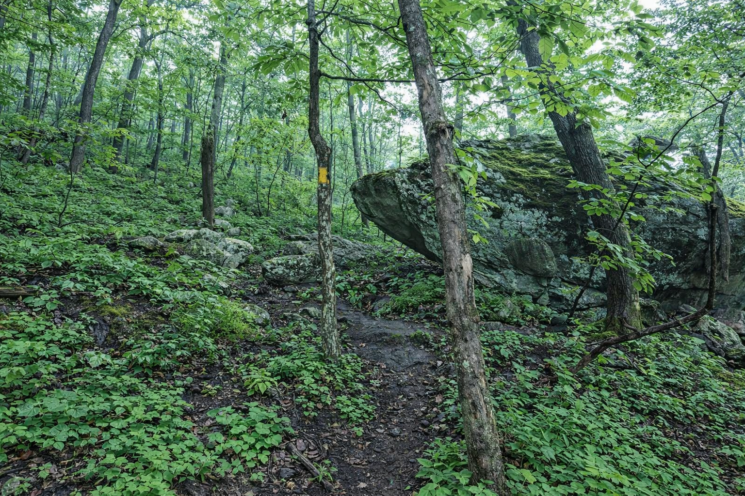
While Wintergreen is a resort community, know that most all of the mountain and valley trails here–like most trails in the Blue Ridge Mountains–insist on being taken seriously.
Follow this advice of experienced hikers of the Blue Ridge Mountains:
Do not hike alone.
Wear proper attire, including sturdy footwear.
Do not underestimate the terrain.
Carry drinking water and a snack.
Be aware of wildlife and respect its space.
Carry a hiking map.
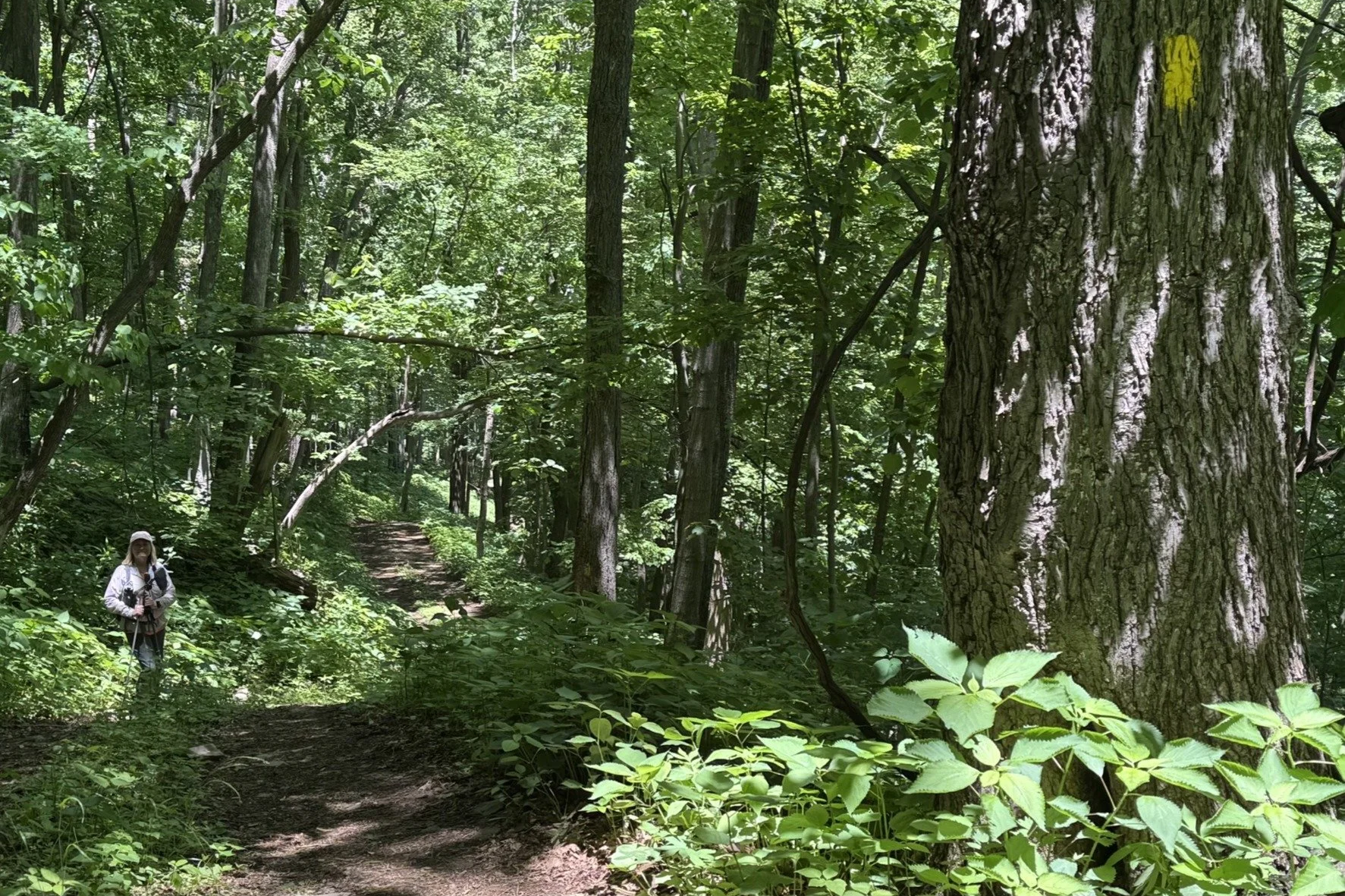
Stay on marked trails to reduce your exposure to ticks and poison ivy.
Be aware of your limitations.
Know that the weather can change rapidly. Weather is different in the mountains.
Most of the trails here are open in winter, but snow and ice can make any trail treacherous. You hike at your own risk!
Trails that cross Wintergreen’s ski slopes are closed during skiing season (i.e., Loggers Alley, Cedar Cliff North).
Wintergreen’s trails link up to make interesting hikes